Deepavali before sunrise — the south begins Diwali at dawn
In Tamil Nadu, Deepavali is kept on Naraka Chaturdashi with an oil bath before dawn; Goa burns Narkasur effigies in the dark. In 2026 it falls on 8 November.
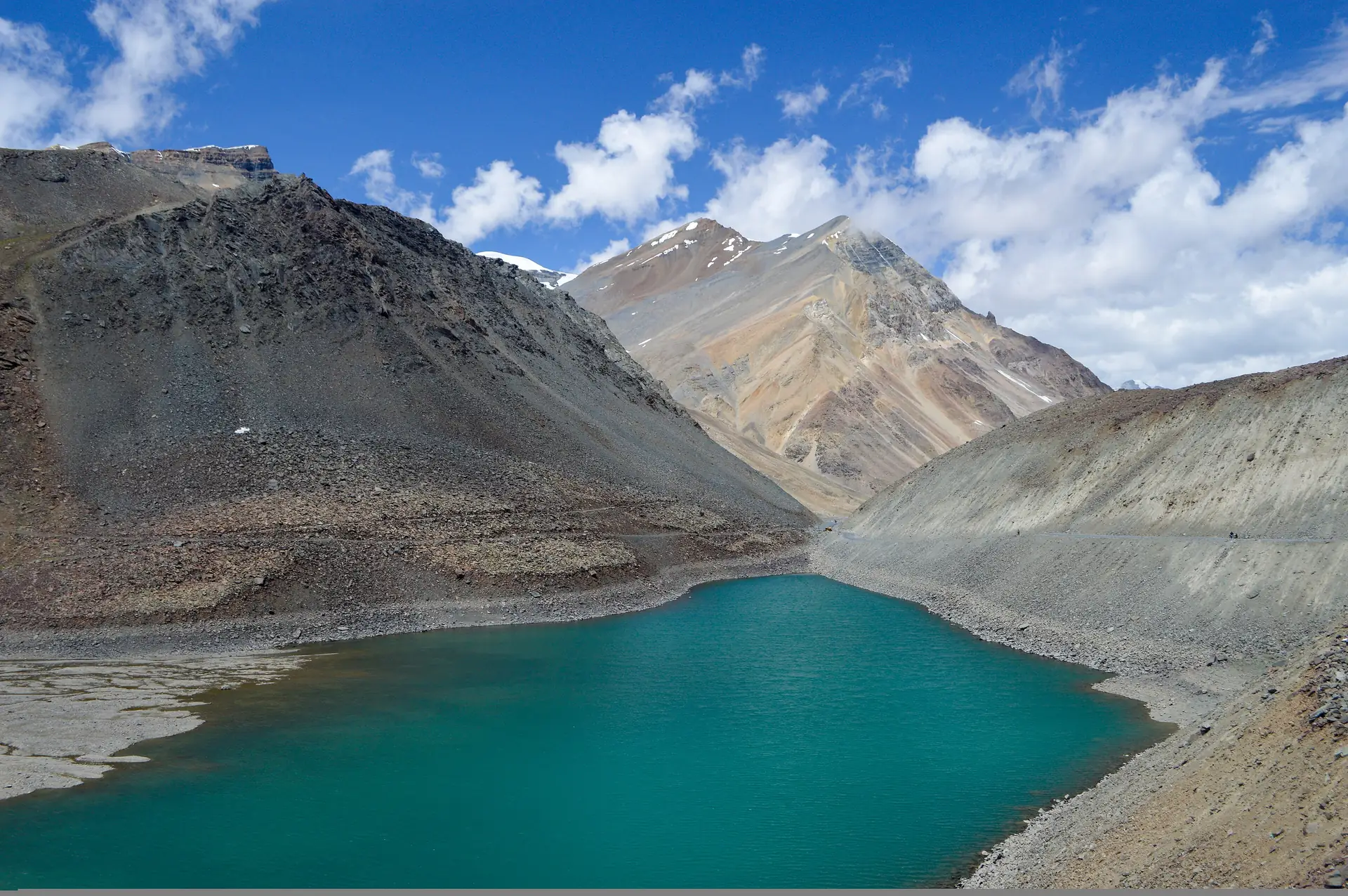
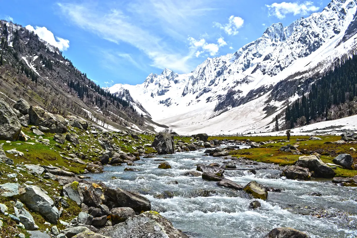
Suraj Tal, also called Tso Kamtsi or Surya Tal, is an 800 m long lake just below Baralacha La, a pass of 4,890 m in Lahaul and Spiti. Wikipedia calls it the third-highest lake in India and the 21st-highest in the world. It sits at the source of the Bhaga River, which flows to Tandi, meets the Chandra there and becomes the Chandrabhaga, known as the Chenab once it enters Jammu and Kashmir.
Photos: Saad Faruque from Bangalore, India (CC BY 2.0) · Tagooty (CC BY-SA 4.0) — via Wikimedia Commons, resized.
The lake is 65 km from Keylong, the district headquarters, on the Leh–Manali highway, which runs along the lake. Baralacha La is only 3 km beyond it. The road is shut by snow from November to April, according to Wikipedia; the exact days depend on the year, and we give none. The pass lies in the high zone where snow can fall through the year and starts melting in May.
Baralacha La is about 8 km long and has an old name, the "Pass with Crossroads on Summit", because roads from Zanskar, Ladakh, Spiti and Lahaul meet on it. The Bhaga river rises on one side of it, and on the other side the Chandra and the Yunan rise as well. The Bhaga valley below, 72 km long, is a narrow gorge without vegetation up to Darcha, and then widens to the confluence at Tandi.
On the road from Manali to Leh the lake and the pass come after Gondhla and Keylong. For the Spiti side, see the Kunzum Pass guide. For the Rohtang road and its permit, which is a separate rule from the highway, see the Rohtang permit. The seasons are in when to visit Keylong.
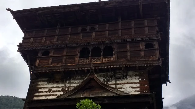
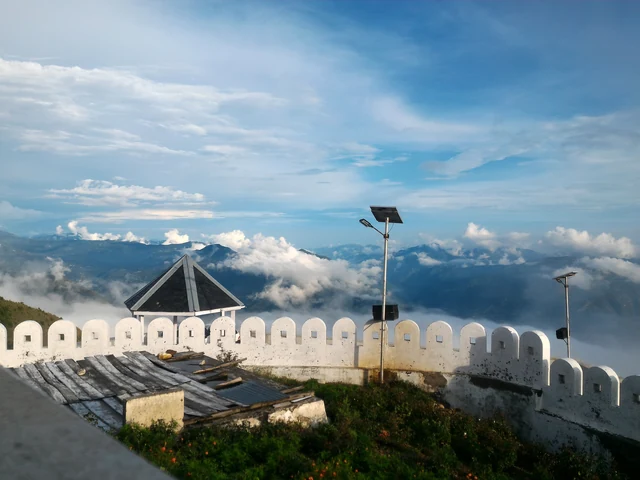
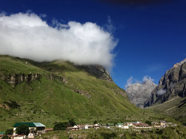
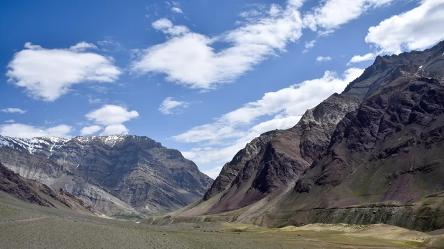
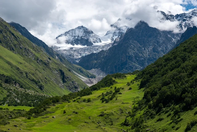
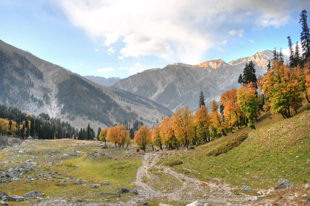
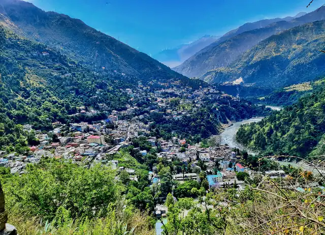
Suraj Tal lies just below Baralacha La, which is 4,890 m high. Wikipedia calls it the third-highest lake in India and the 21st-highest in the world. The lake is 800 m long. It is also called Tso Kamtsi or Surya Tal, and sits at the source of the Bhaga River.
Wikipedia gives 65 km, on the Leh–Manali highway, with the road passing the lake and the pass just 3 km further on. Our own router gives longer figures for the stretch, so we use the published one. It is a day trip from Keylong or on the way between Manali and Leh.
Wikipedia says the road is inaccessible in the winter months from November to April, when the pass is snowbound. Snow can fall on the zone through the year, and melt starts in May. Check road conditions with the authorities and in Keylong before you set out; do not rely on a date.