Guptakashi — the "hidden Kashi" on the road to Kedarnath
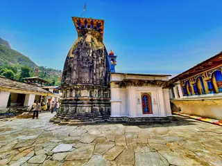
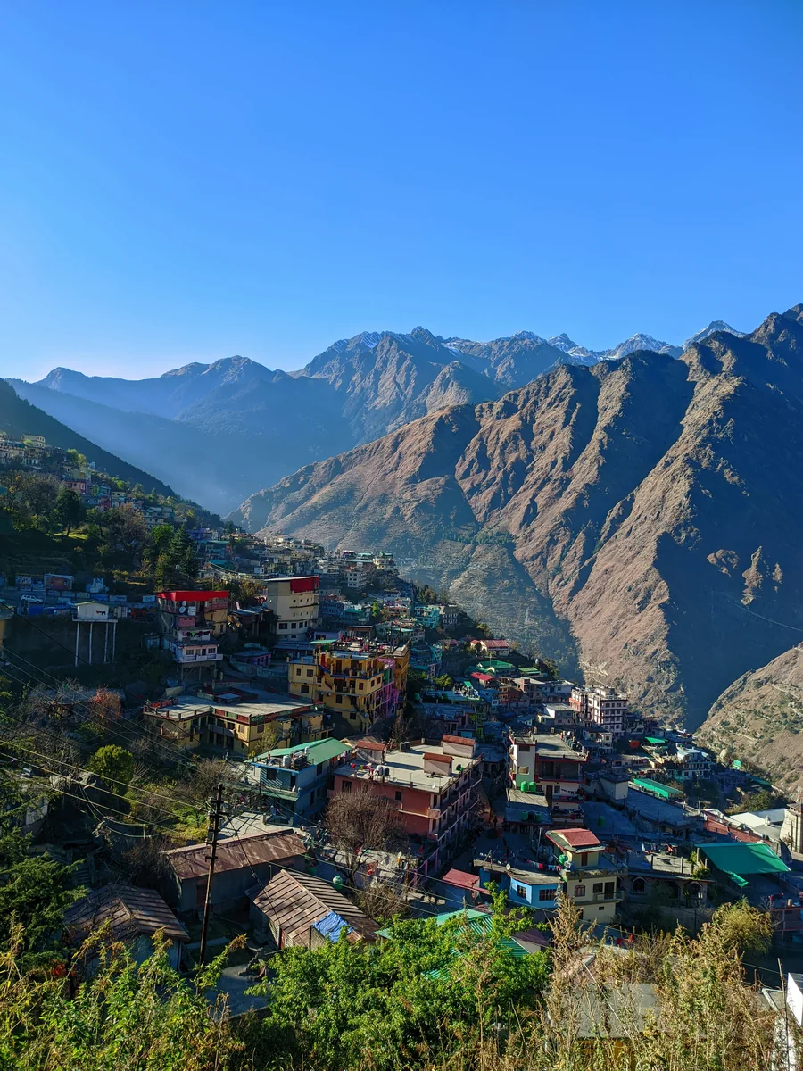
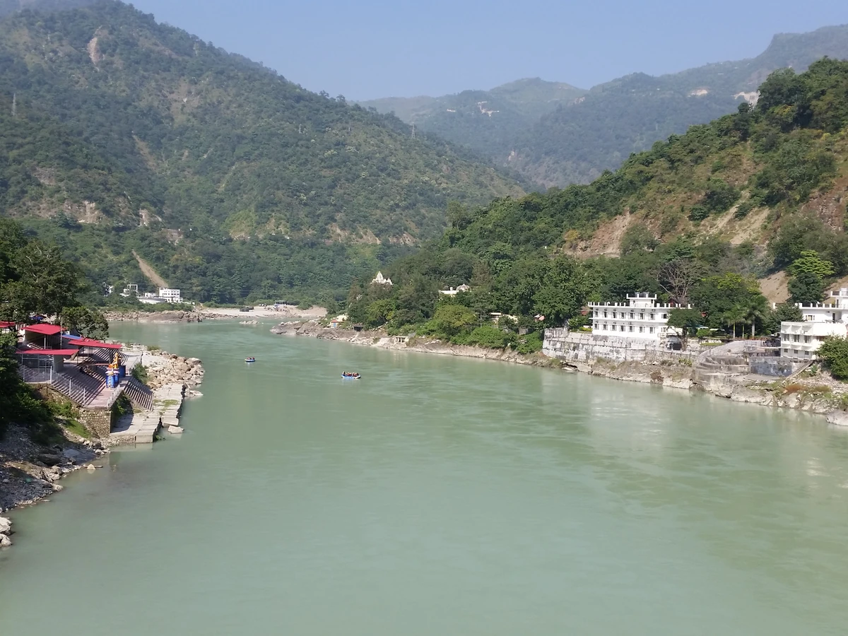
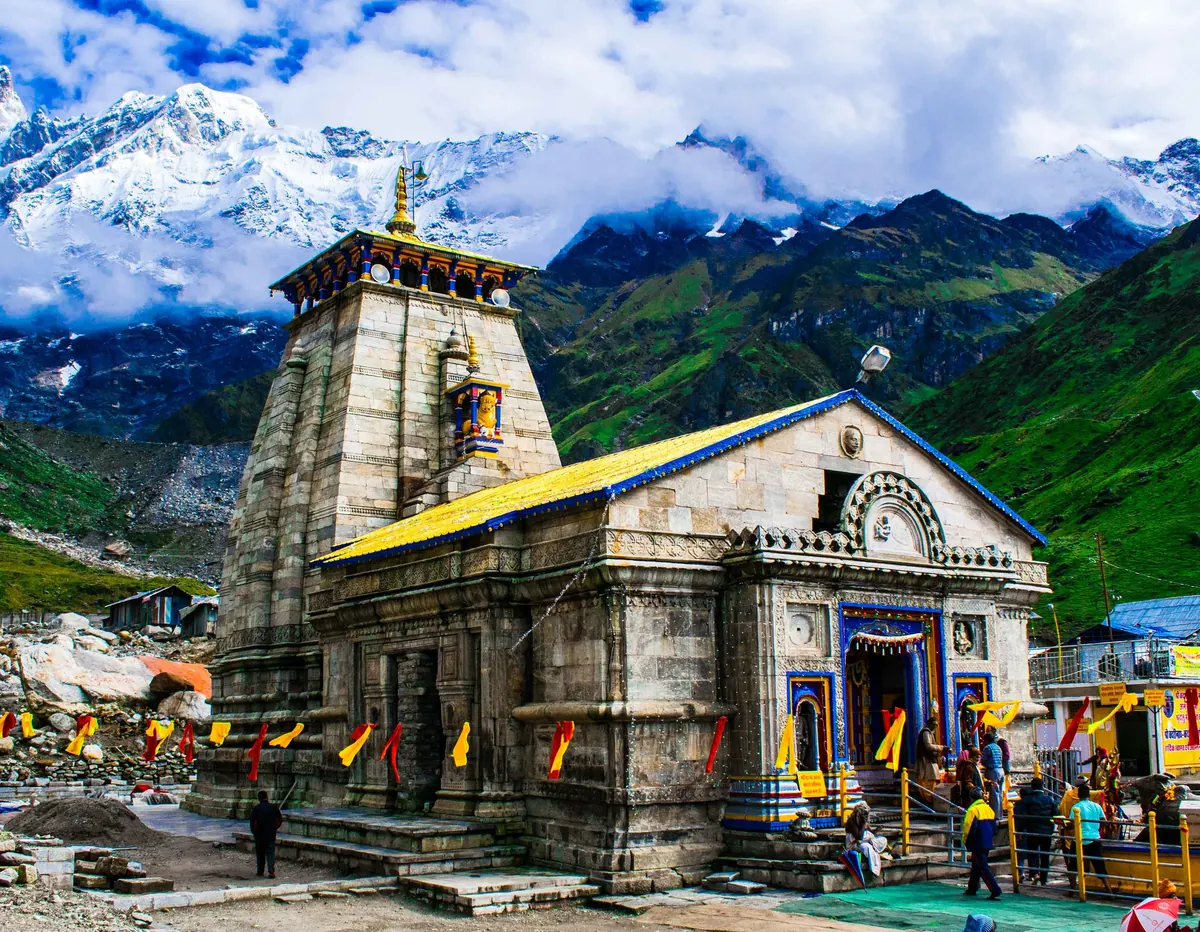
Guptakashi, at about 1,319 m on the Mandakini: the Vishwanath and Ardhanareshvara temples, the legend of Shiva hiding as a bull, 55 minutes from Gaurikund.
No one has started a group going to Kedarnath yet. Start one and other travellers can ask to come along.
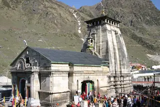
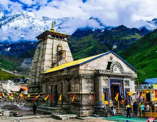
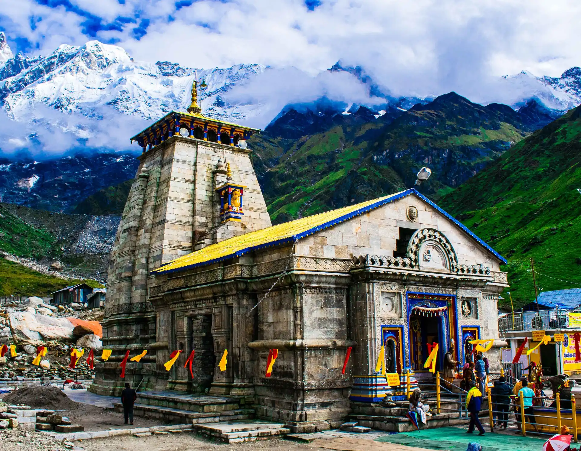
Kedarnath is a Shiva pilgrimage at about 3,583 m near the source of the Mandakini, in Rudraprayag district, farthest from a road of the four Chota Char Dham shrines. It is not reached by road. The road ends at Gaurikund, and the last 16 to 17 km to the Kedarnath Temple are on foot, by pony, by palanquin or by helicopter. Wikipedia puts the walk at 6 to 8 hours. The temple is open to the public only from April (Akshaya Tritiya) to November (Kartika Purnima); in winter its deity is carried down to Ukhimath.
The road to Gaurikund is long. From Delhi it is about 488 km, and free-flow routing says 8 hours; the hill road above Rishikesh adds a good deal more. Rishikesh is about 203 km and 357 minutes from Gaurikund on our routing, and Wikipedia gives Kedarnath as 223 km from Rishikesh, which is that road plus the walk. Pilgrims are asked to register for the yatra on the Uttarakhand government's portal first.
Kedarnath was the worst affected place in the flash floods of June 2013: the town was nearly destroyed, thousands died or went missing, and the temple itself survived. Weather on the walk and at the top can change fast, and you should treat the season, the registration and the day's advice as part of the plan.
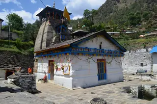
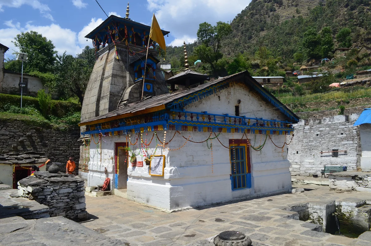
On the way up the road, Gauri Kund is the base camp, with hot springs. The Triyuginarayan Temple is the village temple where, by tradition, Shiva and Parvati were married, and Guptakashi is the town where, by tradition, Shiva hid from the Pandavas. See the two-day walk, the one-day plan on the road side, things to do near Kedarnath, when to visit and how to reach Kedarnath.
Photos: Shaq774 at en.wikipedia (Public domain) · Asdelhi95 (CC BY-SA 4.0) · Photos Worldwide (CC0) — via Wikimedia Commons, resized.
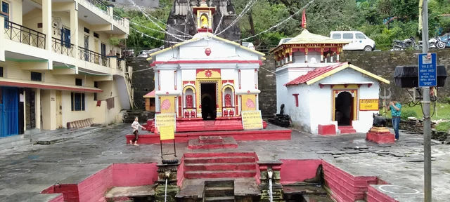
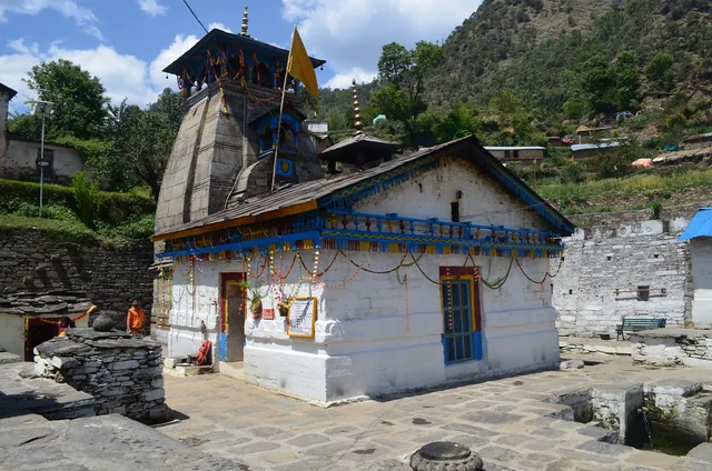
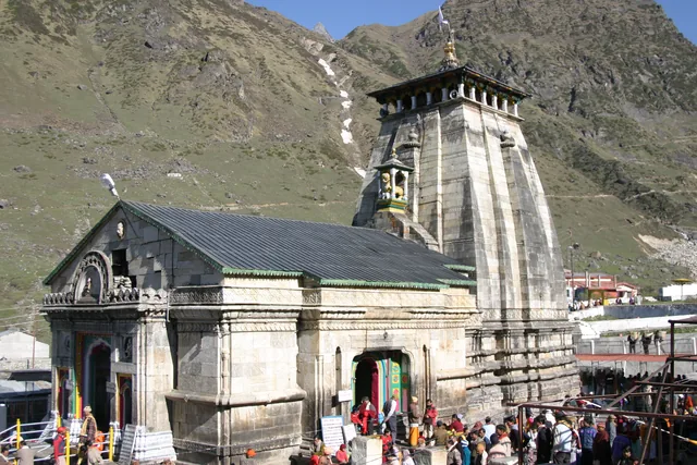
The places a Kedarnath day reaches, with the road time from town. Each opens on the map with its plans and pages beside it.
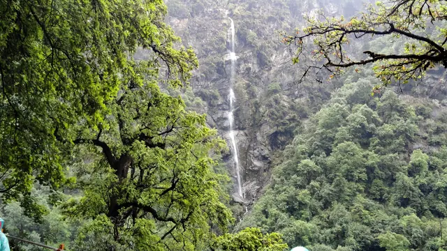
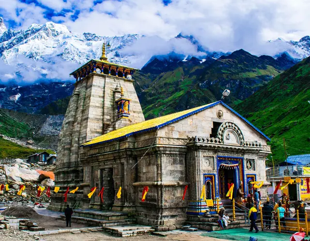
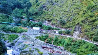
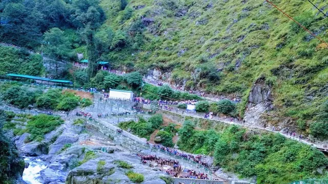
By road to Gaurikund, the last motorable point, then on foot for 16 to 17 km; Wikipedia says the walk takes 6 to 8 hours. Ponies, palanquins and helicopters are the other ways up, the helicopters flying from places such as Phata and Sersi in 8 to 10 minutes. The temple is not reachable by road.
Only from April, around Akshaya Tritiya, to November, around Kartika Purnima, the autumn full moon. In winter the deity is carried down to Ukhimath for the six months of heavy snow. The exact dates are set each year, so check the temple committee's site before you plan the journey.
The Badarinath Kedarnath Temple Committee asks pilgrims to register for the yatra on the Uttarakhand government's portal before they travel. Do it before you leave home, carry the registration and an identity card, and check the portal for any rules for the year, since we cannot verify them here.
Photographs by Wikimedia Commons contributors (CC0, CC BY, CC BY-SA), resized; each picture is credited on its own page.