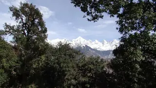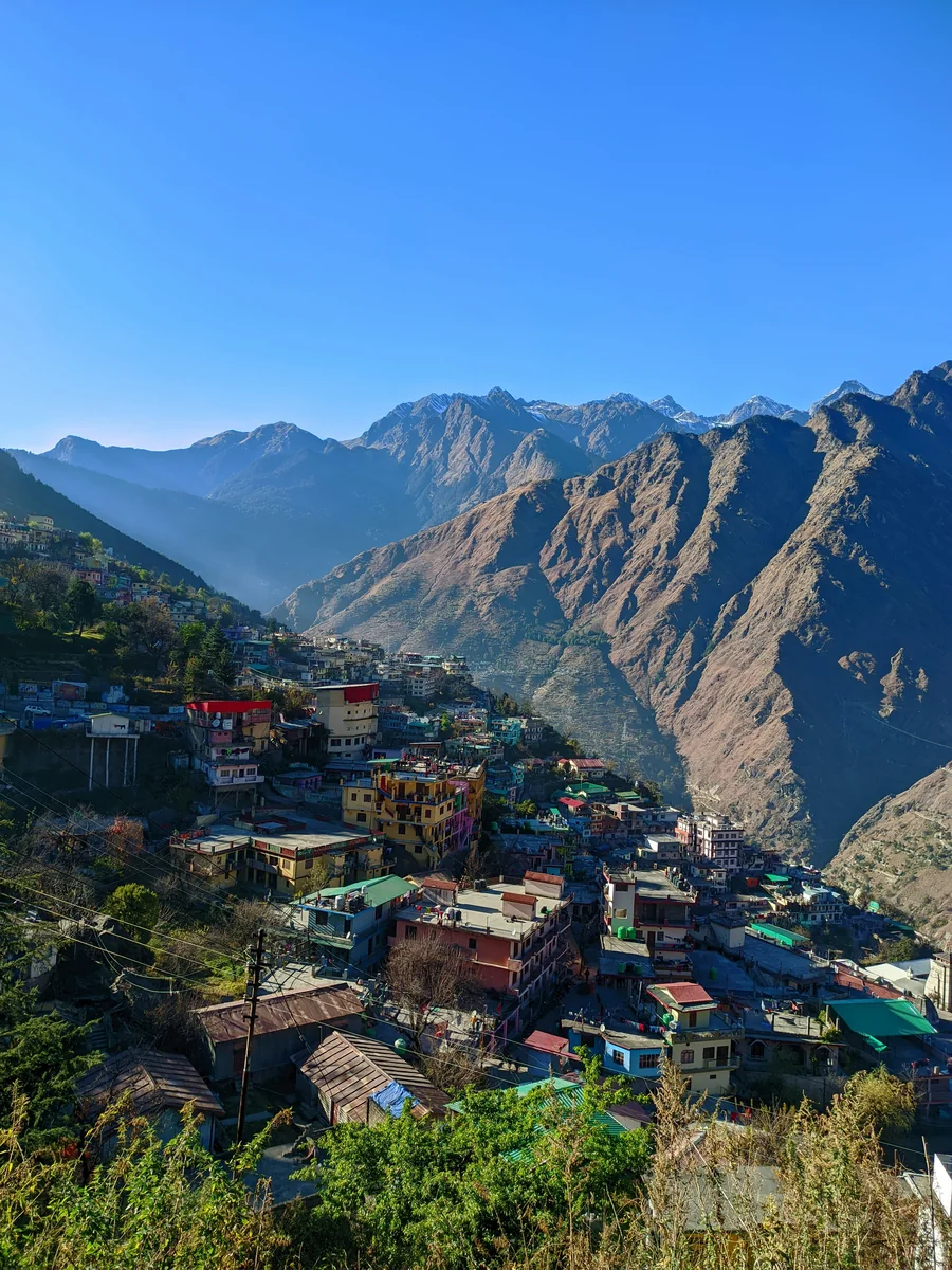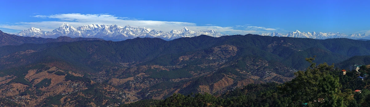
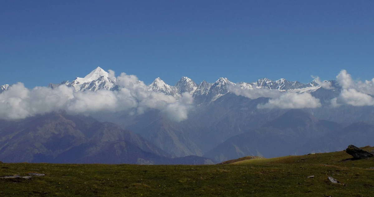
Thamri Tal, Munsiyari — the forest lake with the musk deer
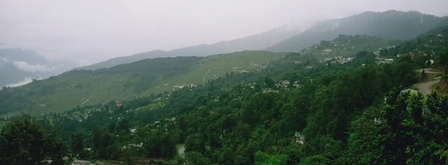
Thamri Kund or Thamri Tal above Munsiyari: a small natural lake in broad-leaved forest, a musk-deer habitat with a view of the Panchachuli peaks, and times.
No one has started a group going to Munsiyari yet. Start one and other travellers can ask to come along.
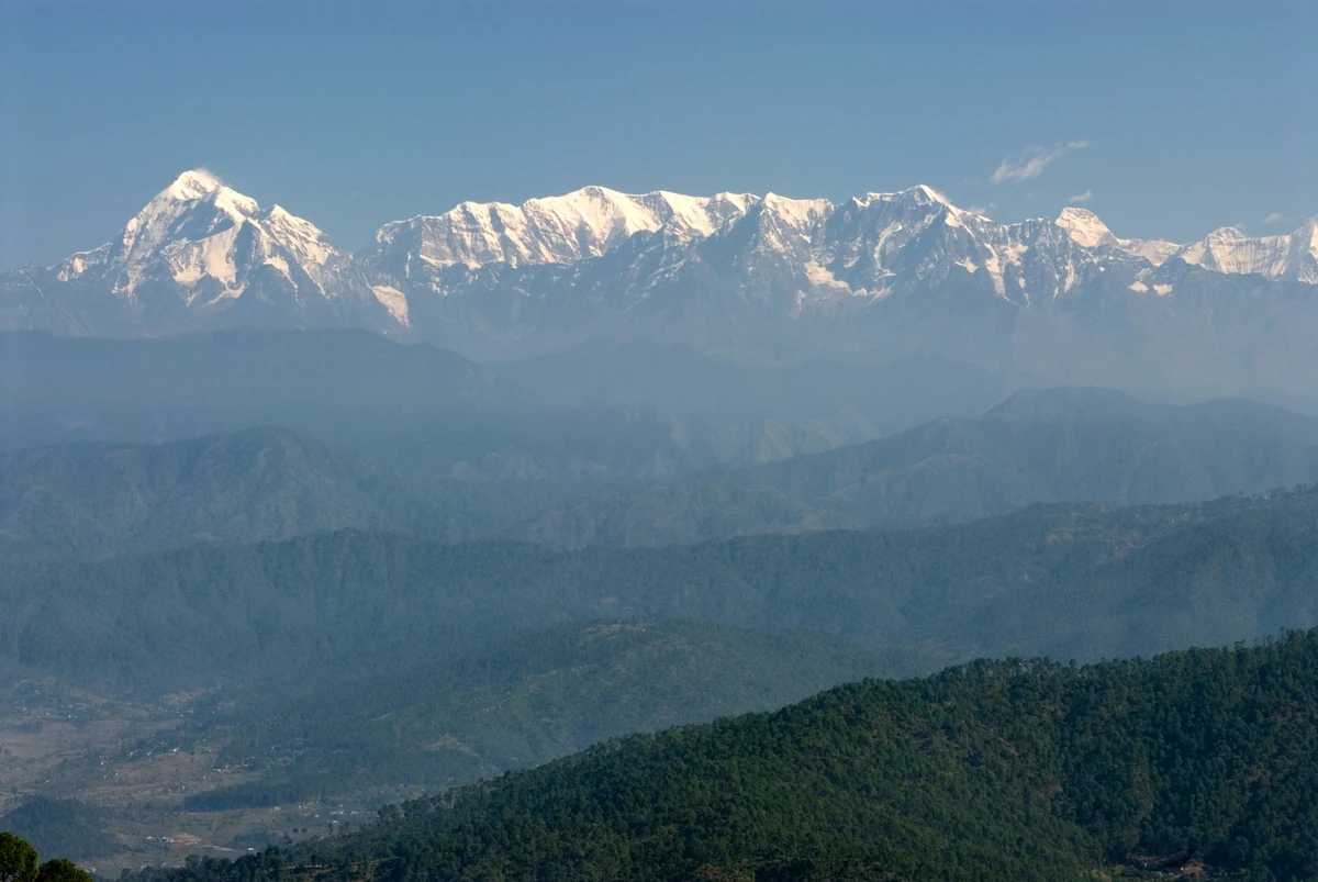
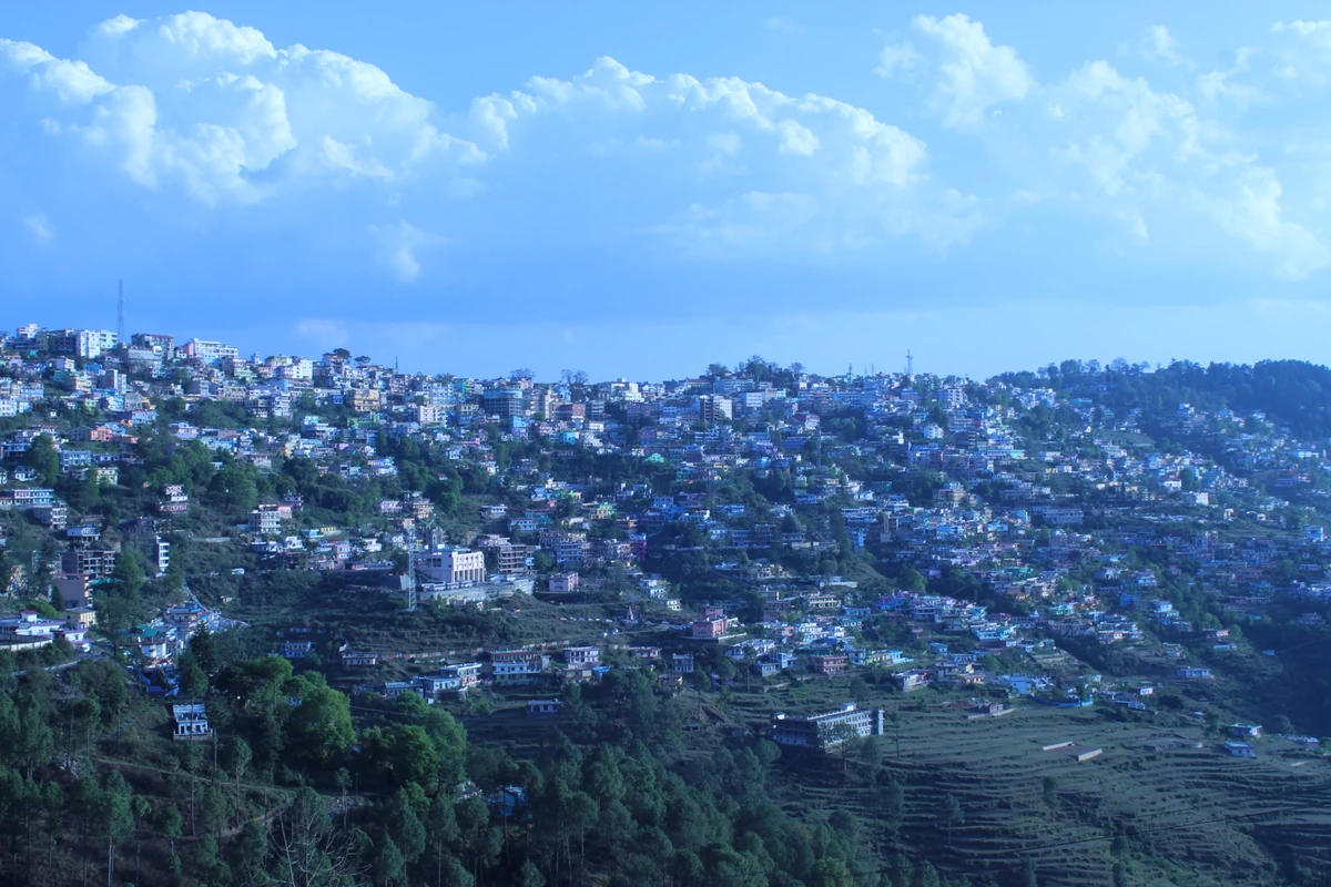
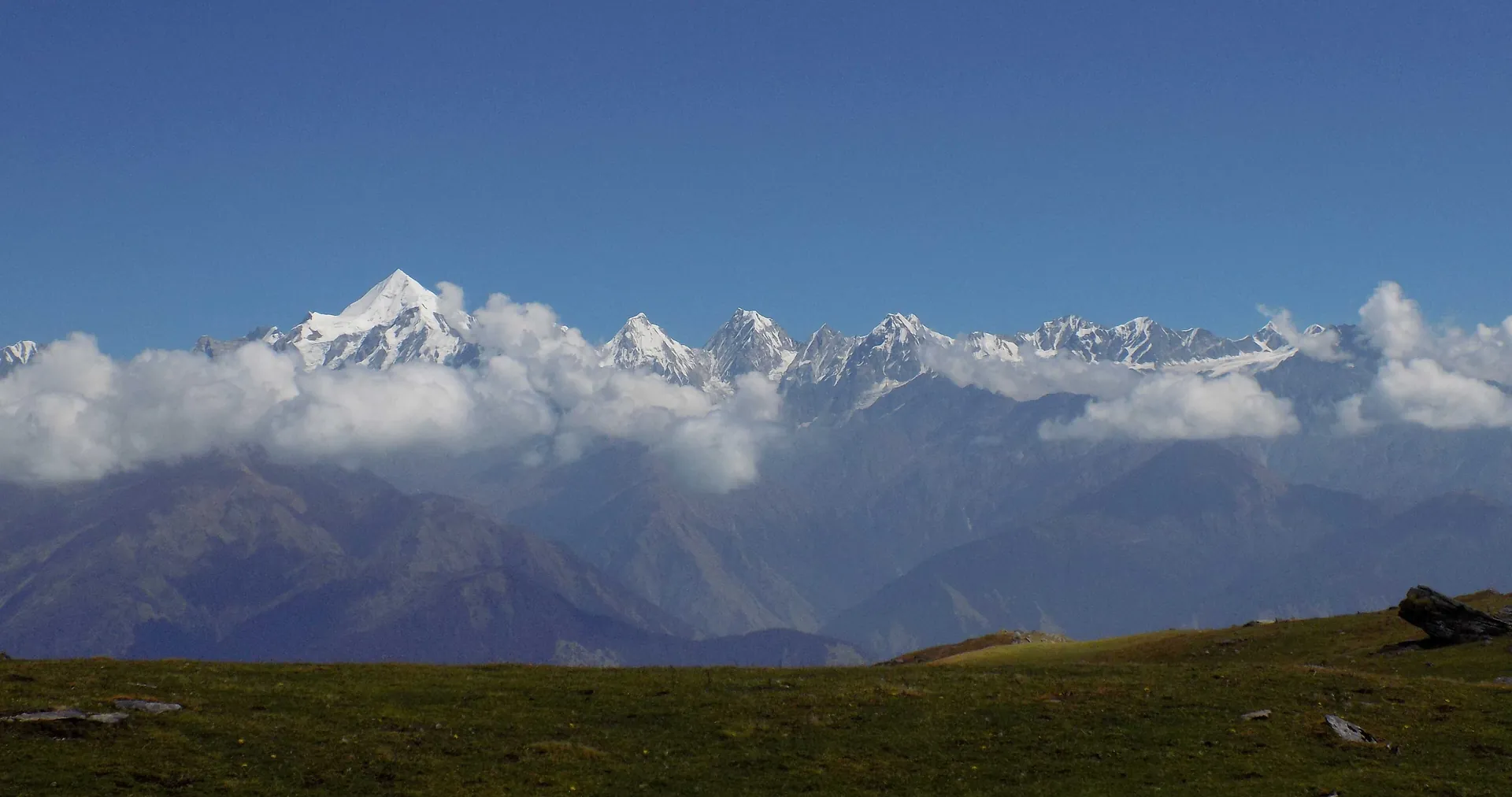
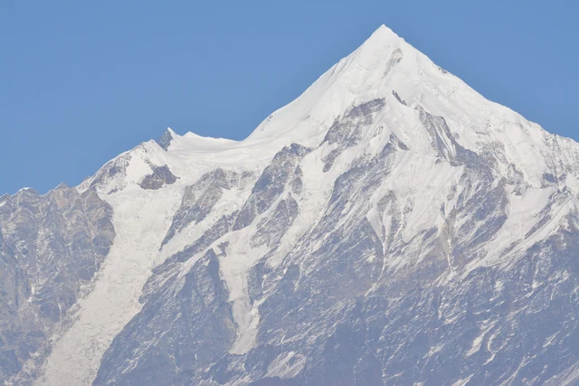
Munsiyari is a hill station and sub-division headquarters in Pithoragarh district, at about 2,200 m, at the base of the great Himalayan range. It is the last town below the five Panchachuli peaks and the starting point of many treks. It is far from the plains: about 127 km and 218 minutes from Pithoragarh on our routing, and about 276 km and 524 minutes from the railhead at Kathgodam.
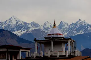
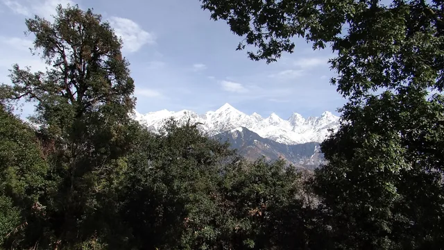
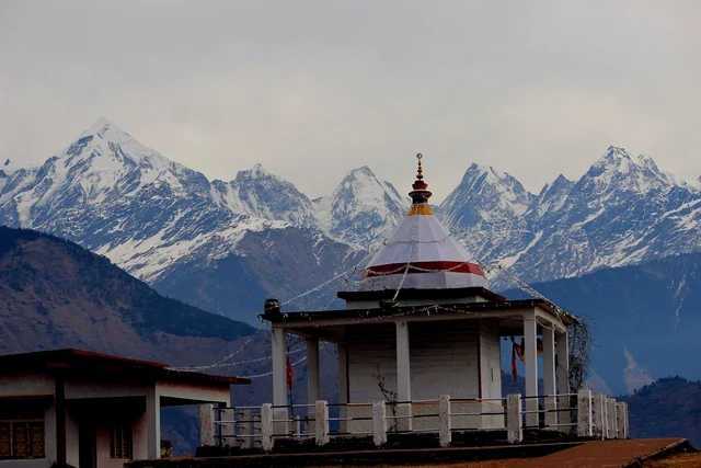
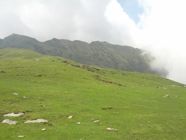
The town's walks are short. The Nanda Devi Temple, a small white temple on a ridge facing the peaks, is about 7 minutes away by road on our routing, and Thamri Tal, a small forest lake that Wikivoyage lists as musk-deer habitat, is about 9 minutes away. Wikivoyage also names the Khaliya Top meadow and the Maheshwari Kund pond, and Wikipedia records India's first lichen park, laid out here from 2019. The Gori river basin around the town is an Important Bird Area, with 319 bird species recorded by May 2014.
Munsiyari was once the winter home of the Bhotia traders of the Johar valley, who carried goods to and from Tibet; the valley runs north to Milam and its glacier, and Wikipedia says the best time for the glacier is mid-March to May. The Johar area is a border region and a road to Milam has been under construction, so check the current access, permits and conditions locally and your government's travel advice before you plan any trek. Read when to visit, how to reach Munsiyari and things to do in Munsiyari, and copy the one-day plan.
Photos: Kabilan pj (CC BY-SA 4.0) · Jaiambey (CC BY-SA 4.0) · Shyamal L (CC BY-SA 3.0) — via Wikimedia Commons, resized.
The places a Munsiyari day reaches, with the road time from town. Each opens on the map with its plans and pages beside it.
Munsiyari is about 276 km and 524 minutes by road from the railhead at Kathgodam on our routing, and about 553 km and 721 minutes from Delhi, free-flow. Pithoragarh is the nearest large town, about 127 km and 218 minutes away. Wikivoyage describes four routes from Almora; the hill roads are slow, so plan a night on the way.
Look at the Panchachuli peaks, walk or ride to the Nanda Devi Temple, visit Thamri Tal, and use the town as the base for treks into the Johar valley towards Milam. Wikipedia records 319 bird species in the Gori river basin and a lichen park of 1.5 acres. We have no verified hours, rates or timed trails.
We have no climate table for Munsiyari. Wikipedia says the suitable time for Milam Glacier is from mid-March to May, and that the monsoon, which sets in during June, brings landslides and roadblocks. Wikivoyage suggests winter for the tulip and eco park. Check the forecast and the road before you plan.
Photographs by Wikimedia Commons contributors (CC0, CC BY, CC BY-SA), resized; each picture is credited on its own page.