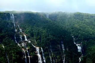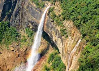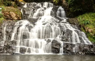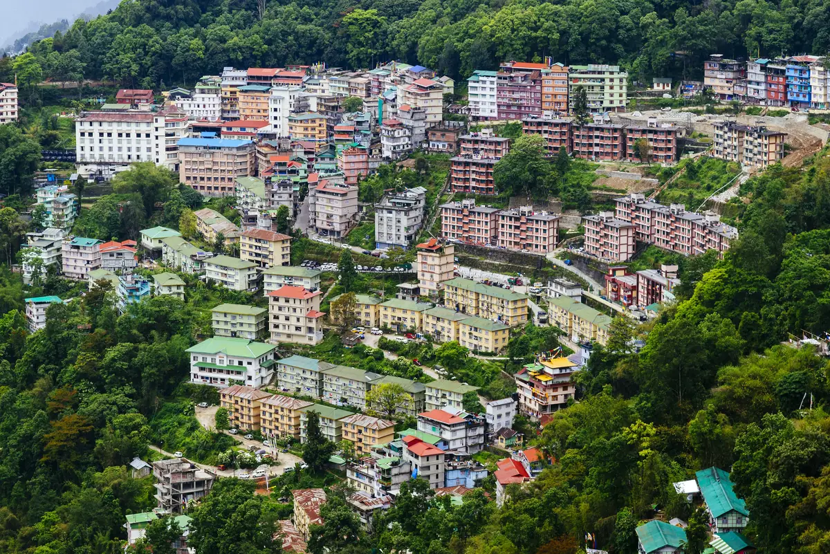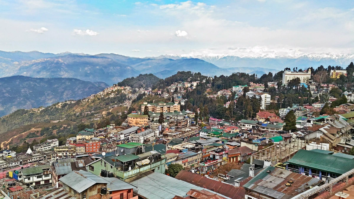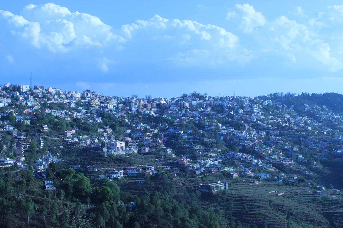
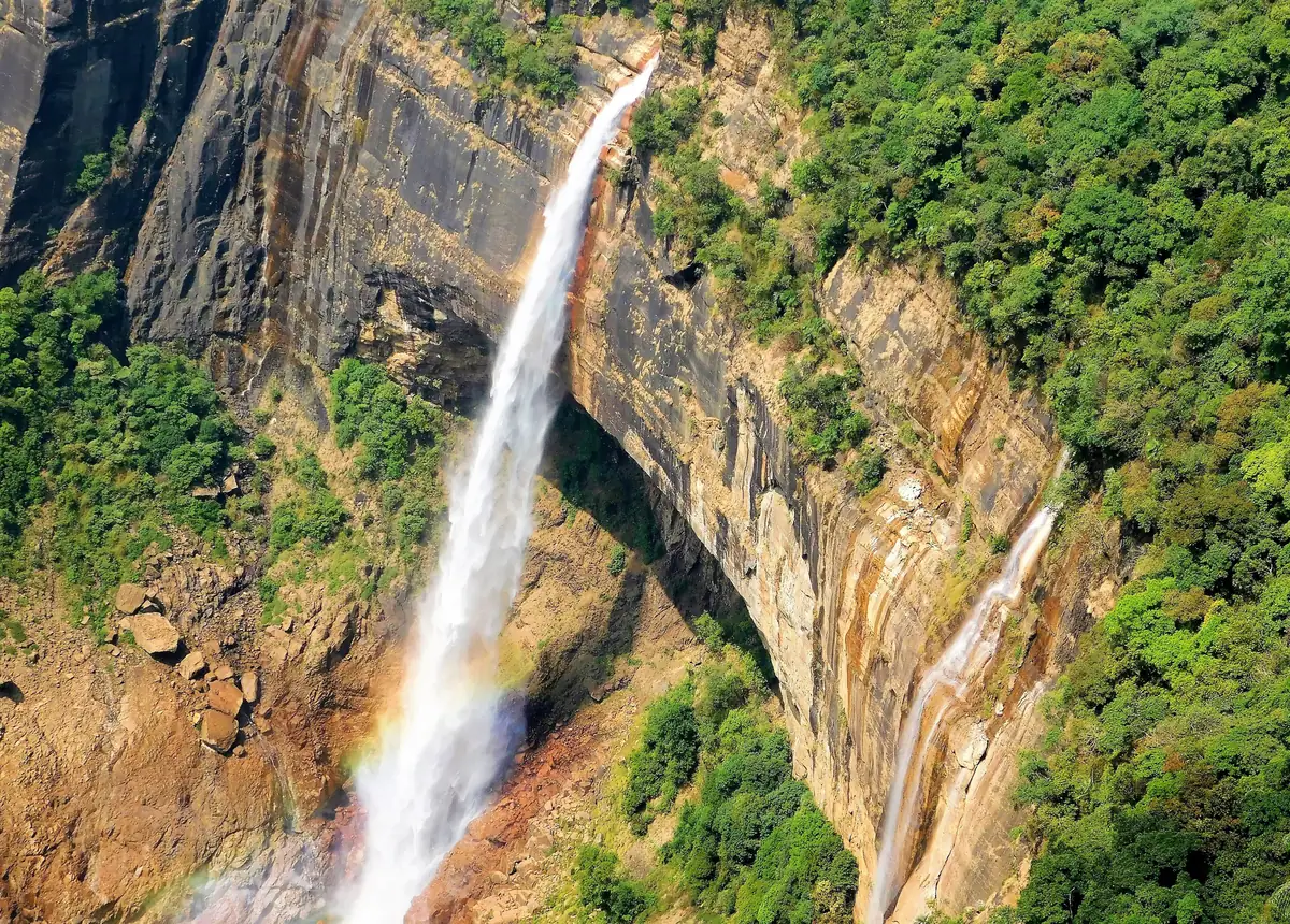
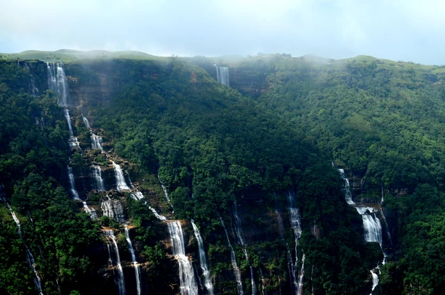
Nohsngithiang Falls, Cherrapunji — the Seven Sisters waterfall
Nohsngithiang Falls, also called the Seven Sisters or Mawsmai Falls, a seven-segmented waterfall of 315 m near Cherrapunji that runs only in the rainy season.
No one has started a group going to Cherrapunji yet. Start one and other travellers can ask to come along.
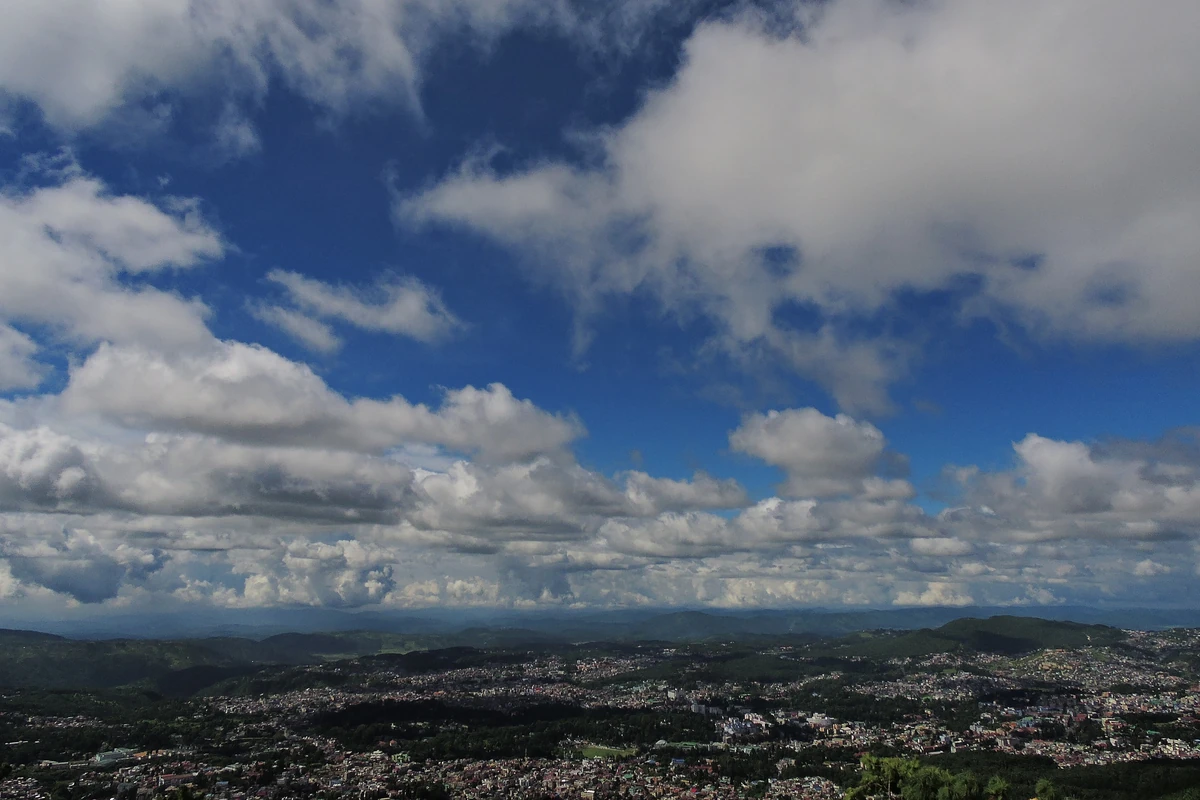
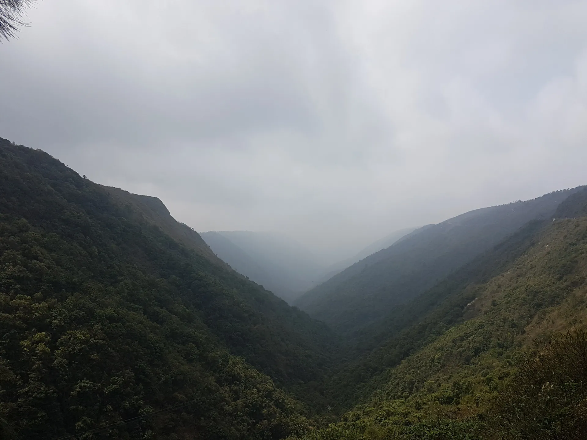
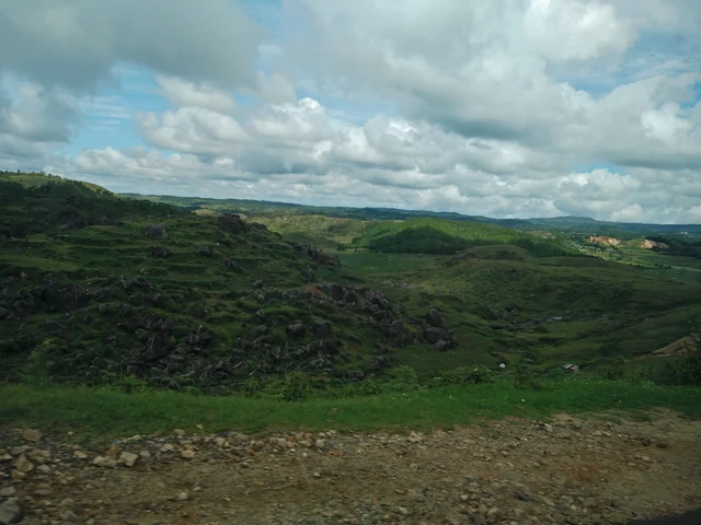
Cherrapunji, officially Sohra again, is a plateau town of the southern Khasi Hills at about 1,430 m, once credited as the wettest place on Earth. Wikipedia says nearby Mawsynram now holds that title, but Cherrapunji still keeps the records for the most rain in a calendar month, 9,300 mm in July 1861, and in a year.
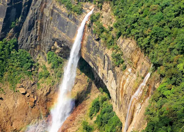
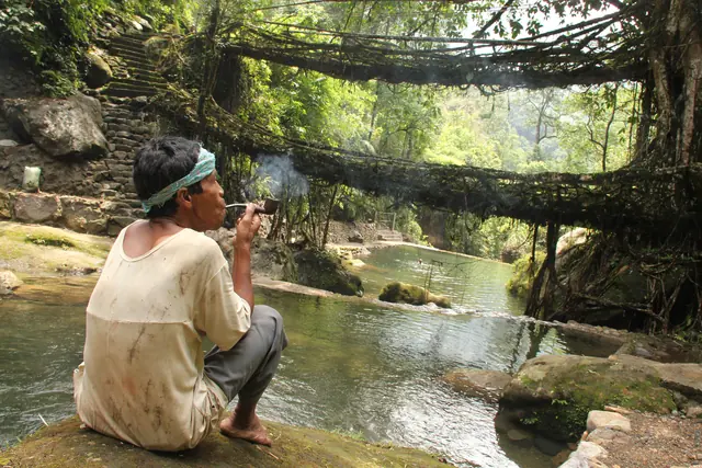
The waterfalls are the reason to come. Nohkalikai Falls, 340 m, is the tallest plunge waterfall in India, and the Nohsngithiang Falls, the Seven Sisters, run in seven segments down a limestone cliff in the rains. The villages around the town grow living root bridges from rubber fig roots; read what they are and what we cannot yet verify.
The town is about 50 km and 88 minutes by road from Shillong on our routing, and Shillong's small airport is about 74 km and 132 minutes away; Wikipedia gives 80 km and 165 km for Shillong and Guwahati airports. Most visitors come up from Shillong. From Delhi it is about 1,916 km by road, with 23 hours of free-flow driving. Read how to reach Cherrapunji and when to visit. Copy the one-day plan with both waterfalls, read things to do in Cherrapunji, and see Shillong for the capital.
Photos: Jyotishkardey (CC BY-SA 4.0) · Rohan Mahanta (CC BY-SA 4.0) · Arshiya Urveeja Bose (CC BY 2.0) — via Wikimedia Commons, resized.
The places a Cherrapunji day reaches, with the road time from town. Each opens on the map with its plans and pages beside it.
Most visitors come up from Shillong, about 50 km and 88 minutes by road on our routing, on the road Wikipedia calls State Highway 5. Shillong's small airport at Umroi is about 74 km and 132 minutes away, and Guwahati airport about 164 km and 242 minutes. Roads can slow badly in the heavy monsoon, so allow extra time.
See Nohkalikai Falls, the tallest plunge waterfall in India, and the Nohsngithiang Falls, the Seven Sisters, in the rainy season. Read about the living root bridges of the villages nearby, which need a local guide and a full day. Mawlynnong and Dawki are a long separate day from Shillong.
The waterfalls are fullest in the monsoon, but cloud then hides the views, and the IMD normals give 2,608.1 mm of rain in June and 2,665.4 mm in July. The dry months, November to February, are clearer, with 49.3 mm in November and 10.2 mm in December, though the falls weaken.
Photographs by Wikimedia Commons contributors (CC0, CC BY, CC BY-SA), resized; each picture is credited on its own page.