Kunzum Pass (Kunzum La) — the gate between Lahaul and Spiti, and when it is open
Kunzum La, 4,551 m, joins Lahaul and Spiti: 122 km from Manali, 79 km from Kaza, open roughly June to October, with the Chandratal trek from the top.
What it is
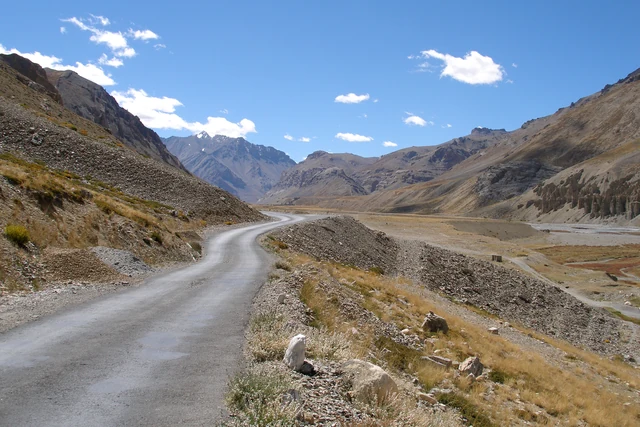
Kunzum Pass, known in Tibetan as Kunzum La, is a high pass in the eastern Kunzum range. It is the road between two valleys: the Lahaul valley to the west and the Spiti valley to the east. The road is NH505, and it is the way from Gramphoo in Lahaul to Kaza, the headquarters of Spiti. Wikipedia puts the top at 4,551 m. From Manali the pass is 122 km; from Kaza it is 79 km.
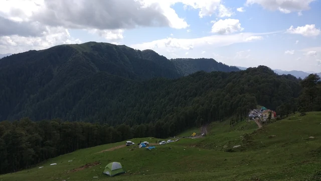
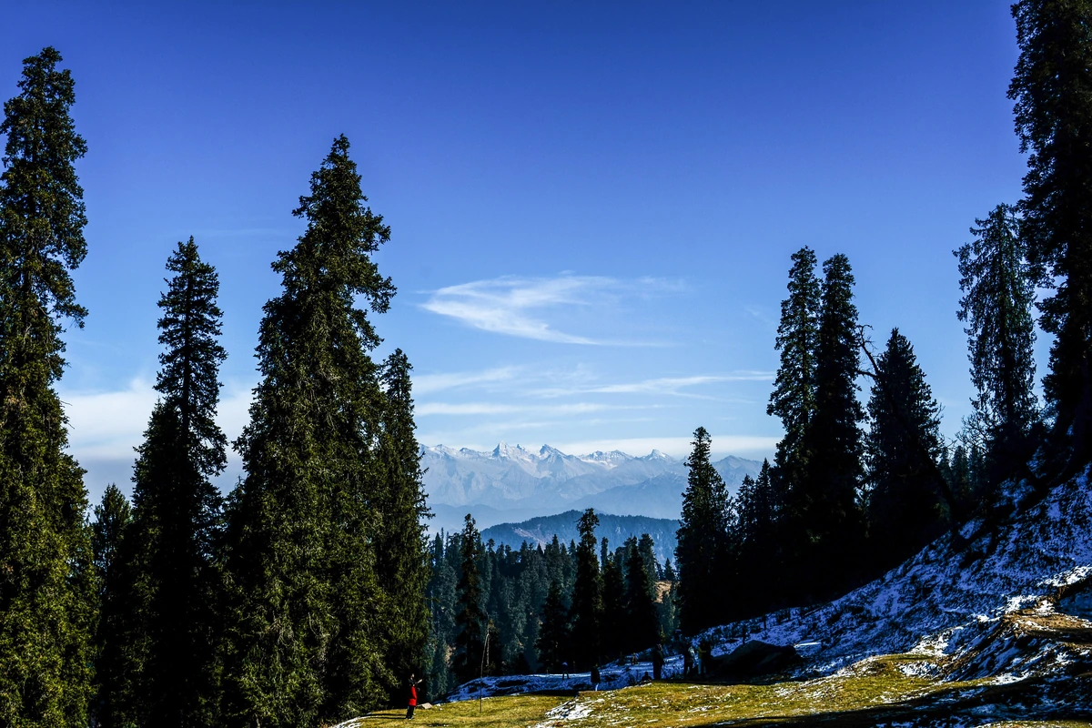
From the Lahaul side the road climbs steeply from Batal, at 4,000 m on the Chandra river, through a run of sharp hairpin turns. Wikipedia says they test even experienced drivers. On the Spiti side the road starts from the small town of Losar at 4,076 m. It follows the right bank of a tributary of the Spiti and climbs 22 km through a dry, semi-desert landscape to the top.
When it is open
The pass is normally open from June or July to October or November. The opening and closing dates depend on the weather and on road repair by the Border Roads Organisation, so they move each year, and we give no date. The Manali to Kaza road is closed for about seven winter months, and the pass closes with it. The other road into Spiti, from Shimla through Kinnaur by Pooh and Tabo, stays open the whole year, subject to landslides and heavy snow. See when to visit Kaza and Spiti in winter.
At the top
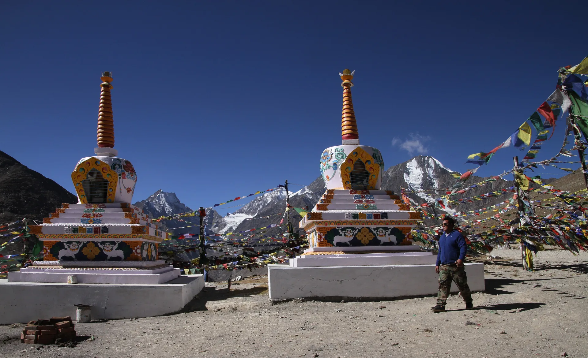
Drivers and travellers stop at the shrine of Kunzum Mata to ask a blessing before they go on, and the stupas and prayer flags that mark the top are the first thing you see. Wikipedia also records a 15 km trek from the pass to Chandratal, the Moon Lake. Most visitors take the side road to the lake instead; see the Chandratal guide. The highways agency is planning a tunnel under the pass for all-weather travel between Manali and Spiti, according to Wikipedia.
Been here?Help the next traveller — our team checks every contribution.
Questions people ask
How high is Kunzum Pass?
Wikipedia gives 4,551 m, or 14,931 ft. The pass joins the Lahaul valley and the Spiti valley on NH505. It is 122 km from Manali and 79 km from Kaza, on the road from Gramphoo in Lahaul to Kaza, the headquarters of Spiti.
When is Kunzum Pass open?
Normally from June or July to October or November, depending on the weather and on road repair by the Border Roads Organisation. The Manali to Kaza road is closed for about seven winter months, while the Kaza to Pooh to Tabo to Shimla route stays open the whole year.
Can you walk to Chandratal from Kunzum Pass?
Yes. Wikipedia mentions a 15 km trek to Chandratal, the Moon Lake, from the top of Kunzum La. Many people drive to the lake by the side road from Batal instead. See our Chandratal guide for the road and the last stretch on foot.