
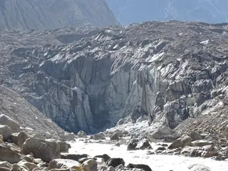
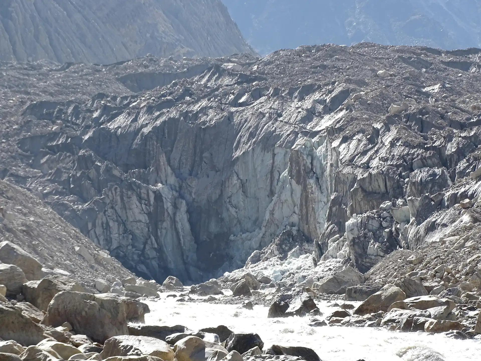
Gomukh — the snout of the Gangotri Glacier, 18 km on foot from Gangotri
What it is
Gomukh is the point where the Gangotri Glacier ends and the Bhagirathi emerges, at about 4,023 m inside the Gangotri National Park. It is a Hindu holy place, about 18 km from Gangotri, reached on foot.
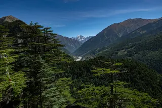
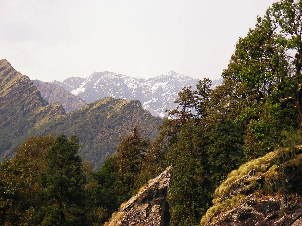
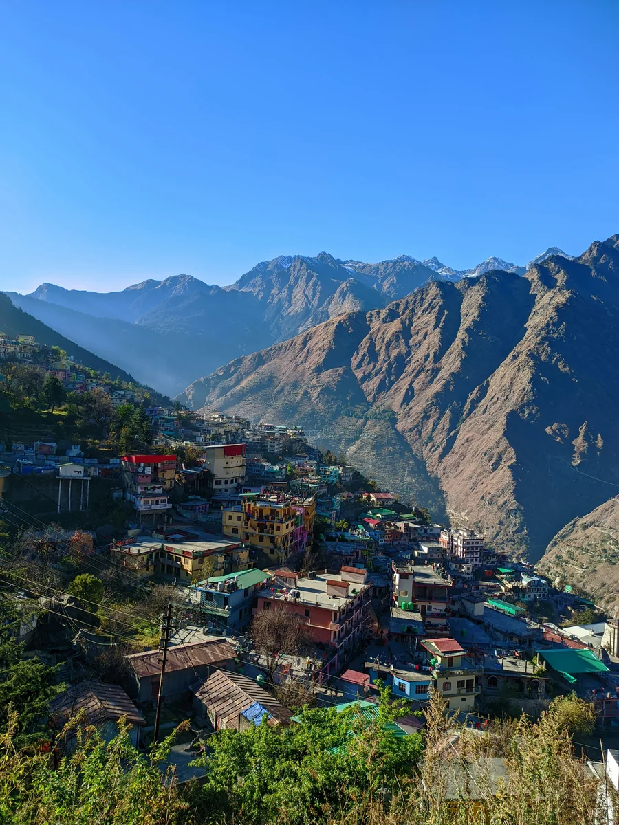
Photos: Pathupawar (CC BY-SA 4.0) — via Wikimedia Commons, resized.
The route
From Gangotri the trail follows the Bhagirathi valley by way of Chirbasa, named for its blue pines, and Gila Pahar, a landslide-prone stretch that the 2013 floods badly damaged, to Gomukh. The trek to Tapovan starts from the snout and is only partly marked, with rockfall, uneven glacial ground and a steep last climb of about 2 km.
The glacier
Wikipedia says the glacier system reaches above 7,000 m, that the ice front has pulled back some 1.5 km since the 1950s, and that recent surveys show it going back by more than 30 m a year.
Before you go
We have no verified trek times, permit rules or daily limits, and the ground changes with rockfall and landslides, so this page does not plan the walk. Ask the forest authorities, go with an experienced guide and allow spare days.
Combine it with
The Gangotri Temple is the start. Read things to do in Gangotri, when to visit Gangotri and the one-day plan for the road side.
Plans that include this
All Gangotri itineraries →
Nearby places
All of Gangotri →
Nearby destinations
All destinations →
Questions people ask
What is Gomukh?
The snout of the Gangotri Glacier, the source of the Bhagirathi, at about 4,023 m in the Gangotri National Park. It is a Hindu pilgrimage site, about 18 km from Gangotri, reached on foot. Wikipedia says the glacier system reaches above 7,000 m and that its front has pulled back some 1.5 km since the 1950s.
What is the route?
The trail leaves Gangotri and follows the Bhagirathi valley through Chirbasa, named for its blue pines, and Gila Pahar, a landslide-prone stretch the 2013 floods damaged, to Bhojwasa and Gomukh. The trek to Tapovan starts beyond; its last 2 km is a steep climb of about 1,500 ft. We have no verified times for any section.
Do you need a permit?
Gomukh lies inside the Gangotri National Park, and access to the park is controlled, but we have no verified permit rules, fees or daily limits, and they change. Ask the forest authorities in Uttarkashi and Gangotri before you go, and plan the trek with an experienced local guide and a spare day for weather.