How to reach Kashmir and Ladakh from Delhi — the train to Katra and on to Srinagar, flights, and the two highways to Leh
Delhi to Srinagar and Leh: the Katra train and the Vande Bharat on to Srinagar, flights, road distances in km, and the Manali and Srinagar highways to Leh.
Kashmir and Ladakh are reached by different routes. Kashmir has a railway as far as Srinagar, since the line crossed the Chenab. Ladakh has no railway, so most visitors fly to Leh, and two mountain highways open in summer. This guide sorts the routes from Delhi. Every road distance here is free-flow routing over OpenStreetMap, from our hub guides, and traffic adds hours. We have no verified timetable or fare, so check current trains and flights.
There are two legs. First a train from Delhi to Shri Mata Vaishno Devi Katra, which trains have reached since 4 July 2014. The station is about 1.6 km and 3 minutes from the middle of the town. Then one of the Vande Bharat trains that have linked Katra and Srinagar since 6 June 2025. The Press Information Bureau put the run at about three hours.
On the way the line crosses the Chenab Rail Bridge, whose deck stands 359 m above the river bed. Srinagar's station is at Nowgam, about 9 km and 12 minutes from the centre on our routing. See how to reach Katra and how to reach Srinagar.
To Kashmir by road
Delhi to Katra: about 642 km and 489 minutes free-flow, or 8.5 hours. Wikipedia gives about 685 km and around 12 hours.
Katra to Srinagar: about 213 km and 241 minutes.
Delhi to Srinagar: about 798 km and 603 minutes.
Jammu to Srinagar: about 240 km and 273 minutes.
Wikipedia warns that the main highway out of the valley is often blocked by ice, landslides and avalanches in winter. Treat the times as a minimum and keep a spare day.
To Kashmir by air
Srinagar International Airport is at Budgam, about 12 km south of the city and about 16 minutes by road on our routing. Jammu's airport is about 49 km from Katra, for people who prefer the train from there.
From Srinagar to the resorts
On our routing, Gulmarg is about 51 km and 57 minutes, Pahalgam about 87 km and 84 minutes, and Sonamarg about 79 km and 95 minutes from Srinagar. See Gulmarg, Pahalgam and Sonamarg.
To Ladakh
By air, all year. Kushok Bakula Rimpochee Airport at Leh has flights from Delhi, Jammu, Srinagar and Chandigarh, by Wikipedia's account. It is about 5 km from the centre, and Wikivoyage calls it the only option in winter. Weather delays flights, so keep a day or two of slack.
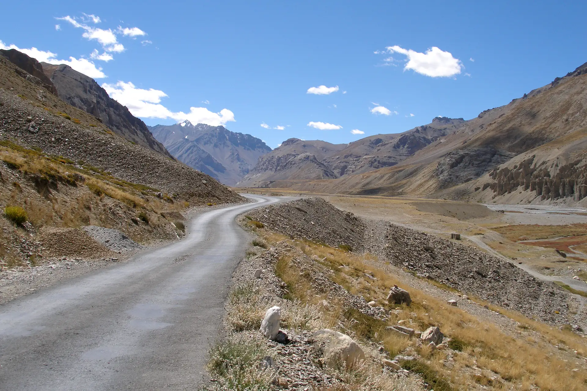
By road from Manali: the highway is about 473 km by Wikipedia, and about 425 km on our routing. It is open from June to late October and crosses Tanglang La at 5,325 m. Wikivoyage says it takes two days, with a night at Keylong or at the camps at Sarchu or Pang. Manali is about 513 km from Delhi.
By road from Srinagar: about 434 km by Wikipedia, and about 417 km on our routing. State buses stop overnight at Kargil. The road runs at a lower altitude than the Manali road, and usually opens from about June into October.
By rail: there is none. Wikipedia says two lines are proposed.
Leh is at about 3,524 m. Read how to reach Leh and keep your first day easy.
Been here?Help the next traveller — our team checks every contribution.
Questions people ask
Can you take a train from Delhi to Srinagar?
Yes, in two legs. Take a train from Delhi to Shri Mata Vaishno Devi Katra, then one of the Vande Bharat trains that have run between Katra and Srinagar since 6 June 2025. The Press Information Bureau put that run at about three hours. Timetables change, so check Indian Railways for the current trains.
How do you get from Delhi to Leh?
By air, all year, from Delhi to Kushok Bakula Rimpochee Airport, about 5 km from the centre. By road there are two highways: Leh–Manali, about 473 km by Wikipedia and open from June to late October, and Srinagar–Leh, about 434 km. Ladakh has no railway at all.
How far is Srinagar from Delhi by road?
About 798 km and 603 minutes on free-flow routing over OpenStreetMap, and traffic adds hours. Wikipedia warns that the main highway out of the valley is often blocked by ice, landslides and avalanches in winter, so the times are a minimum. Many people drive to Katra, about 642 km, and take the train.