
How to reach Srinagar — by air, rail and the Jammu highway
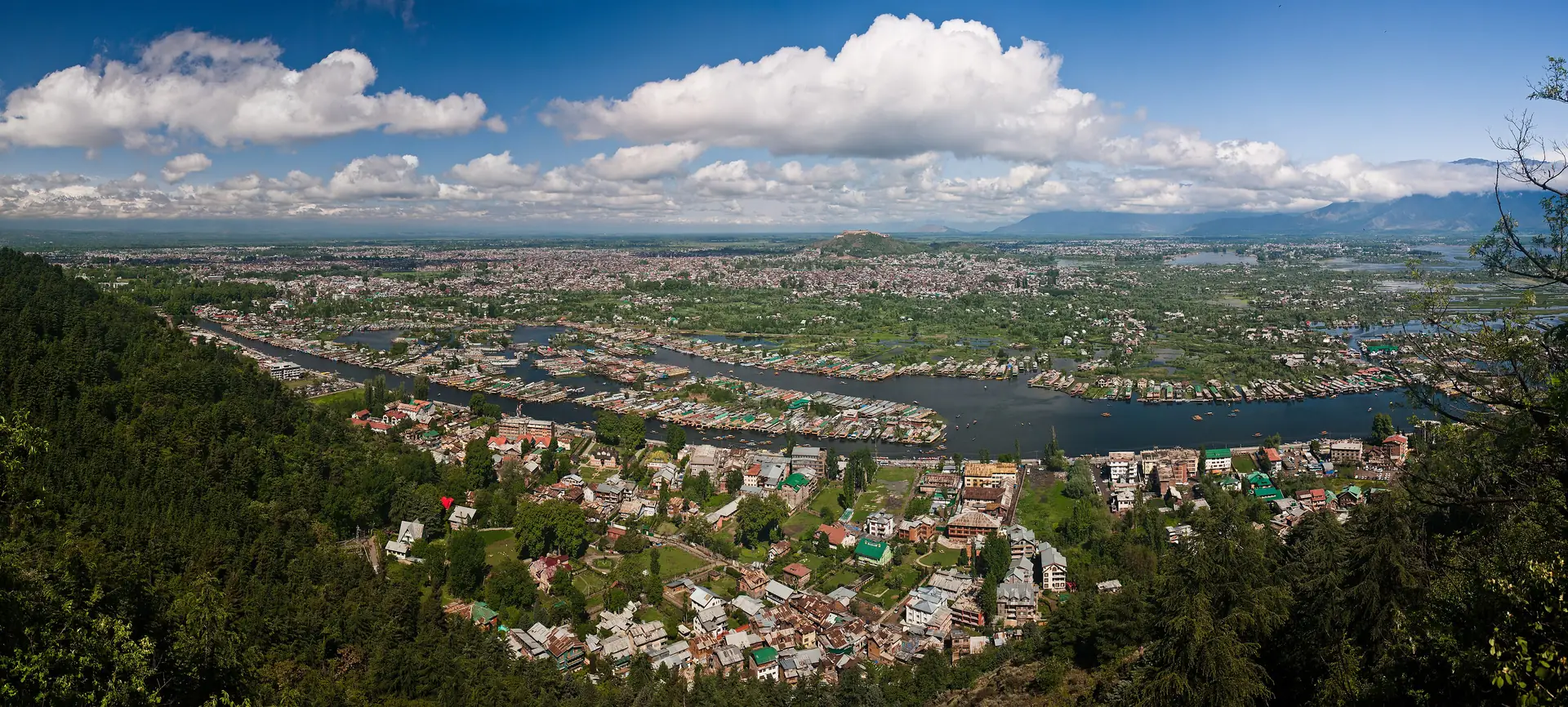
Srinagar sits at about 1,585 m in the Kashmir Valley, ringed by the Himalayas. Whichever way you come, the last stretch crosses mountains, and the weather matters more than the distance.
By air
Srinagar International Airport is at Budgam, about 12 km south of the city. The airfield belongs to the Indian Air Force; a civil section of it is operated by the national airports authority. On our routing it is about 16 minutes by road from the centre. Wikipedia says it was designated an international airport in 2005.
By train
The railway station is at Nowgam, about 8 km from the centre by Wikipedia's figure and about 9 km and 12 minutes on our routing. It is on the Jammu–Baramulla line, which links Srinagar with Baramulla, Anantnag and Qazigund, and through the Banihal tunnel with the rest of the network.
By road
From Jammu it is about 240 km and 273 minutes on our routing, from Chandigarh about 561 km and from Delhi about 798 km and 603 minutes, free-flow. Wikipedia warns that the main highway out of the valley is often blocked by ice, landslides and avalanches in winter, so these times are a minimum.
To the hill resorts
Gulmarg is about 51 km and 57 minutes from Srinagar, Pahalgam about 87 km and 84 minutes, and Sonamarg about 79 km and 95 minutes, all on our routing.
Once there
The one-day plan and two-day plan put the city in order; read things to do in Srinagar and when to visit.
Places around Srinagar
The Srinagar guide →

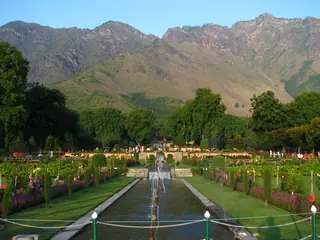
Nearby destinations
All destinations →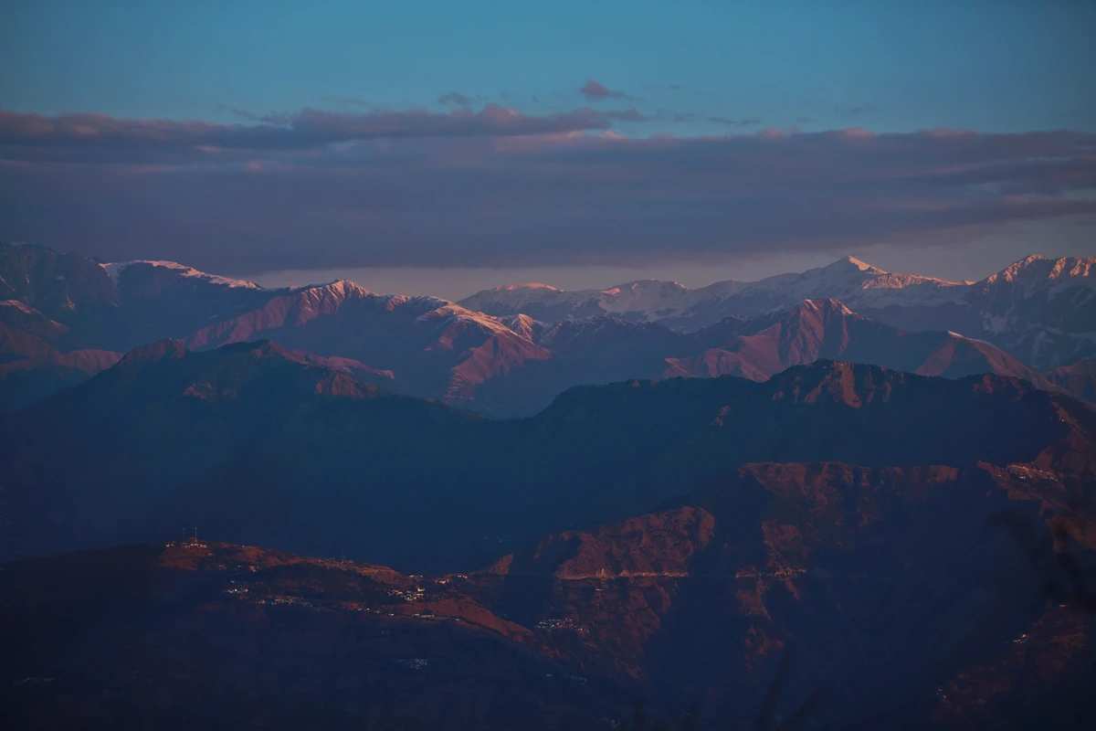
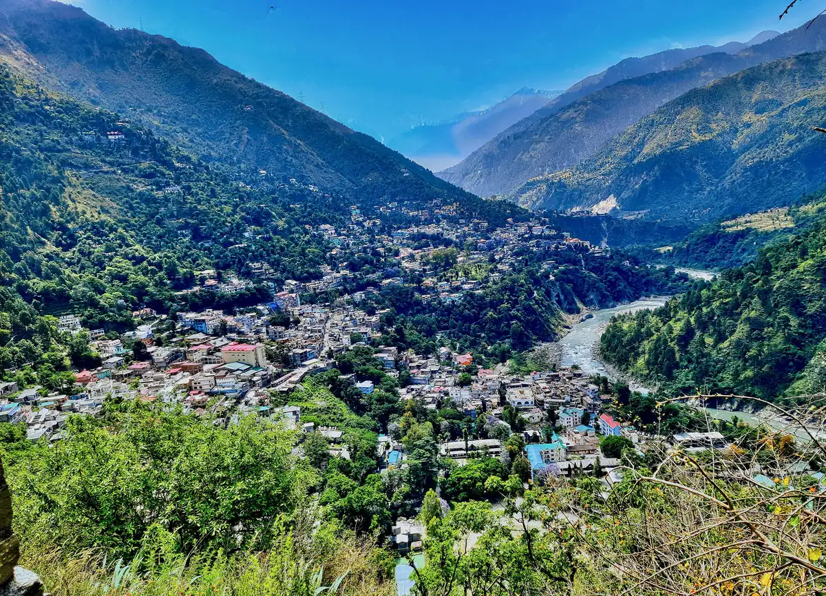
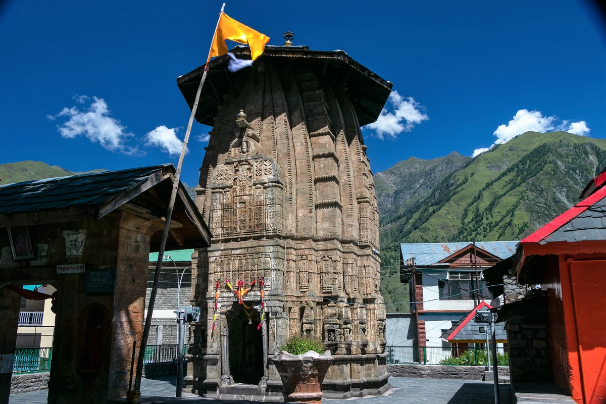
Questions people ask
What is the easiest way to reach Srinagar?
By air. Srinagar International Airport is at Budgam, about 12 km south of the city, and was designated international in 2005; the civil enclave of an Indian Air Force airfield. On our routing it is about 16 minutes by road from the centre. The road and rail routes from Jammu are longer and weather-dependent.
How far is Srinagar from Delhi and Jammu by road?
About 798 km from Delhi, and routing says free-flow 603 minutes, though Wikipedia says the main highway out of the valley is often blocked by ice, landslides and avalanches. Jammu is about 240 km and 273 minutes; Chandigarh about 561 km. Check the road each morning in winter and in the rains.
Is there a railway to Srinagar?
Yes. Srinagar station, at Nowgam about 8 km from the centre, is on the Jammu–Baramulla line, which Wikipedia says connects the city with Baramulla, Anantnag, Qazigund and, through the Banihal tunnel, onward to the national network. On our routing the station is about 9 km and 12 minutes from the centre.