
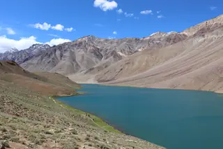
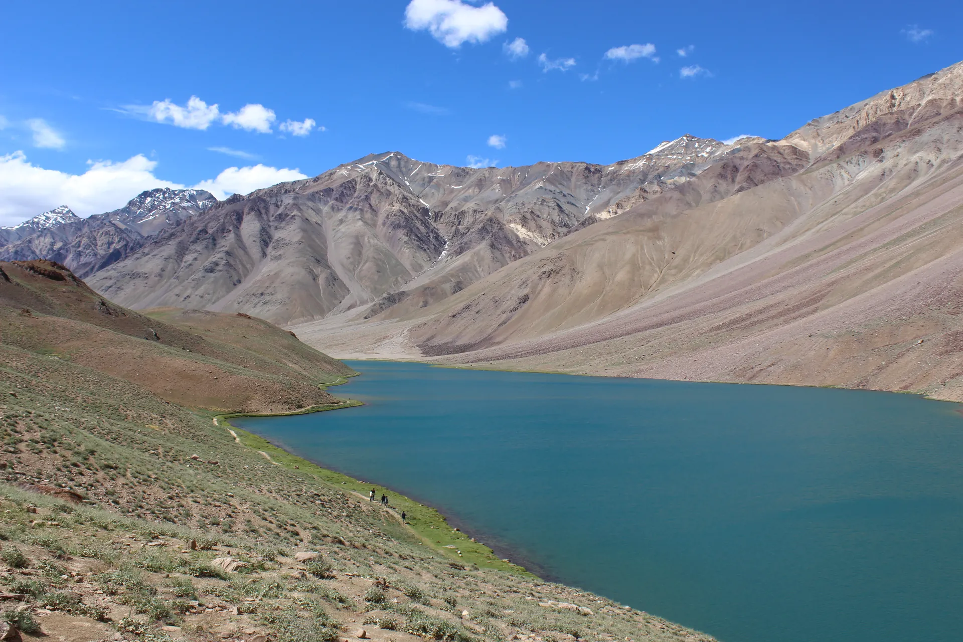
Chandratal — the moon lake below Kunzum
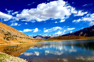
Chandratal, the moon lake, is named for its crescent shape. It lies at about 4,300 m on the Samudra Tapu plateau above the Chandra river, close to the river's source, with mountains of scree on one side and a cirque closing it on the other. People usually file it under Spiti, but it sits on the Lahaul side of Kunzum La, in the Chandra's watershed. It is a Ramsar wetland, by Wikipedia's count one of two high-altitude wetlands in India with that listing, and the Chandratal Wildlife Sanctuary surrounds it.
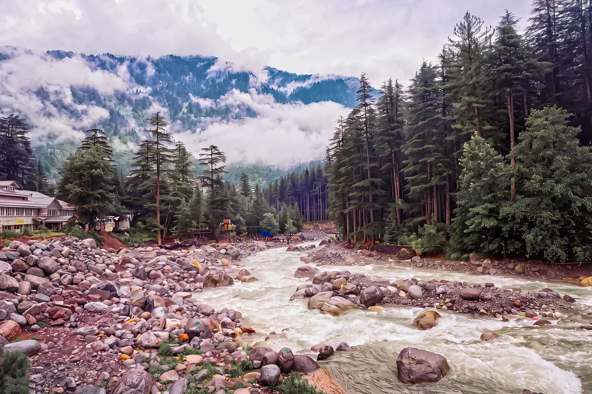
Photos: Adarsh Patel (CC BY-SA 4.0) · Adarsh Patel (CC BY-SA 4.0) · Sammandi (CC BY-SA 4.0) — via Wikimedia Commons, resized.
Getting there
The lake is reached by road from Batal, or by road and on foot from Kunzum Pass, between late May and early October. A side road leaves the highway, NH-505, about 2.9 km from Batal and 8 km from Kunzum Pass. It runs 12 km to a car park, and the final 1 km to the shore is on foot. Walkers from Kunzum Pass take about two hours; Suraj Tal is 30 km away by trail. Batal and Kunzum sit on the road between Manali and Kaza, so the lake is a detour from that crossing rather than a day trip from a town. Check that the road over Kunzum is open before you set out.
What is there
Meadows run down to the water, and in spring they fill with wild flowers. In 1871 a British official from Kullu, Harcourt, wrote of a good grass plain north of the lake where shepherds brought large herds from Kullu and Kangra; overgrazing has since worn it down. The wildlife recorded here includes snow leopard, ibex, blue sheep, red fox, golden eagle, choughs and, in summer, migrating ruddy shelduck.
Camping
We have no verified, published rule on where camping is allowed around the lake today, so we give none. Ask at Batal or Kaza what is permitted before you plan a night there.
Around it
From the Kaza side, read how to reach Kaza and things to do in Kaza. From the Lahaul side, the Keylong guide covers the valley the Chandra runs through, and Manali is where most people start the crossing. For other high lakes, see Dhankar Lake.
Places around Kaza
The Kaza guide →

Nearby destinations
All destinations →
Questions people ask
How do you reach Chandratal?
By road from Batal. A side road leaves the highway about 2.9 km from Batal and 8 km from Kunzum Pass, and runs 12 km to a car park about 1 km short of the lake; the last stretch is on foot. Walkers also come from Kunzum Pass, about two hours, or from Suraj Tal, 30 km away.
When is Chandratal open?
Wikipedia gives the access season as late May to early October, by road from Batal and by road or on foot from Kunzum Pass. Outside those months snow closes the approach. The lake is at about 4,300 m, so nights are cold even in summer; carry warm layers whenever you go.
Is Chandratal in Lahaul or Spiti?
It is usually linked with Spiti, but its water drains to the Chandra river, near that river's source in Lahaul; Kunzum La is the divide between the two valleys. The lake is a Ramsar wetland and sits inside the Chandratal Wildlife Sanctuary.