
Walks and trekking in the Tirthan valley — from the Jibhi waterfall to the park's interior
From a few minutes to a week
The Tirthan is a valley you walk in; the road ends at Bathad on the river side and at Jalori Pass on the other, and everything worth the trip beyond either is on foot. The walks sort themselves by what they ask: a few minutes to the Jibhi waterfall, half an hour to Chehni Kothi or the Chhoie fall, a morning to Raghupur, a day to Serolsar. Then the park — the Great Himalayan National Park, which no road enters and which asks for a permit, a guide and days.
Photos: Sukhjiwan Singh (CC BY-SA 4.0) · Gannu03 (CC BY-SA 4.0) · Ankitwadhwa10 (CC BY-SA 4.0) · Suresh Karia (CC BY-SA 4.0) — via Wikimedia Commons, resized.
Walks of an hour or less
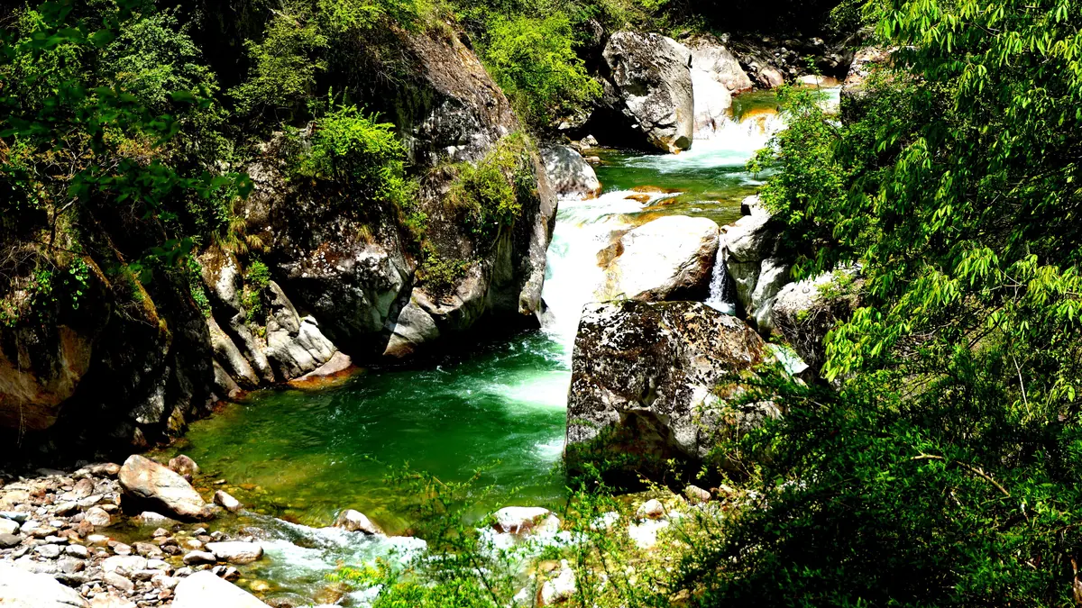
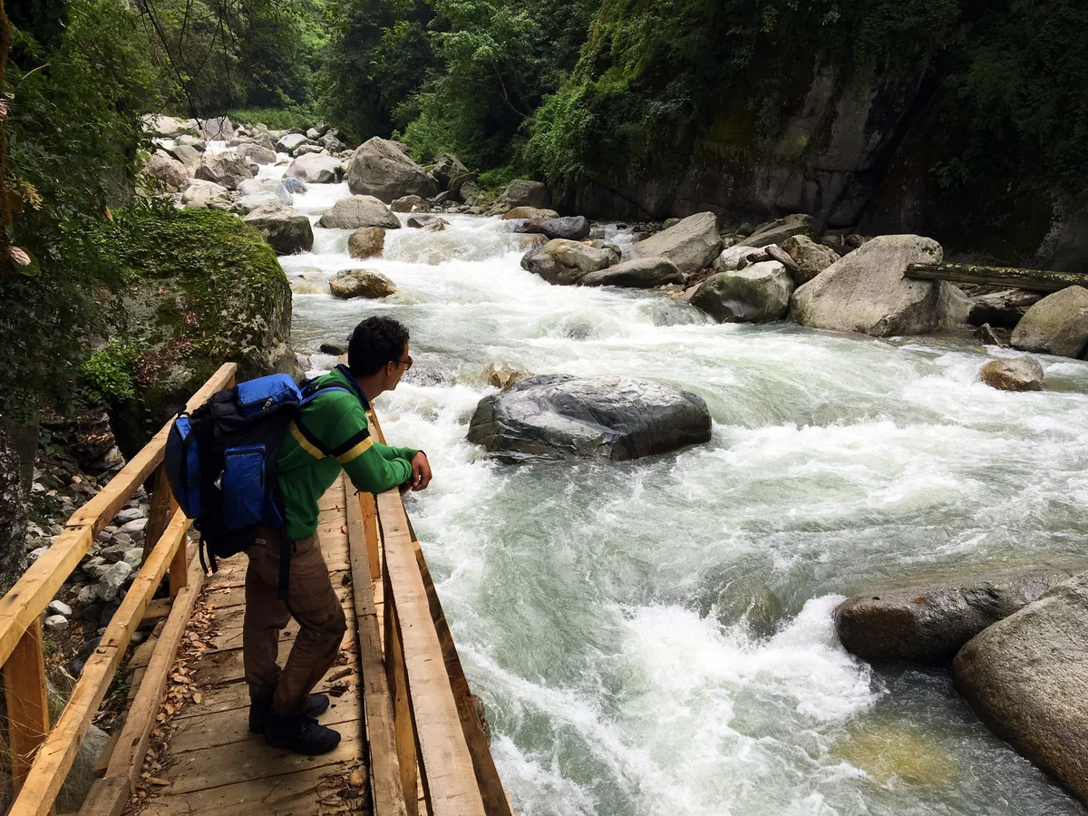
The Jibhi waterfall is the walk everyone does first: through the wooden gate by the bridge and along the bank for a few minutes to the fall and its pool. Mini Thailand, ten minutes below the village, is a gorge where the stream runs between rock walls under a footbridge. Chehni Kothi is half a kilometre up from the Shringa Rishi road above Banjar — 27 minutes by our measure, steep, on rock steps — to the valley's oldest building. The Chhoie waterfall is about half an hour above Nagini on a forest path our router could not measure. The village paths to Pekhri and Sharchi above Gushaini are steep hours, each ending in tea.
The two walks from Jalori Pass
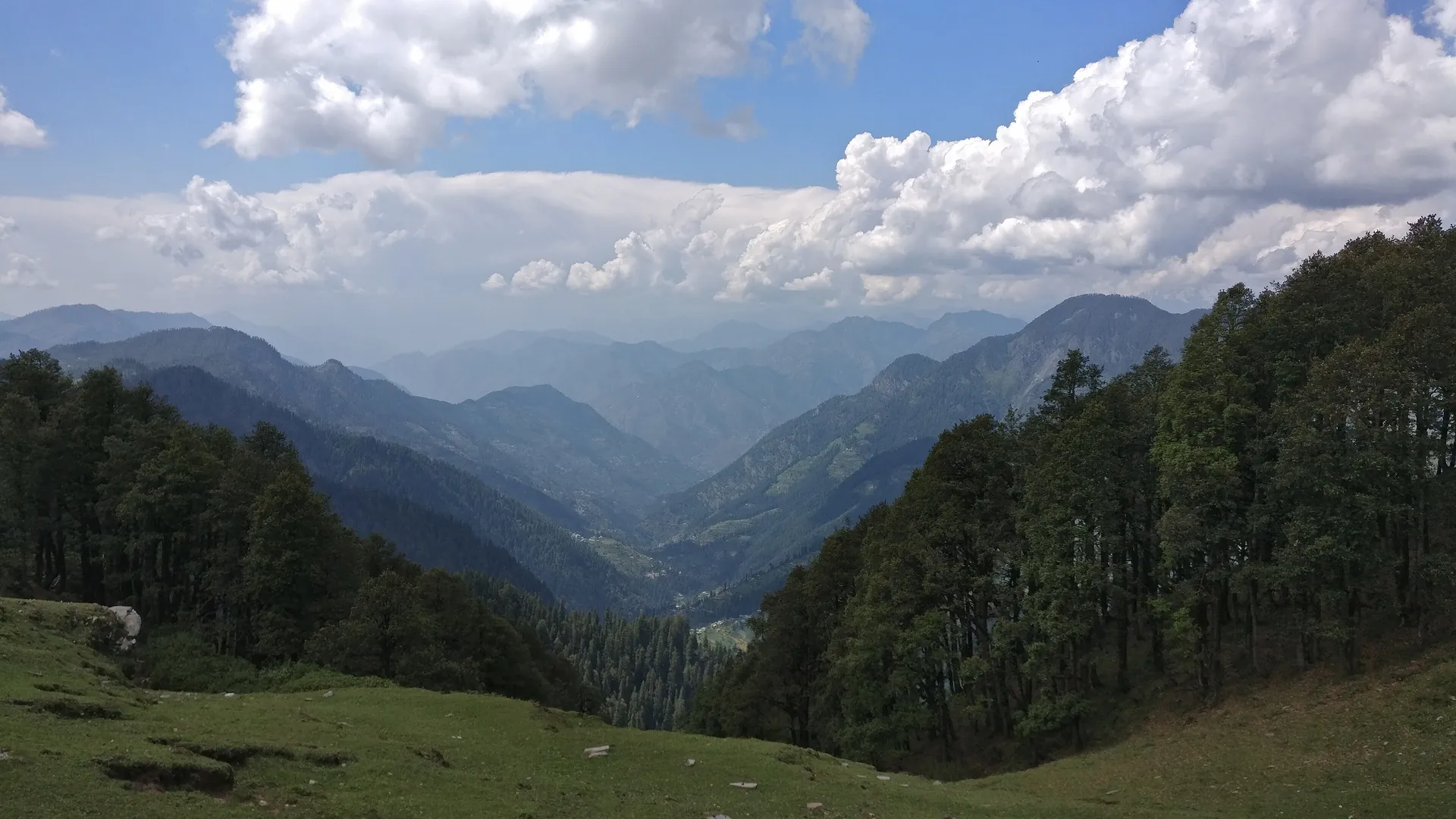
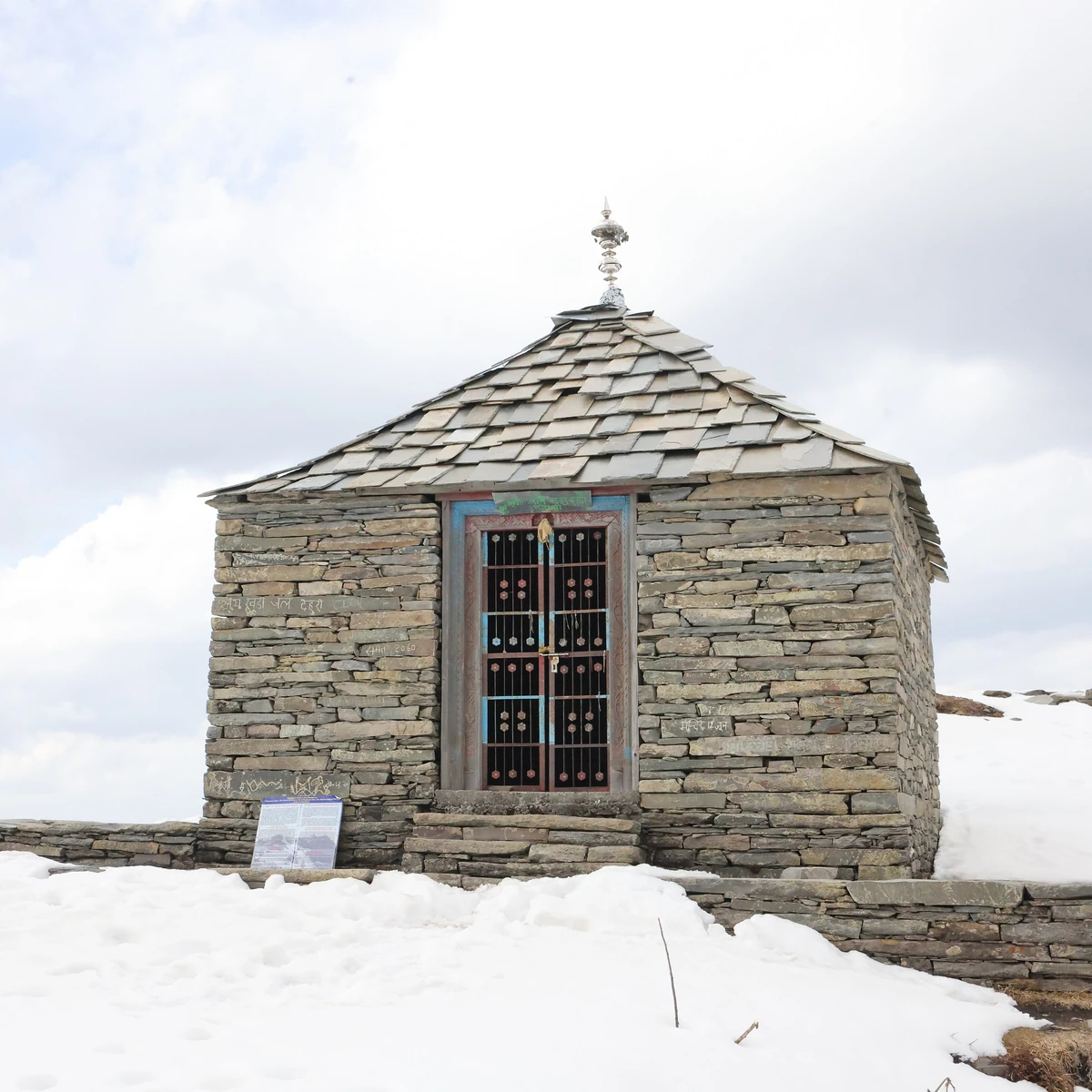
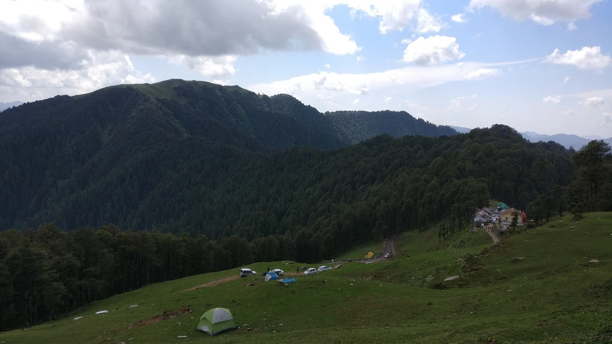
The pass, 21 km and 40 minutes above Banjar, is the trailhead for the valley's two classic walks, and they go in opposite directions. East, Serolsar lake: about 5 km along an easy ridge path through oak and fir — 103 minutes up and 71 down by our measure — to a small round lake with the Budhi Nagin temple on its bank. West, Raghupur Fort: about 1.8 km and 47 minutes up, 22 down, steep through forest and then open grass, to a ruined fort on a meadow with the valley on one side and the ranges on the other. Strong walkers do both in a day; most people give each its own morning with a night at Shoja between, which is what the friends plan does.
Neither needs a guide in clear weather. Both are exposed at the top and cold in every month; the pass road shuts in snow in spells between late December and March.
The park: the ecozone, and beyond the gate
The Great Himalayan National Park is the valley's real trek country and it is entered on its own terms. Its Tirthan-side office is at Sai Ropa, 10 minutes from Banjar, where the permit is issued — with separate charges for still and video cameras, and a fee the park fixes and changes — and where the guide and the route are agreed. Nothing motorised goes past the bridge at Gushaini.
The ecozone is the forest between the villages and the park boundary: the paths behind Sai Ropa and the river path from Gushaini towards the gate at Rolla. A day on foot from the bridge to the gate and back, with a guide, needs the permit only at the gate; the ecozone walks plan is built around it.
Beyond the gate, the park's own treks — Rolla to Shilt and the high camps above — are multi-day walks with a tent, a guide, porters and the office's approval of the route, and the park closes areas by notice for its own reasons. They are not day walks and this guide does not pretend otherwise; the office's list of treks, and its word on what is open, is where a plan for them starts. Guides typically ₹1,500–2,500 a day and porters ₹800–1,200 as of September 2026, quoted on the day.
Bashleo Pass
From the road-end at Bathad, an hour or more above Gushaini on a rough road, the old path crosses Bashleo Pass to the Kullu side of Sarahan. A two-day walk with a night out, done with a local who knows it; not in snow, not in the monsoon, and not on this page's short list.
When
March to June and September to November for everything on this page; October for the clearest skies on the pass. The monsoon closes the park's walks and makes the village paths slide; from December the pass road and the park's high paths are under snow, and only the waterfall, the tower and the villages stay walkable.
Plans that include this
All Banjar itineraries →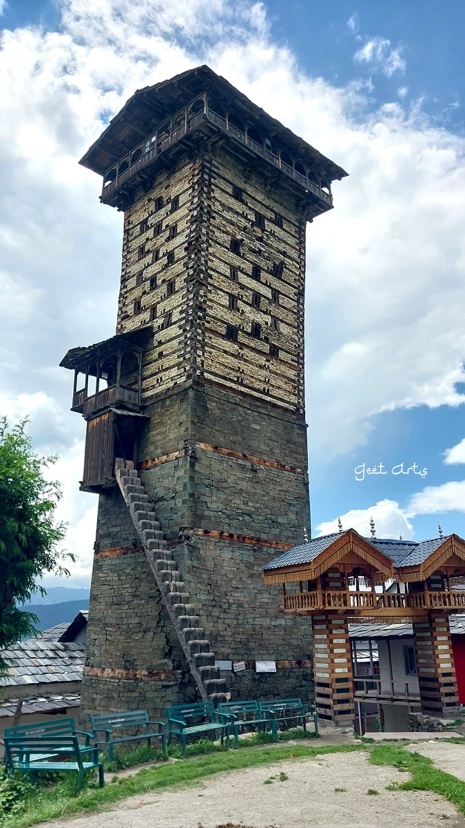 Day plan · First visitTemples & heritage
 1 night · 2 days · First visitClassic
 1 night · 2 days · First visitWalks & treks
 2 nights · 3 days · Slow travelCafés & food
 2 nights · 3 days · First visitClassic
 2 nights · 3 days · Slow travelMonsoon
Questions people ask
What are the best short walks in the Tirthan valley?
The Jibhi waterfall, a few minutes from the village bridge; the gorge at Mini Thailand, ten minutes below it; Chehni Kothi, a steep half-kilometre up from the Shringa Rishi road above Banjar. The Chhoie waterfall is about half an hour above Nagini on the river road. None needs a guide.
How long is the walk to Serolsar lake from Jalori Pass?
About 5 km each way along an easy ridge path through oak and fir — 103 minutes up and 71 down by our measure — to a small round lake with the Budhi Nagin temple on its bank. Start by nine, carry water, and expect the pass to be cold in every month; a taxi from Banjar waits at the top.
Do you need a permit to trek in the Great Himalayan National Park?
Yes, for the park itself: an entry permit from the range office at Sai Ropa on the Tirthan side, with separate charges for cameras and a fee the park fixes and changes, plus a guide and an approved route for anything past the gate. The ecozone paths around Sai Ropa and Gushaini need none.
Which Tirthan treks need a guide?
Everything inside the park — Rolla, Shilt and the high camps beyond — where the office requires a guide and an approved route; and, by good sense, the Bashleo crossing from Bathad to the Kullu side of Sarahan. The Jalori walks, the village paths and the waterfalls are ordinary walks in clear weather.