



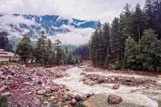
Manali in the monsoon — what July and August are really like, and who they suit
Manali in July and August: 201.5 mm and 217 mm of rain, slides that close the high roads, cloud on the meadows — and a green, empty, cheap valley.
Checked on
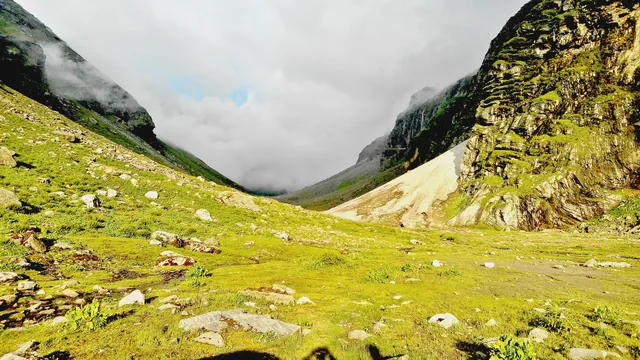
Few walks change the view as sharply as this one. You climb out of the green of the Kullu valley near Manali, cross a high pass, and walk down into the bare rock and stone of Lahaul. Stand on top and you have both worlds, one behind you and one ahead.
Most plans drive from Manali to Jobri, near Sethan, and start walking there. The usual line runs by Chhika and Balu ka Ghera on the Kullu side, over the pass at 4,270 m, and down to the camp at Shea Goru. From there it drops to Chhatru on the Chandra, where a road and a bridge wait. Our trek page gives about 26 km for the whole walk. Some groups go on by jeep to Chandratal.
The pass takes its name from Hampta village, below Sethan. Spellings differ, and you will often see Hamta.
Photos: Kunalsvnit (CC BY-SA 4.0) · Gerd Eichmann (CC BY 4.0) · Consequoia (CC BY-SA 4.0) · Gerd Eichmann (CC BY-SA 4.0) — via Wikimedia Commons, resized.
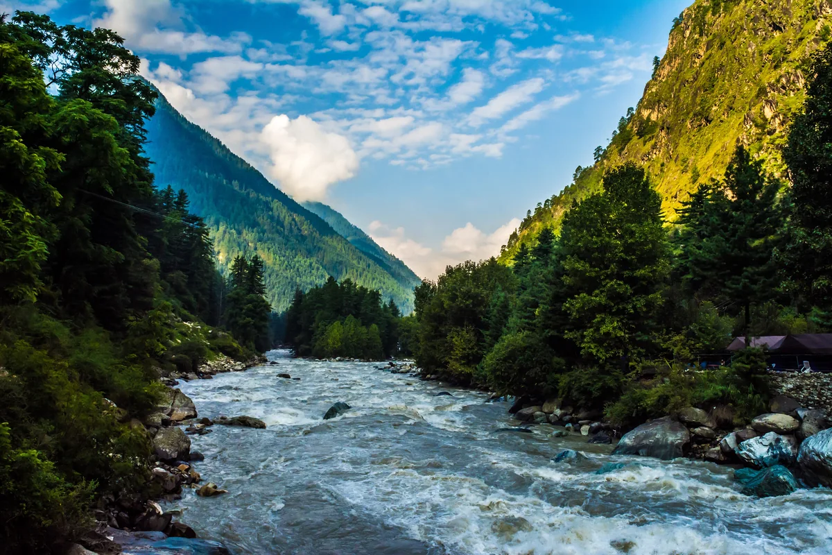
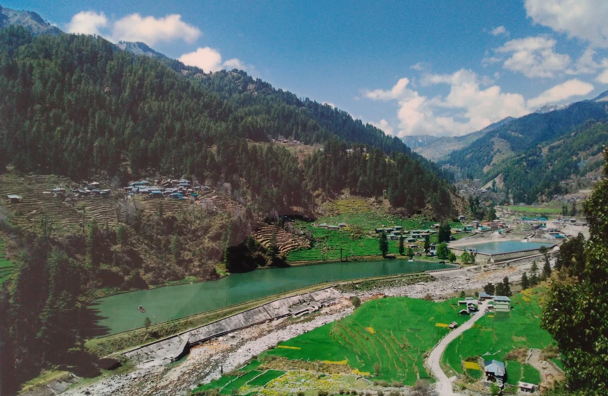
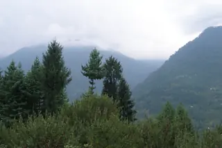
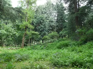
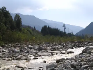
On the Kullu side the walk goes through forest, meadow and streams, and wildflowers grow between about 3,000 m and 3,800 m. Over the top, the land on the Lahaul side is dry and stony, with boulders the size of houses near Chhatru. The ridge between them holds back much of the rain, which is why the two sides look like different countries.
July to September is the usual season, and it changes with the snow. Wikipedia calls the route challenging but doable for some beginners, and the glaciers and fast streams on it are the reason to go with a guide. Nothing on the route is permanent: you sleep in tents and carry food, or an operator does it for you.
For the rest of the valley, see things to do in Manali and the best time to visit Manali. On the far side, read about Sissu and the Atal Tunnel, or Chandratal for the lake many groups add. Treks in Himachal by length compares this walk with the others.
 Manali to Sissu — the day trip through the Atal TunnelDay plan, ready to copy and change
Reels from these places: follow @himlocal.in on Instagram
Local businesses that list on HimLocal, nearest first. We don’t rank or review them — each page has their own details.
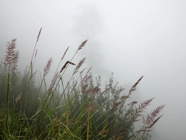
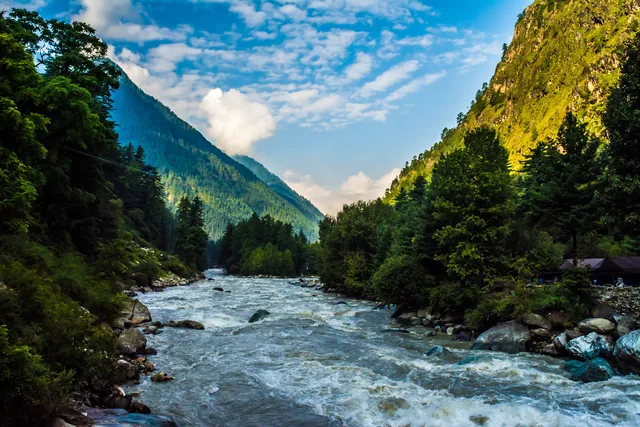
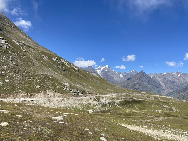
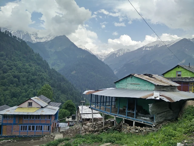
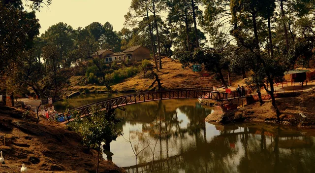
About 4,270 m, by Wikipedia's figure. The pass sits between the Kullu valley and the Chandra valley in Lahaul, in Himachal Pradesh, and its name comes from Hampta village below Sethan. Peaks of about 6,000 m stand around it, among them Deo Tibba and Indrasan. The spelling Hamta is common too.
Three to four days on foot, depending on the plan, says Wikipedia, and most plans drive from Manali to the start. Camps usually fall at Chhika, Balu ka Ghera and Shea Goru, and the walk ends at Chhatru on the Chandra. There is no permanent shelter above the road, so you camp all the way.
July to September is the usual season, when the snow has cleared from the pass and the operators run departures. The dates shift with the snow each year, so confirm them with an operator before you plan. We found no official opening date for the trek, and this page gives none.
Go with one. Wikipedia calls the route challenging though doable for some beginners, with glaciers and fast rivers on the way. Streams can rise fast, the weather can turn, and there is nowhere to shelter on the route. The operators who run it carry the tents and the food.