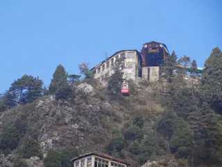
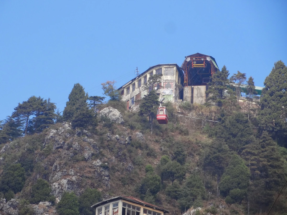
Gun Hill, Mussoorie
viewpoint · 2.7 km away
Landour is the small cantonment town on the ridge above Mussoorie, about 300 m higher by Wikipedia's account and counted as part of greater Mussoorie. A sanatorium for British soldiers was built here in 1827, and much of the town is still a cantonment. Its name is taken from Llanddowror, a village in Wales. Because a 1924 act banned new private building in the cantonment, Landour has far fewer modern houses than the resort below.
Photos: Paul Hamilton (CC BY-SA 2.0) · Paul Hamilton (CC BY-SA 2.0) · SMarndi (CC BY-SA 4.0) — via Wikimedia Commons, resized.
It is about 3.6 km and 9 minutes by road from the centre of Mussoorie, and many people walk up the ridge through Landour Bazaar instead. We have no verified rules on vehicles or visitors in the cantonment, so ask at your hotel before you drive in.
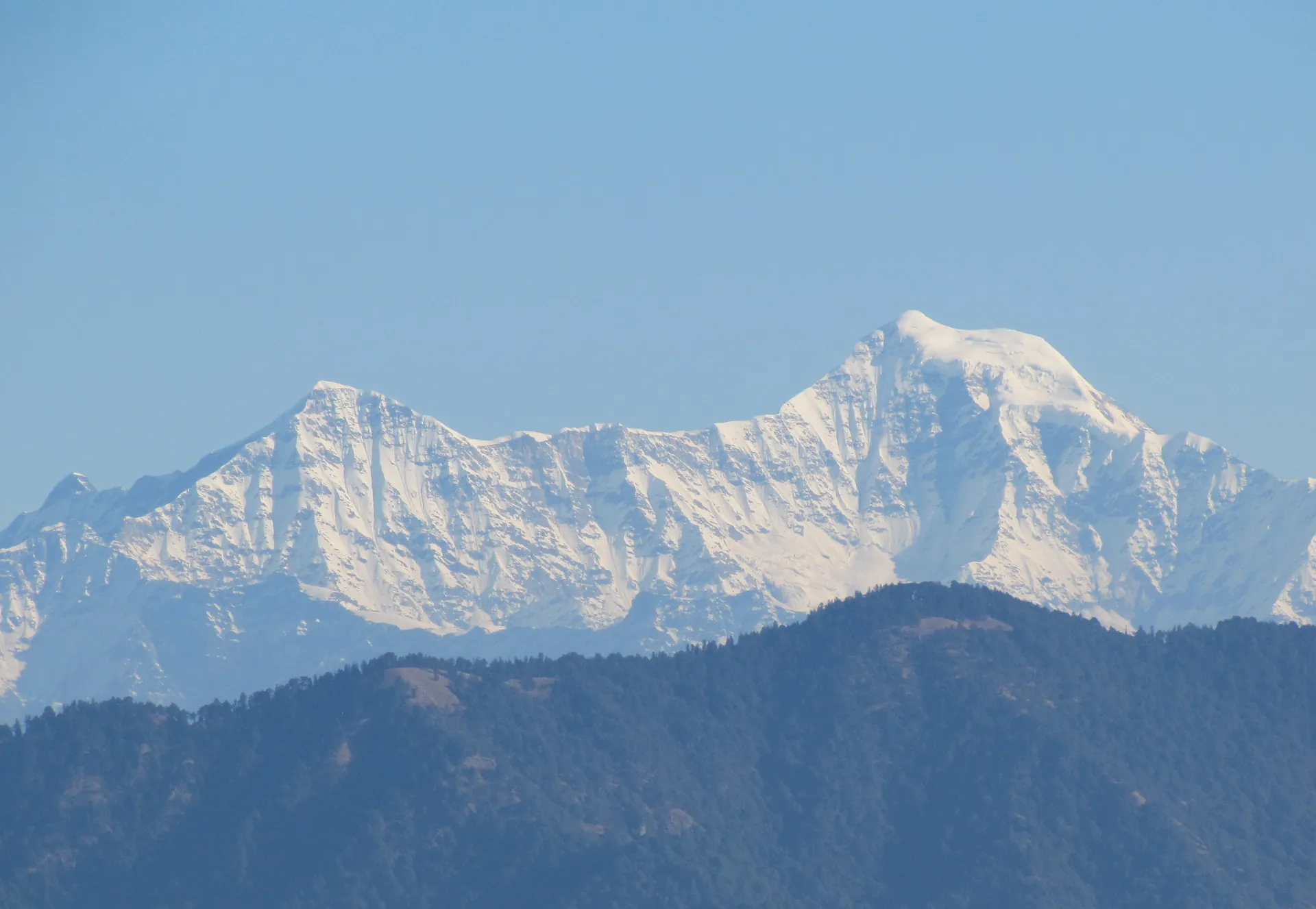
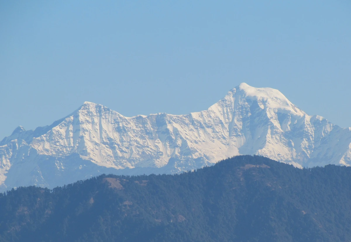
The walk is the visit. Landour Bazaar runs along the spur that joins the two towns. Char Dukan, where St. Paul's Church stands, is the usual pause on the ridge, and the road beyond runs through deodar and oak forest to Lal Tibba, the viewpoint. On a clear day, Wikipedia says, the view can reach 200 km, with the Garhwal peaks running from Swargarohini and Bandarpunch to Kedarnath and Chaukhamba. In winter Wikipedia says it can snow anywhere from three to fifteen times, and that Landour gets perhaps twice the snow Mussoorie does.
St. Paul's Church, built in 1839 and opened for worship in May 1840 under Bishop Daniel Wilson, is the main old building on the ridge, and its yellow walls stand out among the trees. The Landour Community Cookbook, first printed formally in 1938, comes from the same community, and a few Landour bakers still make recipes from it.
The author Ruskin Bond, Landour's best-known resident, lives in the town. This is a neighbourhood where people live, so keep your voice down and do not go looking for anyone's house.
October to February is dry and clear, and December to February can bring snow. April and May are warm before the rains. See when to visit Mussoorie.
Gun Hill and Happy Valley are on the Mussoorie side, and Sir George Everest's House and Kempty Falls are the two longer drives. The one-day plan ends the day on the ridge here; the two-day plan gives it a morning.
Landour is a small cantonment town on the ridge above Mussoorie, about 300 m higher, and Wikipedia counts it as part of greater Mussoorie. Mussoorie is the crowded resort around the Mall Road. Landour is quieter, with old houses, old forest and little new building because of a cantonment law of 1924.
On a clear day, Wikipedia says, a wide view of the Garhwal Himalaya of up to 200 km, naming Swargarohini, Bandarpunch, Yamunotri, Gangotri, Kedarnath and Chaukhamba among the massifs. Lal Tibba, the hill with the orange-and-white broadcast tower, is the usual viewpoint.
About 3.6 km and 9 minutes by road from the centre of Mussoorie on our routing, though many people walk up through the bazaar. Landour Bazaar stretches along the spur that joins the two towns, so the walk follows the shops and the road.