
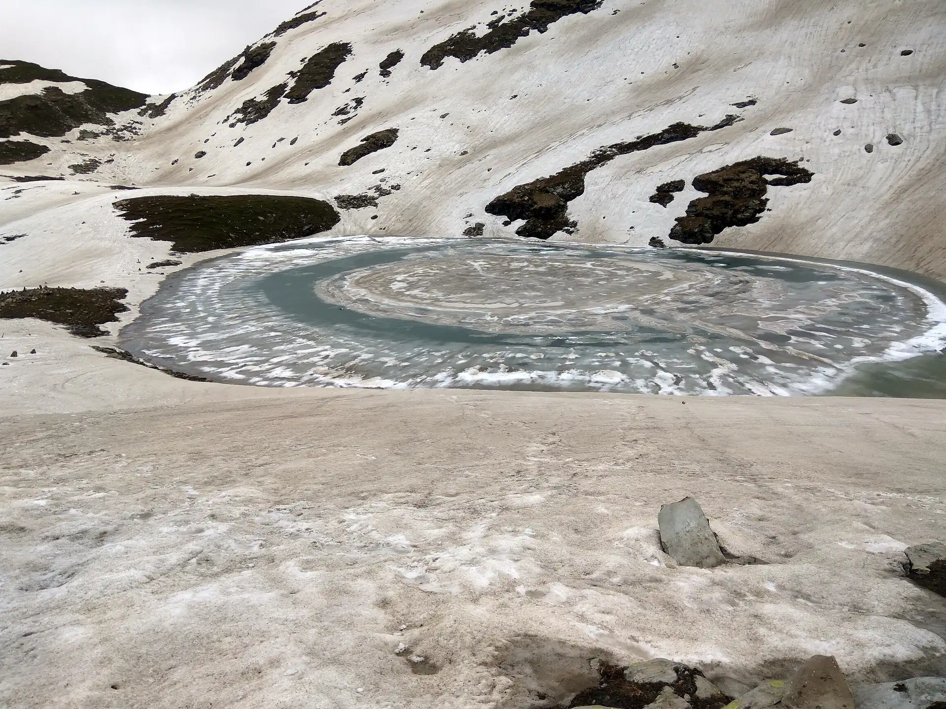
Bhrigu Lake
What it is
A small glacial lake in a bowl on the ridge east of the Rohtang road, at 4,235 m, named for the sage Bhrigu who is said to have meditated beside it. It is above the treeline and above the meadows, in country that is snow for half the year, and it is reached only on foot — a two-to-three-day trek from Gulaba on the Rohtang road. From the ridge above it the view runs across to the Pir Panjal and down to the valley you came from.
Photos: Vishalwiki2606 (CC BY-SA 4.0) · Biswarup Ganguly (CC BY 3.0) — via Wikimedia Commons, resized.
Getting there
The road head is Gulaba, about 35 min from Manali on the Rohtang road. From there the route climbs through forest to the meadows above the treeline, where groups camp, and on the second morning across open ground to the lake. Return is the same way. Some groups walk in from Vashisht instead, a longer first day. This page is the outline; the trek page has the route and the road head in detail.
When to go
Late May to mid-October. Early June has snow on the route and a half-frozen lake; July and August are green, flowered and wet; September and early October are clear and cold, and the best. Outside that window the ridge is under snow.
What you need
Camping gear, food and a guide, which for most people means going with a trekking outfit from Manali: they run it as a fixed departure through the season, with tents and meals included, and quote by the day. Ask what is included and how big the group is. Warm layers for the night, rain gear in July and August, sun protection always; the meadows have no shade.
Around it
Rohtang Pass is the same road, higher; Gulaba is where the checkpost and the meadows are. Beas Kund is the other classic short trek from Manali, at the opposite end of the valley, and Hampta Pass is the longer crossing into Lahaul. Our treks page lists them with seasons and road heads.
Plans that include this
All 2 plans that stop here →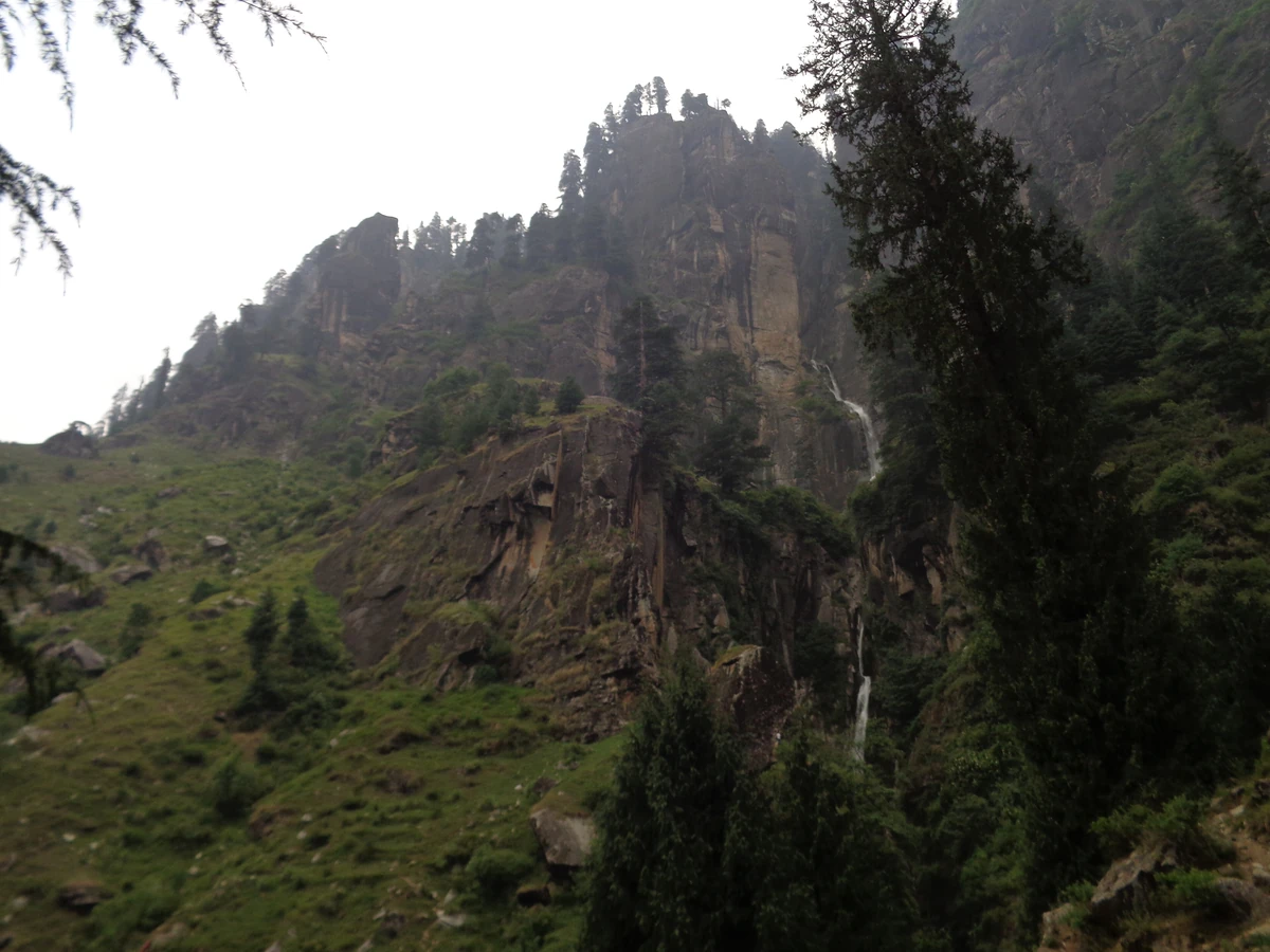 1 night · 2 days · Slow travelWaterfalls
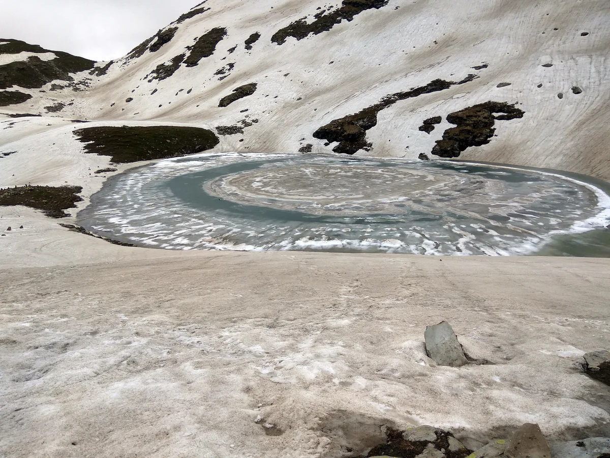 3 nights · 4 days · TrekkersWalks & treks
Questions people ask
How high is Bhrigu Lake?
About 4,235 m on the figure in its Wikipedia infobox, on the ridge east of the Rohtang road and above Gulaba. That is high enough that altitude matters: the trek gains a lot of height quickly, and the standard plans put a night at the meadows on the way up rather than going straight to the lake and back.
How long is the Bhrigu Lake trek?
Two to three days from the road head at Gulaba, about 35 min from Manali by car. Most groups camp one night at the meadows above the treeline and reach the lake the next morning, then return the same way. Strong walkers do it in two days; three is kinder for the altitude. It is not a day walk.
When can you trek to Bhrigu Lake?
Late May to mid-October, roughly. Snow lies on the route into June, which is when the lake is still half frozen and the meadows are bare; July and August are green and wet; September and early October are the clearest and coldest. Outside that window the ridge is under snow and it is a different kind of outing altogether.
Do you need a guide for Bhrigu Lake?
For most people, yes — for the camping, the route across the meadows in cloud, and the altitude. Trekking outfits in Manali run it as a fixed departure through the season with camping and food included; ask at the outfits in Old Manali and on the Mall and compare what is included. Our treks pages list the ones we know.