

The best time to visit Nahan
Nahan month by month from its own IMD normals: hot dry April to June, a very wet July and August, and the mild clear stretches either side that suit it best.
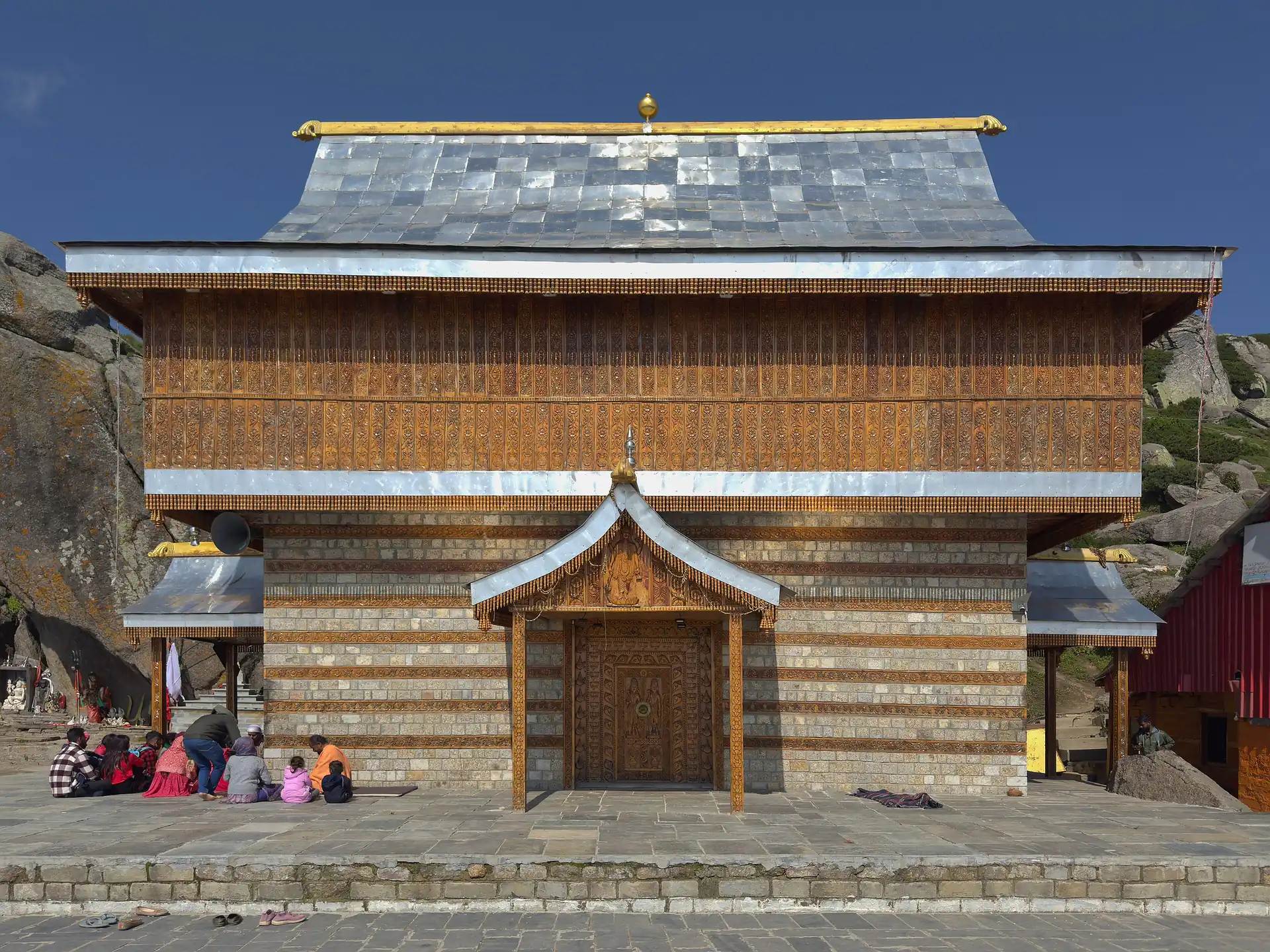
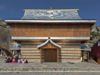
Churdhar is the high, rocky summit at 3,647 m that rises above the hills of Sirmaur, the district of Nahan. Wikipedia calls it the highest peak in Sirmaur and the highest in the outer Himalaya. It is a holy mountain: the seat of Shirgul Maharaj, also called Chureshwar Maharaj, the god of the people of Sirmaur and Chaupal, and honoured as far as Shimla, Solan and Dehradun. On the summit stands his temple, which the district's own page describes as a deodar-roofed, single-storey square temple with a lingam, of Shiva as Chooreshwar Mahadev. Pilgrims gather here for the Navratras fair.
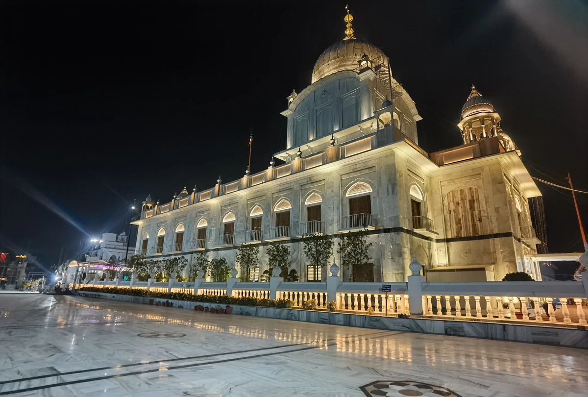
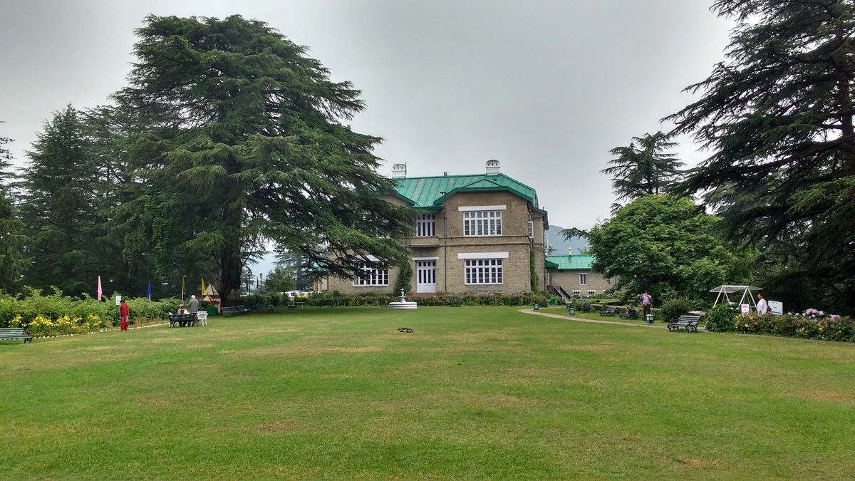
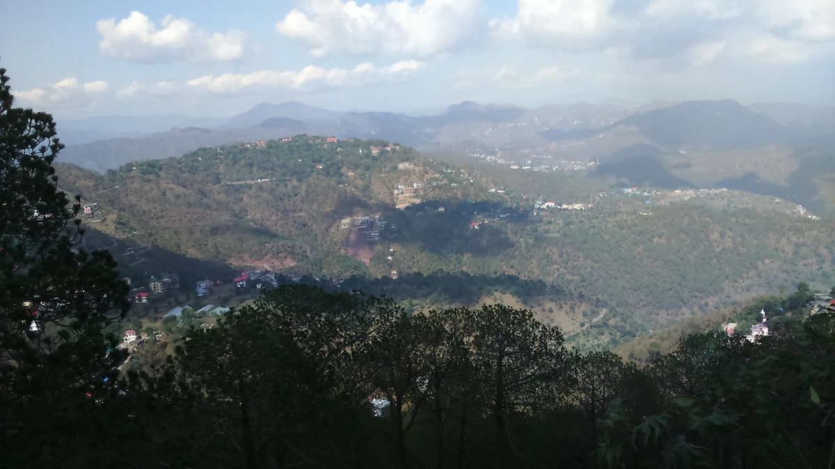
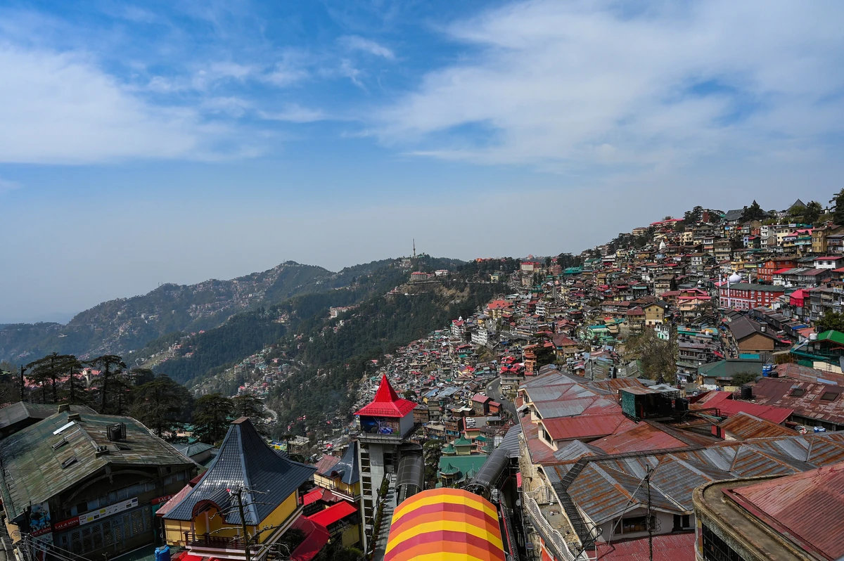
Photos: KUMAR2912 (CC BY-SA 4.0) · Ashish Gupta from Noida, India (CC BY 2.0) · Hariom5463 (CC BY-SA 3.0) — via Wikimedia Commons, resized.
The mountain has a place in the mapping of India. In the book The Great Arc, John Keay calls it the Chur, and Wikipedia notes that George Everest, then Surveyor General, took many astronomical readings and sightings of the Himalaya from this peak around 1834.
The slopes around the summit are the Churdhar Sanctuary, about 56 km², notified on 15 November
leopard. A local body, the Chureshwar Sewa Samiti, looks after it.
Wikipedia gives two main routes to the top. The longer is about 18 km on foot from Nohradhar, on the Sirmaur side. The shorter is about 8 km from Sarain, near Chopal in Shimla district, which the district's page names as the start of the trek; from Chopal, buses and taxis go on to Sarain. We have no measured walking times on either path and no verified rule for permits or camping, so ask at the road-head before you start, and go with someone who knows the route.
Getting to the road-head. Nohradhar is about 112 km and 253 min by road from Nahan on our measured routing, and a similar distance from Shimla, about 232 min. For Chopal and Sarain, the district's page gives the road from Shimla by Theog. Either way it is a day's drive, so plan a night near the road-head before the walk.
The district's page says the summit takes moderate to heavy snow, on average 33 ft, and that the temple is buried under it. That rules out winter for anyone but the experienced. Go in the snow-free months, and ask at Nohradhar or Chopal about the state of the path that week.
If you are in Sirmaur for a shorter trip, the Nahan guide has the town, the Shivalik Fossil Park and Rani Tal; see things to do in Nahan and how to reach Nahan.
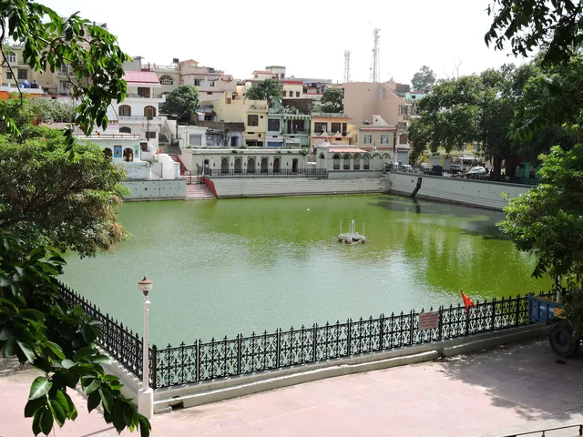
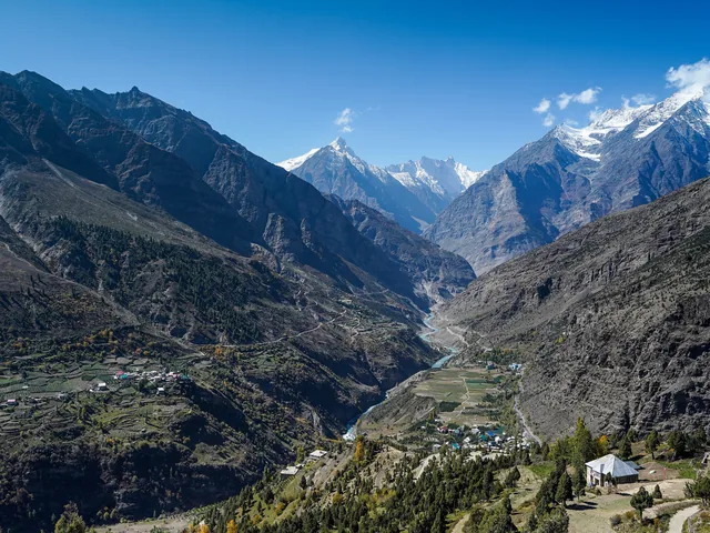
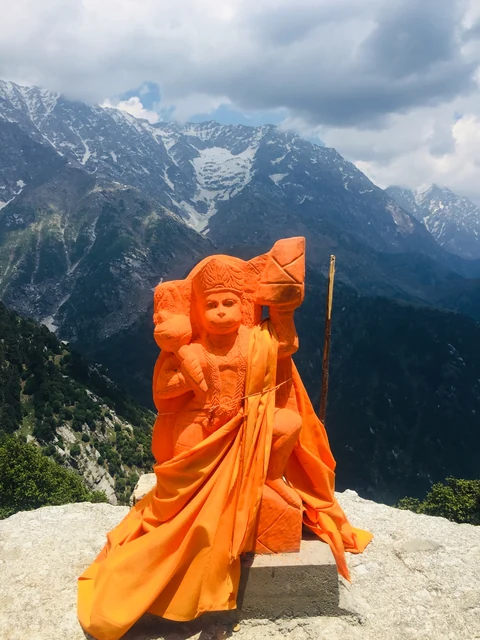
About 3,647 m, or 11,965 ft, according to Wikipedia and the Sirmaur district's own page. It is the highest peak in Sirmaur district and the highest in the outer Himalaya, and from the rocks at the top the ridges fall away towards the snow peaks on the horizon.
Wikipedia gives two main routes: about 18 km on foot from Nohradhar in Sirmaur, and about 8 km from Sarain near Chopal in Shimla district, which the district page names as the start of the trek. Nohradhar is about 112 km and 253 min by road from Nahan. We give no walking times.
Not as a normal walk. The district's page says the summit takes moderate to heavy snow, on average 33 ft, and that the temple is buried under it. Go in the snow-free months, ask at Nohradhar or Chopal about the path, and go with someone who knows the route.