Roopkund's skeletons — the DNA says they did not die together
The Roopkund skeletons were long blamed on one hailstorm. DNA from 38 of them, read in 2019, found three groups who died about 1,000 years apart.
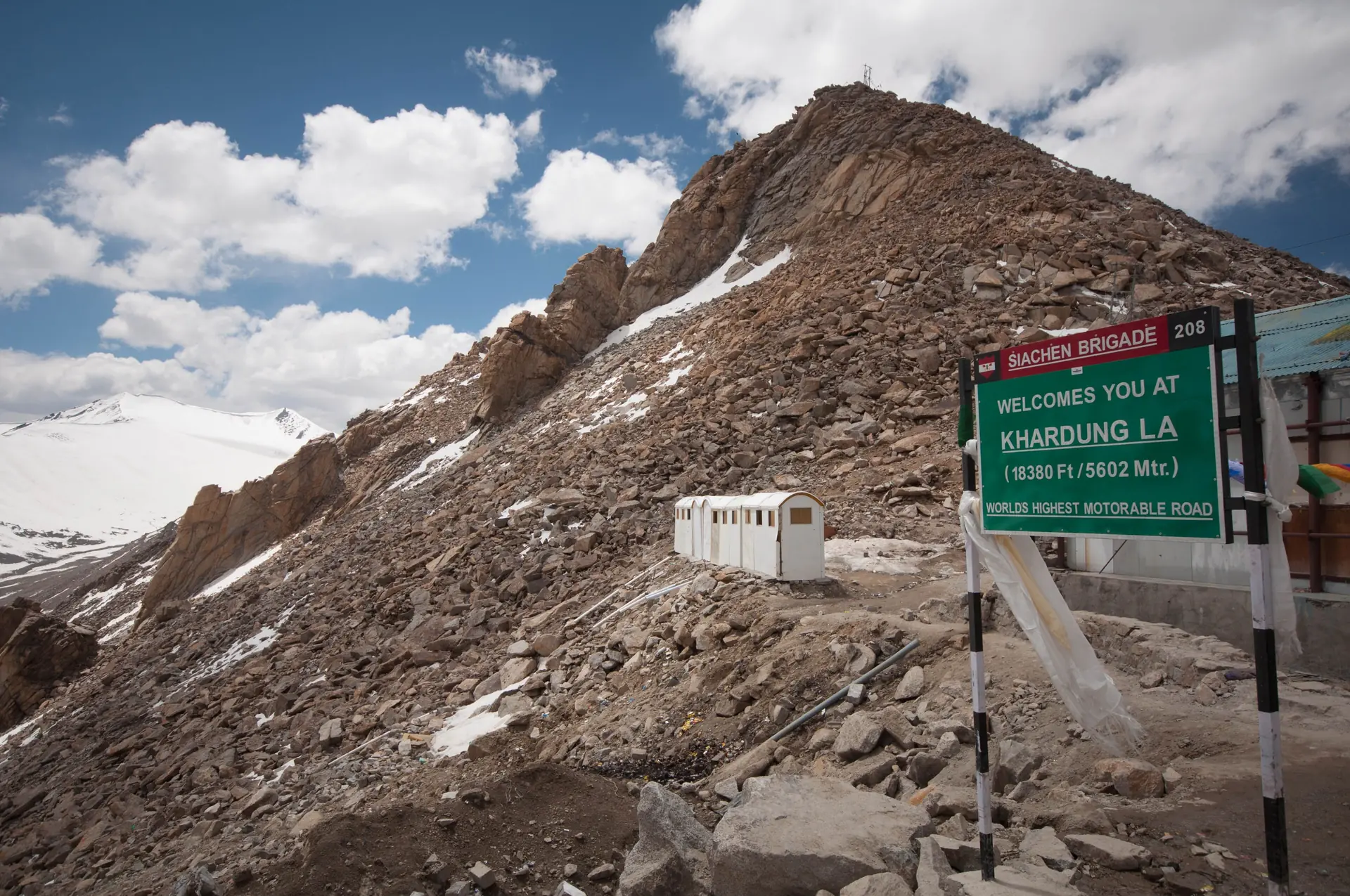
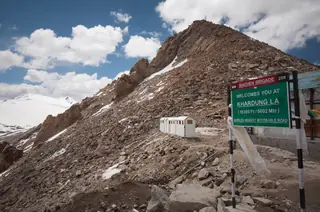
At the top of Khardung La, above Leh in Ladakh, stand two boards that travellers photograph themselves with. The green one says 18,380 ft. The yellow board of the Border Roads Organisation repeats the number and adds a title: highest motorable road in the world. Both claims are wrong today, and the first one never was right.
Wikipedia gives the pass as 5,359 m, or 17,582 ft. That height is not one person's reading. It comes from hundreds of GPS surveys, and it agrees with the SRTM and ASTER elevation models and with Russian topographic maps. The summit signs, and dozens of shops selling shirts in Leh, give about 5,602 m (18,379 ft) instead. No survey we can find supports that figure.
So the pass is high, very high, but the number on the board is not its height. When you stand there, the honest figure is 17,582 ft.
Photos: Avikdutta90 (CC BY-SA 4.0) · Amit.bothate (CC BY-SA 4.0) · Avantika1988 (CC BY-SA 4.0) — via Wikimedia Commons, resized.
The yellow board's second claim is also gone. Two roads in Ladakh now climb above Khardung La:
Both passes sit close to the Line of Actual Control, and this article gives no route or visiting advice for them.
The road over the pass runs from Leh to the Nubra Valley and on towards the Siachen Glacier. The Border Roads Organisation built it in 1976, on a line that was once a caravan route from Leh towards Kashgar in Central Asia. Wikipedia puts the pass 40 km by road from Leh, and a daily bus to Nubra goes over it.
Two rules from the same source matter before you go. Every visitor from outside Ladakh needs an Inner Line Permit and must pay the Ladakh Environment Fee, with copies shown at the South Pullu and North Pullu checkposts. And since 2022 a stay of at least two days in Leh is required before crossing, to get used to the height. Rules change, so confirm both with the Leh district administration.
Our Leh guide covers the monasteries and palaces of the Indus valley, with things to do in Leh, the best time to visit and how to reach Leh. For another high road with a record of its own, read about the Atal Tunnel. Higher still, the villages of Spiti have their own claims to check: see Hikkim, Komic and Langza.

About 5,359 m, which is 17,582 ft. That figure comes from hundreds of GPS surveys, and it matches the SRTM and ASTER elevation data and Russian topographic maps, as Wikipedia reports. The signs at the top and many shirts sold in Leh give about 5,602 m (18,379 ft) instead, which no survey supports.
No. The board at the top still says so, but other Ladakh roads go higher. The road over Umling La, at 19,024 ft (5,799 m), held the title from 2017 to 2025. The Border Roads Organisation then completed a road over Mig La, which it puts at 19,400 ft (5,913 m).
Wikipedia gives 40 km by road, north of Leh, on the road to the Nubra Valley and Siachen that the Border Roads Organisation built in 1976. A daily bus to Nubra crosses the pass. Every outside visitor needs an Inner Line Permit, so check the current rules with the Leh district administration before you go.
Nobody we can cite explains it. What the sources say is plain: the measurements agree with one another, and the signs and souvenir shirts disagree with all of them. We have not found an official correction, so this article gives both numbers and says which one is measured.