
Naddi
Checked on
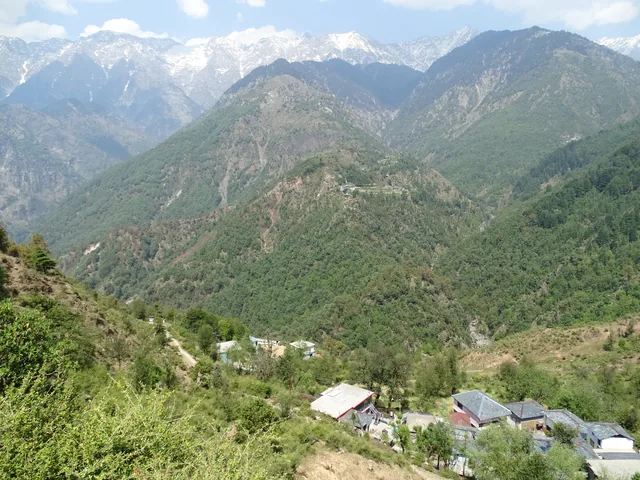
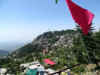
A village above McLeod Ganj, higher up the ridge at around 2,000 m, known chiefly for its open viewpoint over the Kangra valley and the Dhauladhar range. It sits in the upper reaches of the valley that the Central Tibetan Administration settled into after moving to Dharamshala in 1960, not far from the Dalai Lama's temple below.
Photos: BibhasCD (CC BY-SA 4.0) · Bernard Gagnon (CC BY-SA 4.0) — via Wikimedia Commons, resized.
Getting there
About 3 km up from McLeod Ganj, on a steadily climbing road. Taxis run the route, and it is close enough that some visitors walk it, though the climb is real.
The visit
The village itself is small; the viewpoint at its edge is the reason to come. From here the Kangra valley spreads out below, with the Dhauladhar range rising directly behind — a wider vista than the closer, more wooded views from McLeod Ganj. Most of the village's people are Gaddi, and the slopes around it are pine, Himalayan oak and rhododendron. Cafés near the viewpoint make it easy to sit with the view rather than rush it.
When to go
March to June and September to November for the clearest views. Winter brings cold, clear mornings and occasional snow; the monsoon can close the view in cloud for days at a time.
Around it
Dal Lake sits a little further along the same ridge road. McLeod Ganj is a short drive back down, and the heritage two-day plan and slow four-day plan both stop here.
Going to Dharamshala?
 Two days of temples and heritage around Dharamshala — no trekking1 night · 2 days, ready to copy and change
- Stays in DharamshalaCompare live prices
- See it on the map
- Send this on WhatsApp
Reels from these places: follow @himlocal.in on Instagram
Run a café, a stay or a trek company near Naddi? List it on HimLocal →


Plans that include this
All 2 plans that stop here →

Nearby places
All of Dharamshala →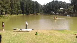
Nearby destinations
All destinations →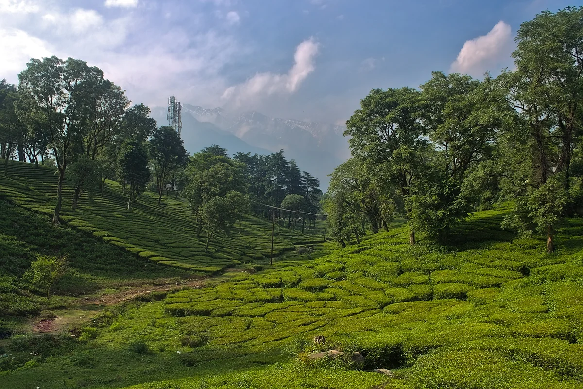
Questions people ask
What makes Naddi worth the drive?
The viewpoint at the edge of the village, which opens onto the Kangra valley with the Dhauladhar range behind it — a wider, more open view than anything from McLeod Ganj itself, which sits lower and more closed in by ridgelines.
How far is Naddi from McLeod Ganj?
About 3 km, a short drive up. The road climbs steadily, and the temperature drop is noticeable even over that short distance, especially once the sun starts going down and the wind picks up at the open viewpoint on the village's edge.
Is Naddi a good sunset spot?
Yes — the open viewpoint faces the valley and range, and locals and visitors both come up for it in the hour before dark. Dress a layer warmer than you would in McLeod Ganj itself, since the wind at this height cuts through fast once the sun drops.