
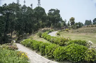
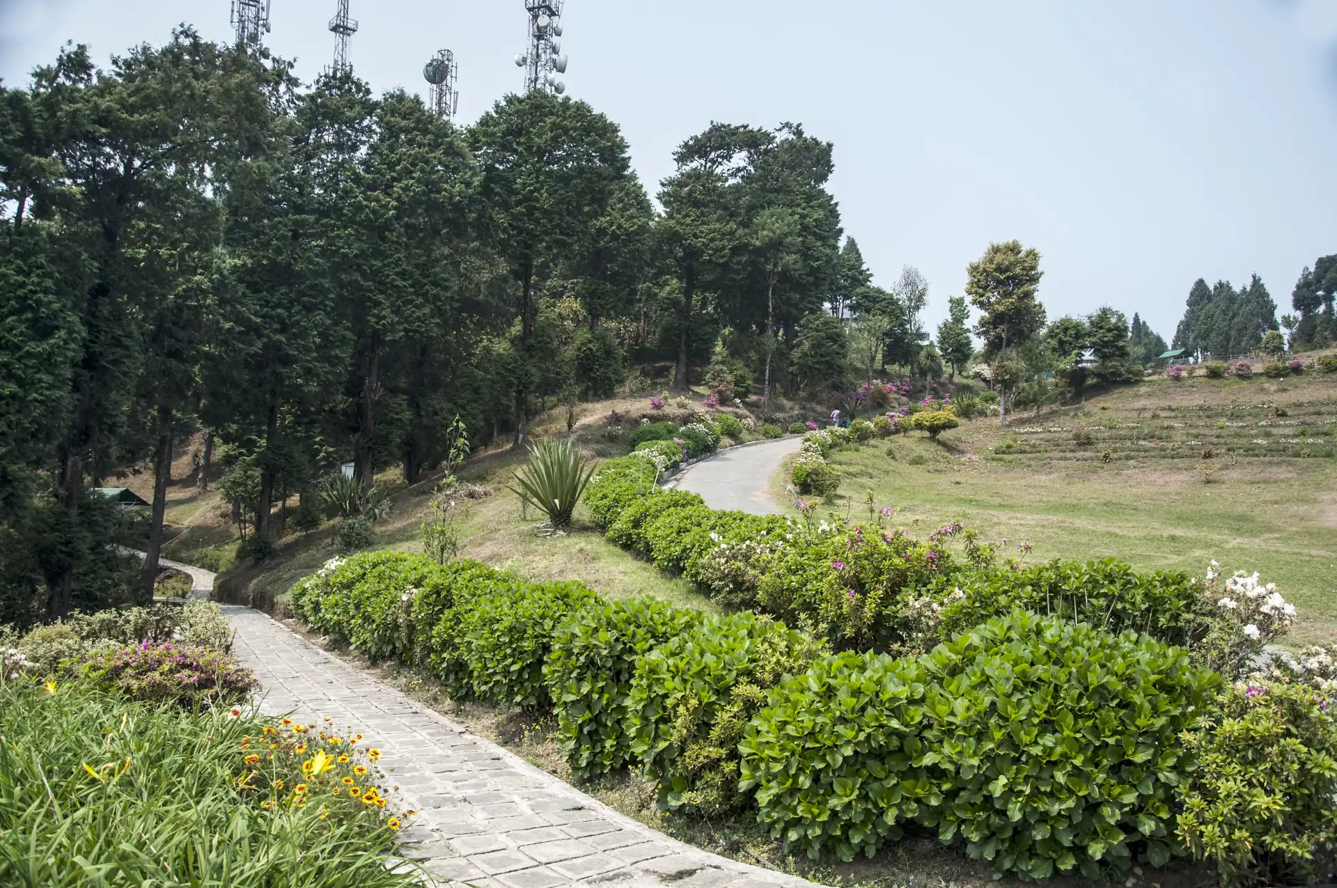
Deolo Hill — the 1,704 m viewpoint above Kalimpong
What it is
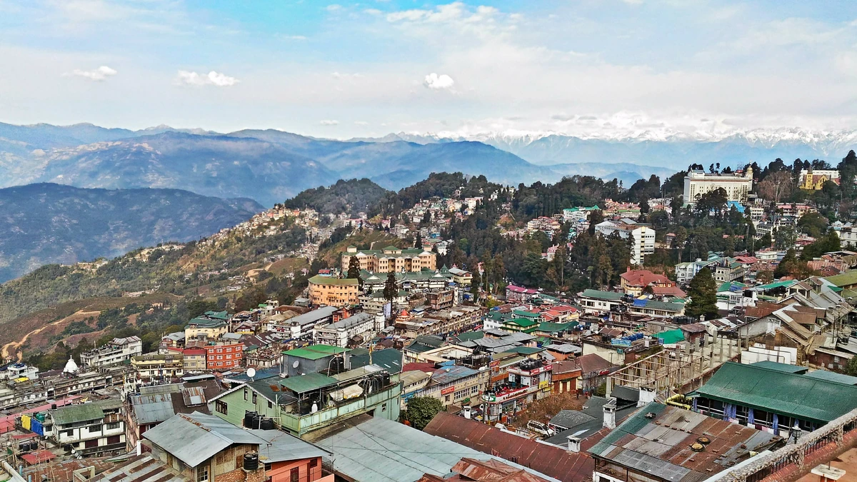
Deolo Hill, also spelled Delo, is the higher of the two hills between which Kalimpong stands on its ridge, at about 1,704 m. It lies north-east of the town. Wikipedia says three water reservoirs sit on top, two of them the town's main drinking water, and that a park with exotic flowers and a Hindu temple make it a favourite picnic spot.
Photos: Biswajit Majumdar (CC BY-SA 3.0) — via Wikimedia Commons, resized.
The view
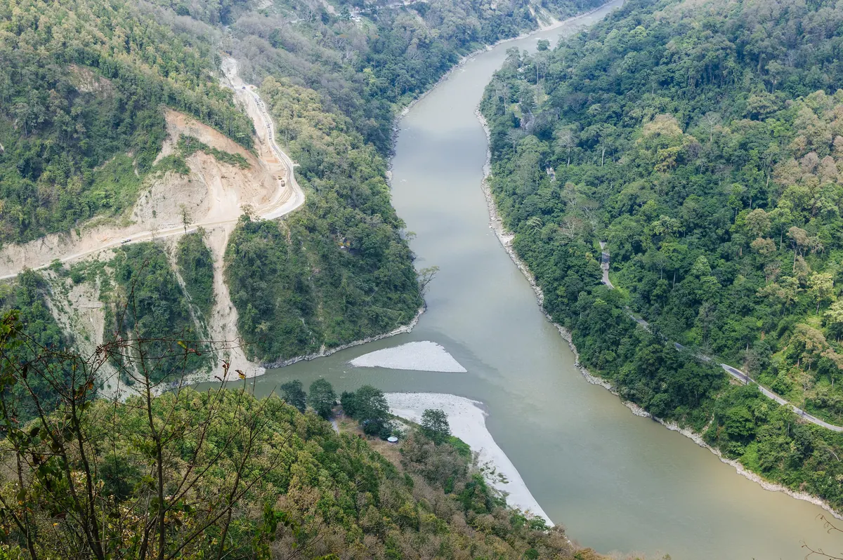
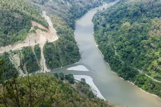
From the top you can see the town, the villages of the Relli valley and the Teesta river far below, and, when the air is clear, the white peaks of West Sikkim. Wikipedia counts Kanchenjunga, at 8,586 m, among the peaks visible from Kalimpong. Fog is common in the monsoon and in winter, so the best chance of a clear sky is an early morning in the dry months.
On the hill
The Kalimpong Science Centre, set up by the hill council in 2008, stands on the hilltop. The park is the usual stop. We have no verified opening hours, fares or ticket rules for the park, the Science Centre or for any activity on the hill; ask in town.
Combine it with
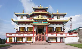
The one day in Kalimpong pairs Deolo with Zang Dhok Palri Phodang and Dr. Graham's Homes, which lies on the slope below. Read when to visit Kalimpong.
Plans that include this
All 2 plans that stop here →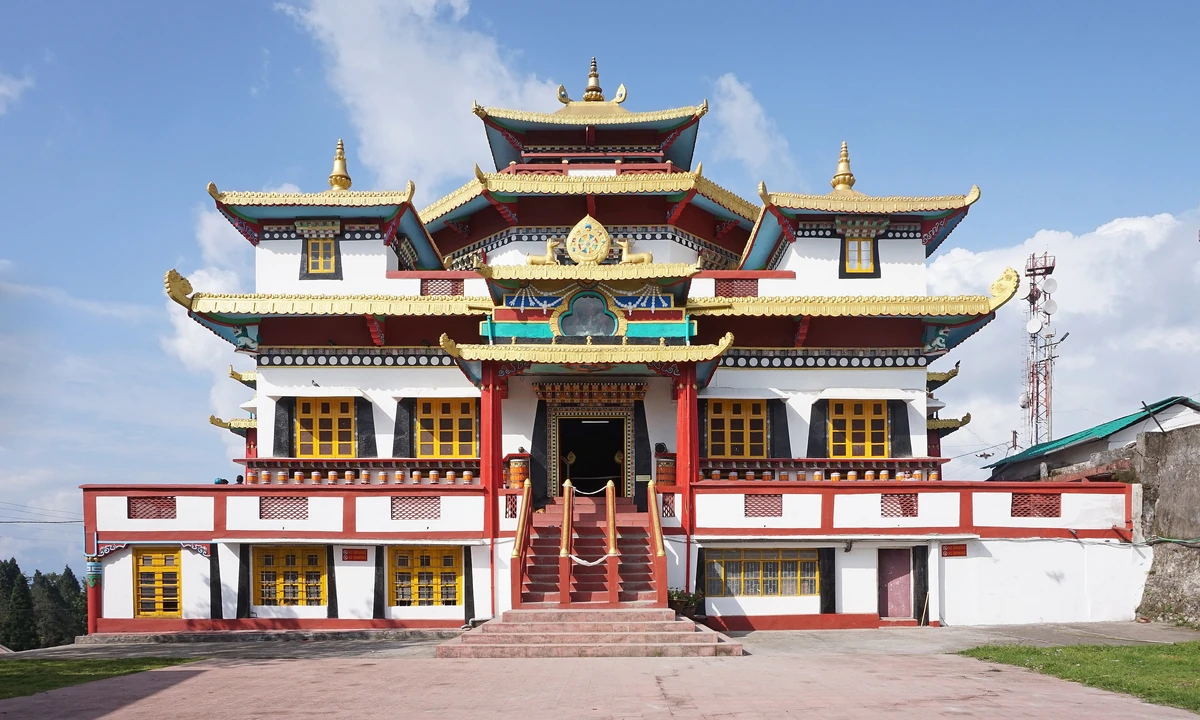
Nearby places
All of Kalimpong →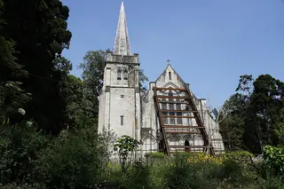
Nearby destinations
All destinations →
Questions people ask
How high is Deolo Hill?
About 1,704 m, or 5,590 feet, by Wikipedia's figure, which makes it the highest point in Kalimpong and the higher of the two hills the town's ridge joins. Durpin Hill, the other, is at about 1,372 m. Deolo lies north-east of the centre, about 7 km and 16 minutes away on our routing.
What can you see from Deolo Hill?
Wikipedia says the summit gives a 360-degree view of Kalimpong and the neighbouring hills, the Teesta river and its valleys, and in clear weather the high mountains of West Sikkim. Wikivoyage says Deolo gives the most sweeping panorama and a view of Kanchenjunga on a clear morning. Go early, before cloud and fog.
What is on top of Deolo Hill?
A park with flowers that is a popular picnic spot, a Hindu temple near it, and three water reservoirs, two of which supply the town's drinking water. Wikipedia also names the Kalimpong Science Centre, set up in 2008 by the hill council, on top of the hill. We have no verified opening hours.