Chandrashila
peak · 410 m away
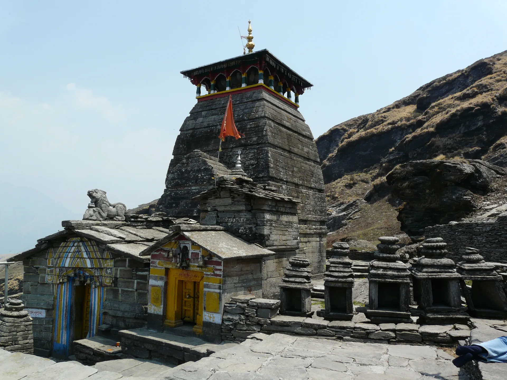
Tungnath is a stone temple of Shiva high on a ridge in Rudraprayag district, and Wikipedia ranks it at the top of the five Panch Kedar shrines. In the Panch Kedar legend, the arms of the bull form of Shiva appeared at Tungnath. The name means lord of the peaks. The temple is about 3,680 m up and is reached on foot from the road-head at Chopta; it is only open in the warmer half of the year.
Photos: Navdeep Gusain (CC BY-SA 4.0) · TEKSENG MOS (CC BY-SA 4.0) — via Wikimedia Commons, resized.
You drive to Chopta and walk. Wikipedia says the climb from Chopta is about 5 km on a stone-paved path with benches, taking 4 to 5 hours depending on fitness, and another article on the same site says 3.5 km. Our own trail measure is about 3.1 km. The sources do not agree, so start early and leave a margin. We have no verified entry rules, fees or permit requirements for the sanctuary area, so ask in Chopta.
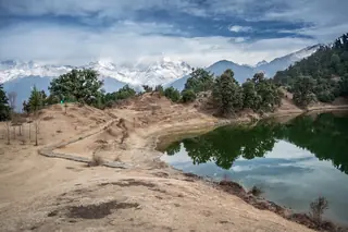
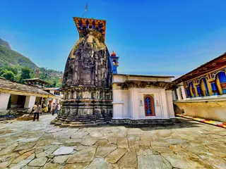
You climb through meadow and rhododendron, and the temple sits on a ridge with the snow range in front when the sky is clear. Wikipedia says the priest here is a local Brahmin from Makkumath, unlike the other Kedar temples, and that the rhododendrons flower in March. Our photographs show the temple in sun, the steps under deep snow, and the paved path up from the road.
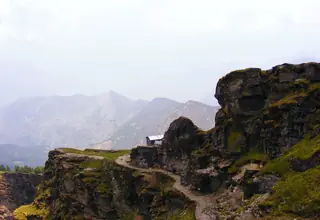
Chandrashila, the summit above, is a further steep climb of about 1.5 to 2 km, depending on which article you read; see its own page.
April to September is the season Wikipedia gives for the temple. Snow lies from about December to March and shuts the temple for around six months. See when to visit Chopta.
Chandrashila is the summit above the temple. Deoria Tal and Ukhimath lie down the road. The one-day plan is this walk, and the two-day plan adds the summit and the town below.
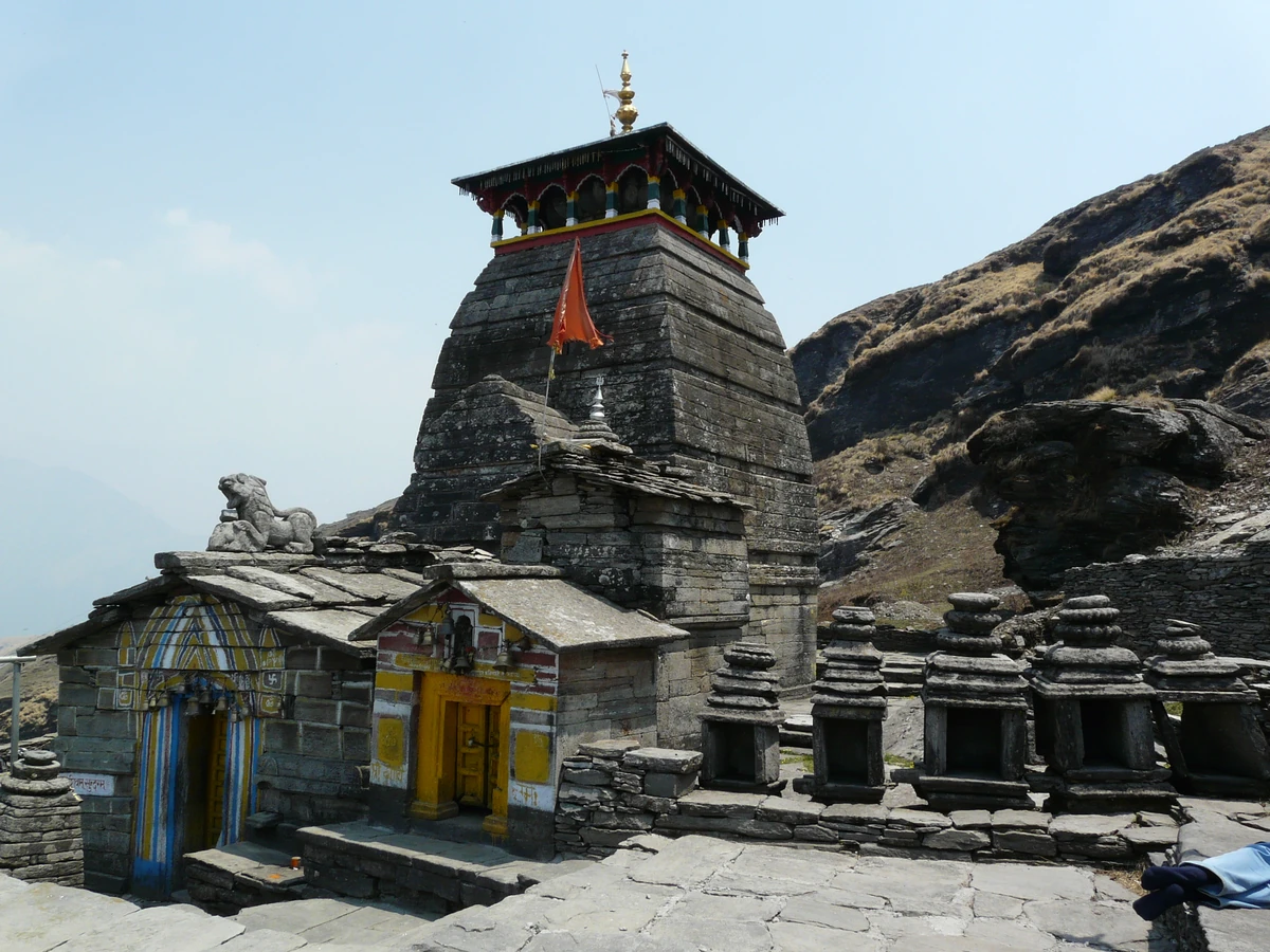
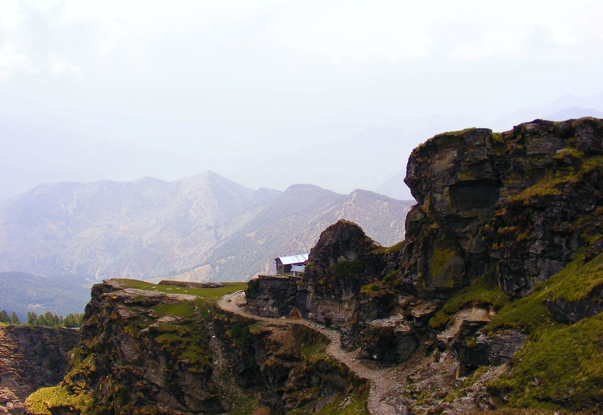
About 3,680 m, according to Wikipedia, which describes it as among the world's highest Shiva temples and the top one of the Panch Kedar group. It stands on a ridge between the Mandakini and Alaknanda valleys, just below Chandrashila. Figures for these heights differ between sources, so treat them as approximate.
Wikipedia's Tungnath article says about 5 km and 4 to 5 hours, a steep climb on a stone-paved path with benches, while its Chopta and Chandrashila articles say 3.5 km. Our own trail data gives about 3.1 km. Treat 3 to 5 km and a few hours up as the range.
No. Wikipedia says heavy snow shuts the temple for about six months, and the deity and the priests move down to the Markandeshwar Temple at Makkumath. It also says the best time to visit is April to September. Check the road and the temple with a local contact before you travel, because dates change with the snow.