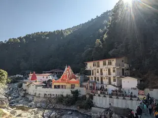
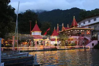
Naina Devi Temple, Nainital
temple · 348 m away
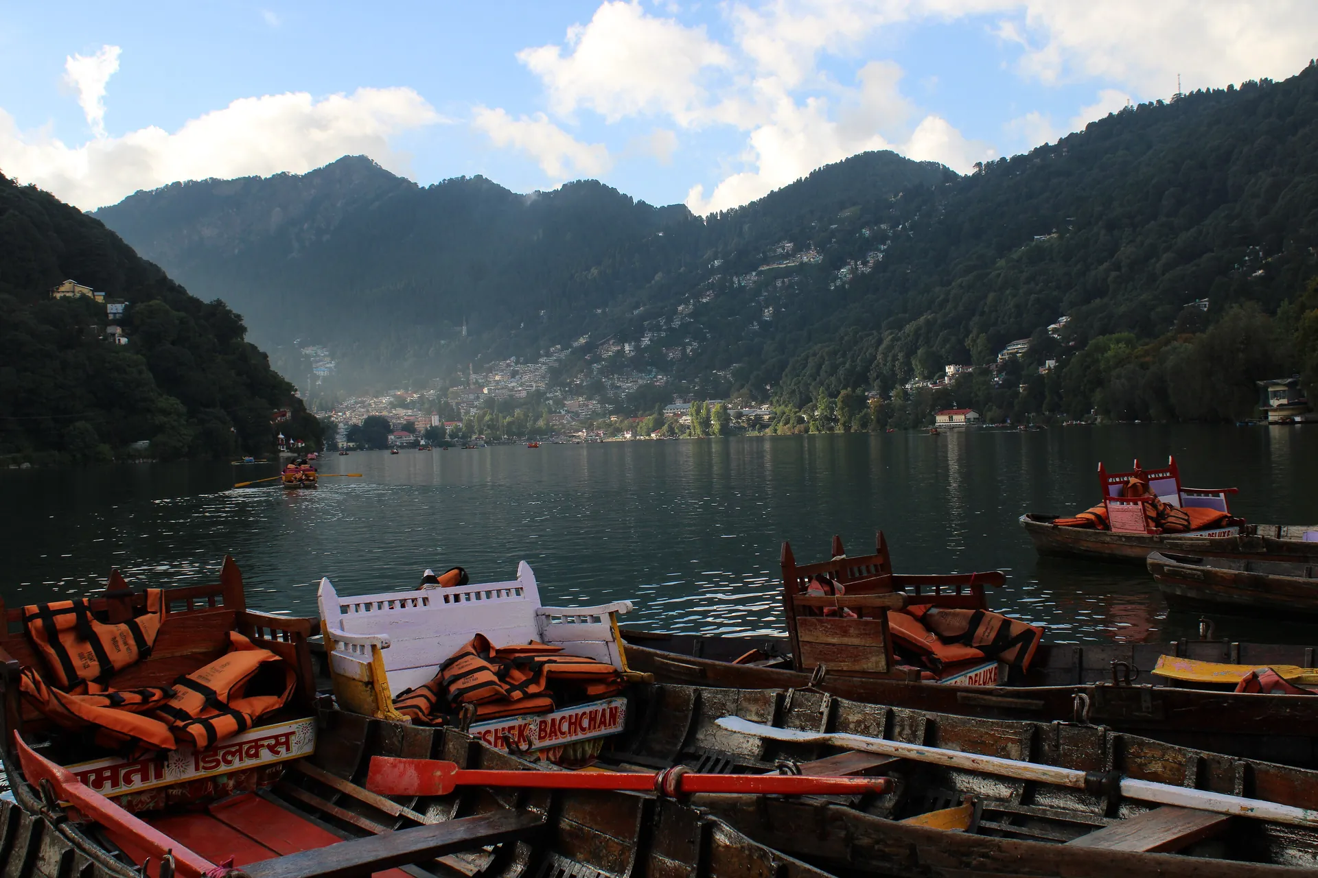
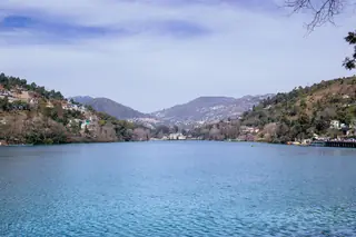
Nainital Lake is a crescent of water in a bowl of hills, and the town of Nainital is built around it. Wikipedia gives its length as 1,433 m and its width as 463 m, with a depth of about 24.6 m at the deepest point, and says it formed through movements of the earth. Boat stands, the Mall Road promenade and the Naina Devi Temple line its shore. The lake is why the town exists: P. Barron, an English sugar trader, is said to have stumbled on it on a hunting trip in 1841 and built the first European house on its shore.
Photos: Slyronit (CC BY-SA 4.0) · Sanjoy (CC BY 2.0) — via Wikimedia Commons, resized.
It is in the middle of town. From the hub point the road distance is about 3.3 km and 10 minutes, and the lakeside is a short walk from most hotels. The Mall Road follows the shore, and boats leave from the stands along it. We have no verified boat rates, so agree a price before you board.
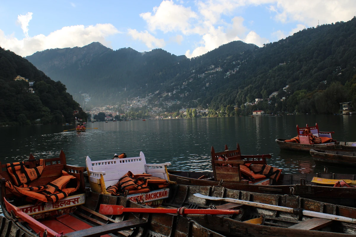
Walk the Mall Road, take a boat, and look at the slopes that surround the water: Naina Peak on the north-west and the Snow View ridge on the north, with conifer forest over the hills. Our photographs show the boats lined up with cushioned seats, the Mall Road under bare trees and the whole crescent from above at Snow View. Wikipedia says the rainfall in the lake's catchment is about 1,295 mm a year.
The lake has a history of landslides on its slopes. The great slip of 18 September 1880 buried 151 people at the northern end, and the town made new drains and stricter building rules after it. Wikipedia reports that many settlements around the lake sit in landslide-prone ground, and it records concern about drain water reaching the lake.
April to June is comfortable and the post-monsoon weeks are clear; mid-November to mid-March is cold, with frost and mist in December and January. See when to visit Nainital.
Naina Devi Temple is on the north shore, a short walk along the Mall Road. Kainchi Dham is 43 minutes by road and Bhimtal Lake 47. The one-day plan starts here; the two-day plan adds Bhimtal and Sattal.
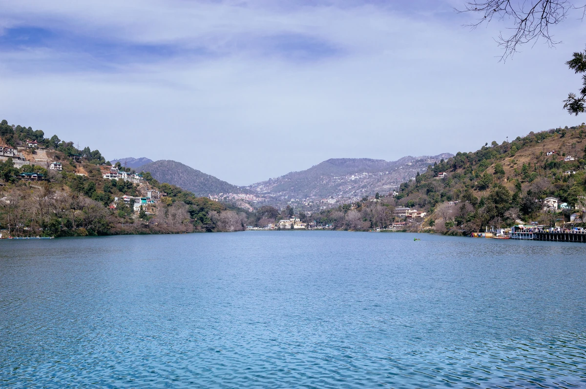
About 1,433 m long and 463 m wide, by Wikipedia's figures, with a greatest depth of about 24.6 m. It is a natural lake of tectonic origin and was once almost round, until landslides made it crescent-shaped. Wikipedia counts it the third biggest in Uttarakhand by surface area and one of four main lakes of Kumaon.
The usual account links it to the goddess Sati. In the legend, her right eye, or nain, fell here when her body was carried across the world, and the lake is held to be one of the Shakti Peeths. Tal means lake, so the name reads as lake of the eye. The Naina Devi Temple stands on its north shore.
On 18 September 1880, after heavy rain, a landslide at the northern end of the lake buried 151 people, 108 Indian and 43 European, and destroyed the Naina Devi Temple and the Assembly Rooms. The town later laid out a level recreation ground called the Flats where it had stood, and added drains and stricter building rules.