
How to reach Katra — by train, by road from Delhi and Jammu, and on to Srinagar
How to reach Katra for Vaishno Devi: SVDK station and the Vande Bharat to Srinagar, Delhi 642 km by road, Jammu station and airport, with measured times.
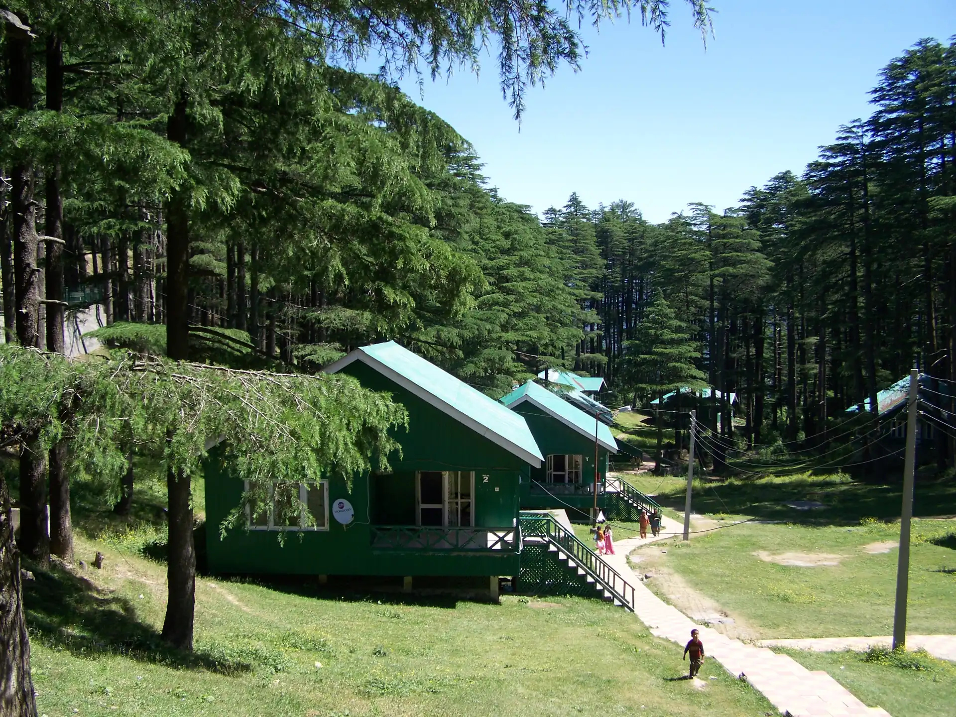
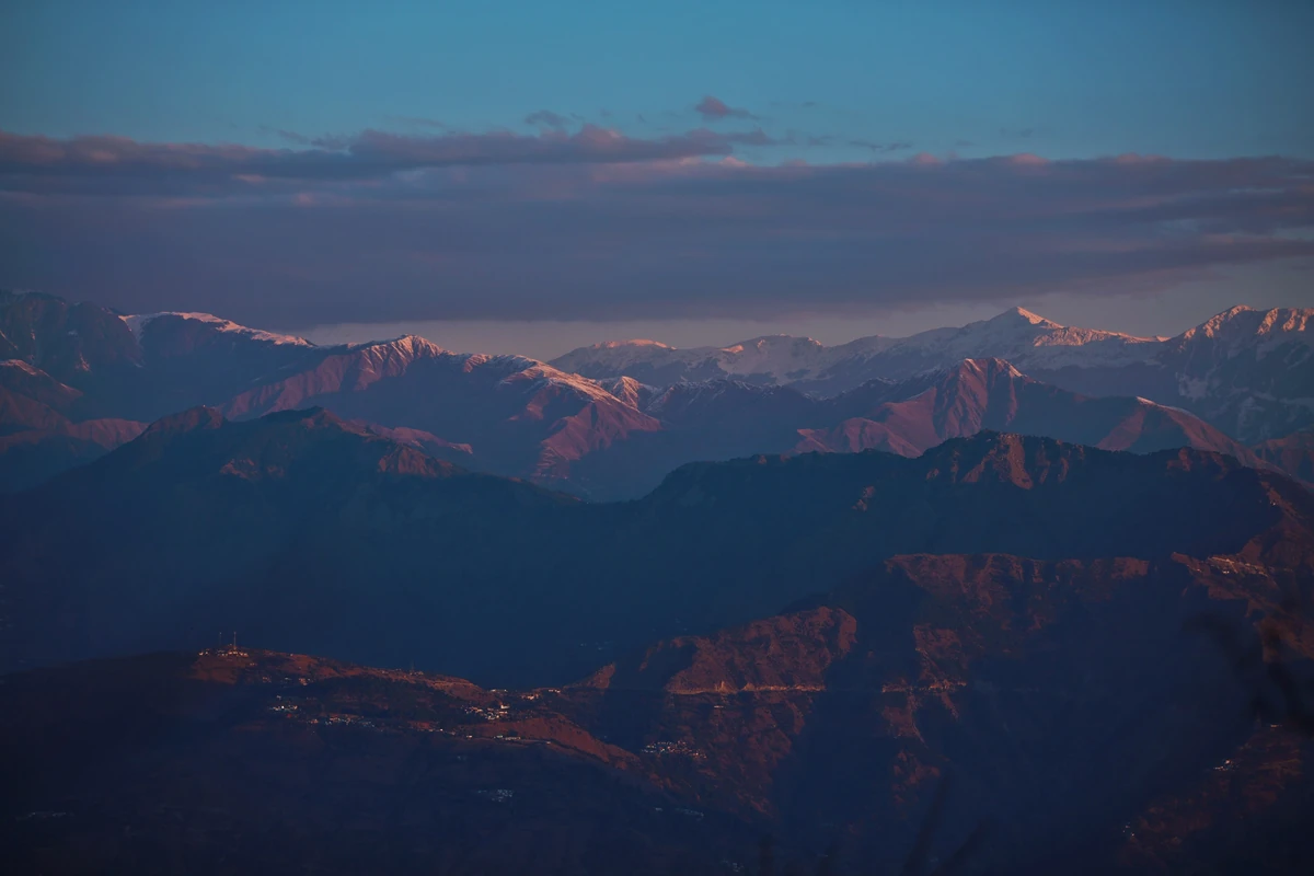
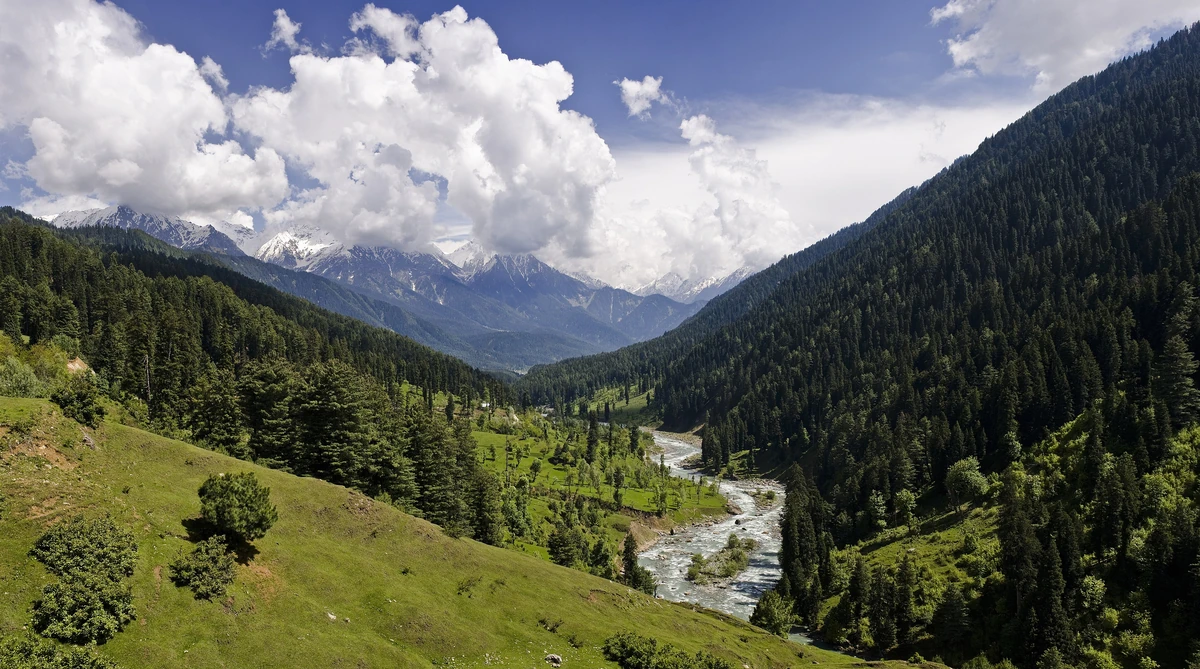
Patnitop is the pine hill station on the road between Katra and the Kashmir valley, high enough to carry snow in winter and cool in summer. Wikipedia places it at about 2,024 m, between Udhampur and Ramban on the Jammu–Srinagar highway, with the Chenab flowing nearby.
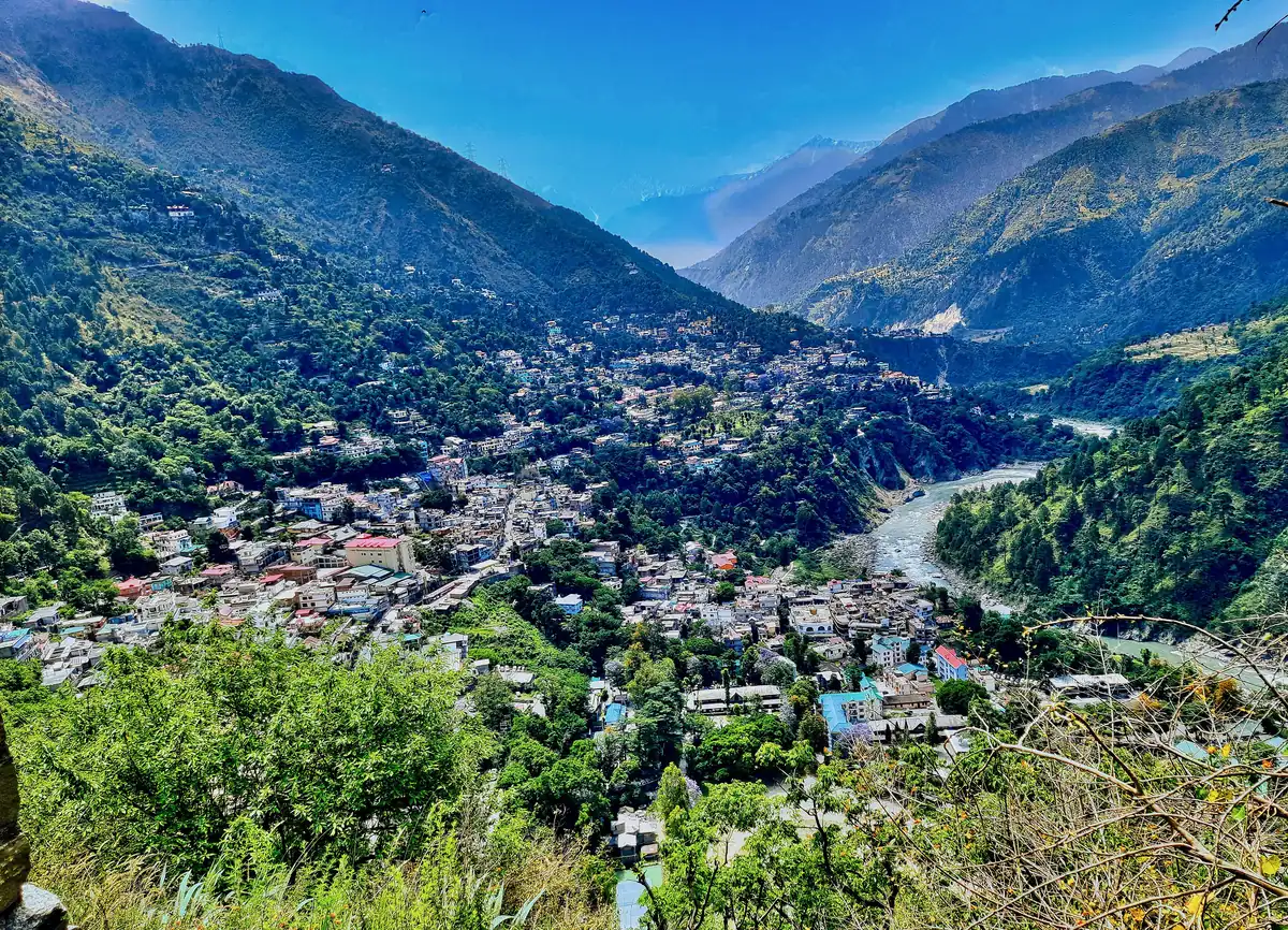
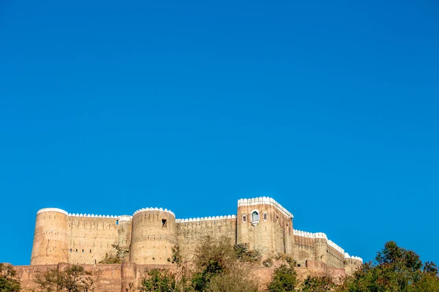
Photos: Guptaele (CC BY-SA 4.0) — via Wikimedia Commons, resized.
On our routing over OpenStreetMap, Patnitop is about 79 km and 89 minutes from Katra, and about 101 km and 108 minutes from Jammu; Wikipedia gives 112 km from Jammu. Srinagar is a further 164 km or so on from Patnitop.
In winter, heavy snowfall and avalanches at Patnitop used to close the highway for long spells, with queues of vehicles sometimes lasting days. The Dr Syama Prasad Mookerjee Tunnel, 9.2 km long, now carries the road under that stretch, from near Chenani to Nashri, and cuts 31 km from the Jammu–Srinagar distance. It bypasses Patnitop, so go to the hill station by choice, not on the way through. Ask about snow and the road before a winter visit.
The Skyview Patnitop ropeway, which opened to the public on 20 July 2020, connects Sanget with Patnitop in about 15 minutes, Wikipedia says, instead of about an hour and a half by road. We have no verified fares or operating hours.
Read how to reach Katra, and copy the three days from Katra; for the valley beyond, see Srinagar and its spring and meadow day trips.
About 79 km and 89 minutes by road on our routing over OpenStreetMap. From Jammu Wikipedia gives 112 km, and our routing measures about 101 km and 108 minutes. Patnitop lies on the Jammu–Srinagar highway between Udhampur and Ramban, so it is a natural halt for anyone driving between Katra and the Kashmir valley.
Yes. Wikipedia says frequent snowfall and avalanches in winter used to block the highway at Patnitop, sometimes for days. The Dr Syama Prasad Mookerjee Tunnel, 9.2 km long, now takes the highway under that stretch and bypasses Patnitop itself, so a visit to the hill station is a deliberate detour rather than the road to Srinagar.
Wikipedia describes the Skyview Patnitop ropeway, which opened for passengers on 20 July 2020 and cuts the trip between Sanget and Patnitop to about 15 minutes from the earlier hour and a half. We have no verified fares, timings or operating rules for it, so check on the day.