

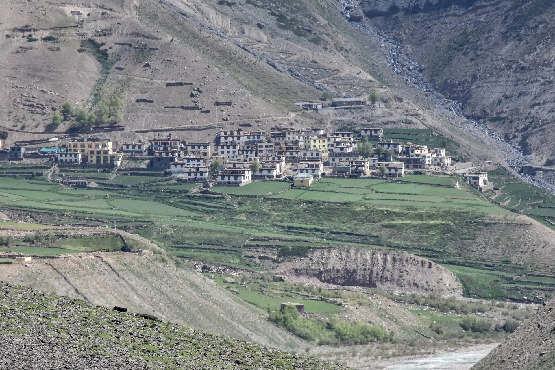
Mudh — the last village in the Pin valley
What it is
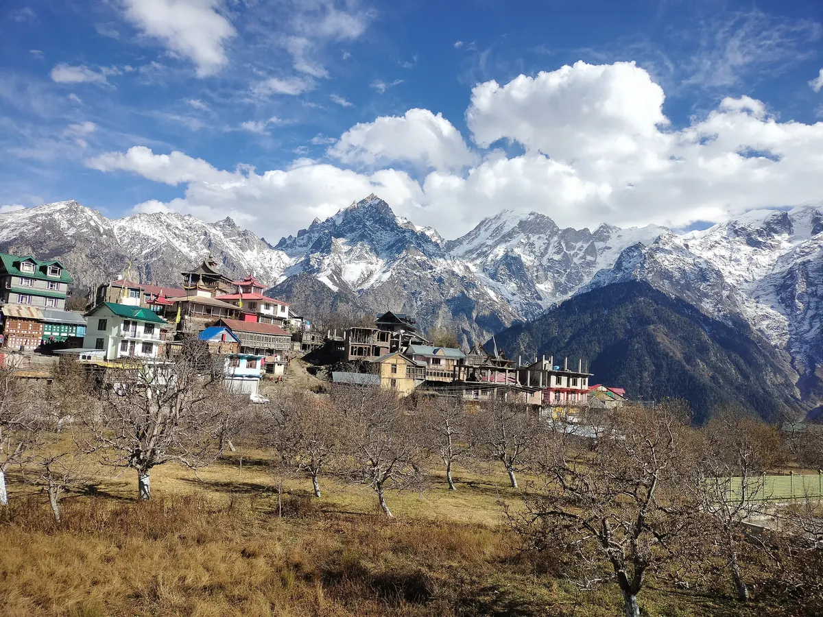
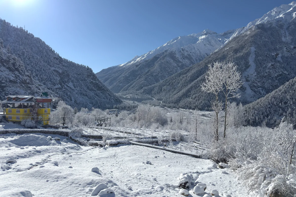
Mudh, also written Mud or Muth, is a small village at about 3,810 m beside the Pin River in Spiti, on its left bank, the last place the road reaches in the Pin valley. The Parbati range rises almost sheer, some 1,600 m, behind it, and the boundary of Pin Valley National Park is close. For most visitors it is the end of the drive; for walkers it is the start of two high crossings.
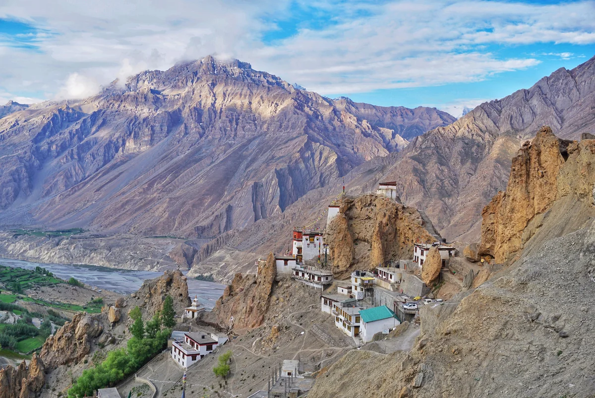
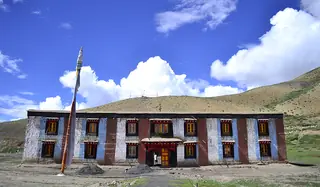
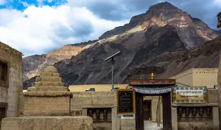
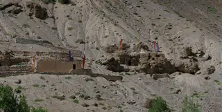
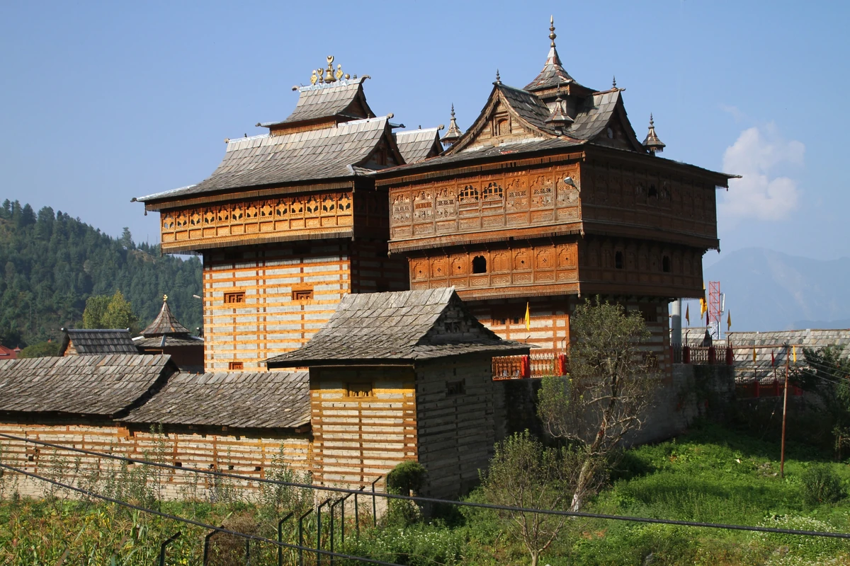
Photos: Timothy A. Gonsalves (CC BY-SA 4.0) · Timothy A. Gonsalves (CC BY-SA 4.0) · Timothy A. Gonsalves (CC BY-SA 4.0) · Timothy Gonsalves (CC BY-SA 4.0) — via Wikimedia Commons, resized.
Getting there
From Kaza it is about 48 km and roughly 73 minutes by road, turning off the Spiti road and up the Pin. From Tabo, Wikipedia puts it at about 65 km. In summer public buses and private vans run from Kaza up to Mikkim and Mudh. In winter the buses stop, and the approach is by your own vehicle and then on foot for the last part. The village has a few homestays.
The village that named a rock
Mudh is famous among geologists. In the 1860s Ferdinand Stoliczka, a Moravian geologist with the Geological Survey of India, made the village his base and named a rock layer after it; later geologists kept the name, and today it is the Muth Formation. It is a hard white quartz rock, 258 to 300 m thick, laid down as coastal sand in the old Tethys Sea and dated to the Early Devonian. With so little rain or snow the valley walls barely weather, so the layers stand out on the cliffs without anyone digging, which is why geologists have kept coming back.
In and around the village
Mudh has two Buddhist nunneries of the Nyingma school, the oldest of the four Tibetan schools, with meditation caves on the Killung Nala, the small stream that meets the Pin here. The national park's birds and animals can sometimes be seen in the valley around it: ibex, bharal, red fox, choughs and golden eagles among them. Trails run north and west into the park.
The passes beyond
Beyond Mudh there is no other village on the Spiti side of two old crossings. One goes west over the Pin Parbati Pass, at 5,319 m, down the Parvati valley to Manikaran and Kullu, and usually takes five to seven days. The other goes south over the Pin Bhaba Pass, at 4,890 m, to Kaphnu in Kinnaur, about 50 km in four to five days. We do not plan these treks; they are serious high-altitude walks, and the people of the valley are the ones to ask.
When to go
Wikipedia calls the weather mild from April to October, with days of 15 to 20 °C in May and June, and nights that can fall to −20 °C in winter. Summer, when the buses run, is the practical time for a visit from Kaza.
Around it
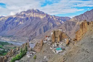
Dhankar sits near the mouth of the Pin on the way back, with Dhankar Lake above it, and Kungri Monastery is in the Pin valley itself. The two-day Kaza plan covers Dhankar; things to do in Kaza has the rest of the valley.
Plans that include this
All Kaza itineraries →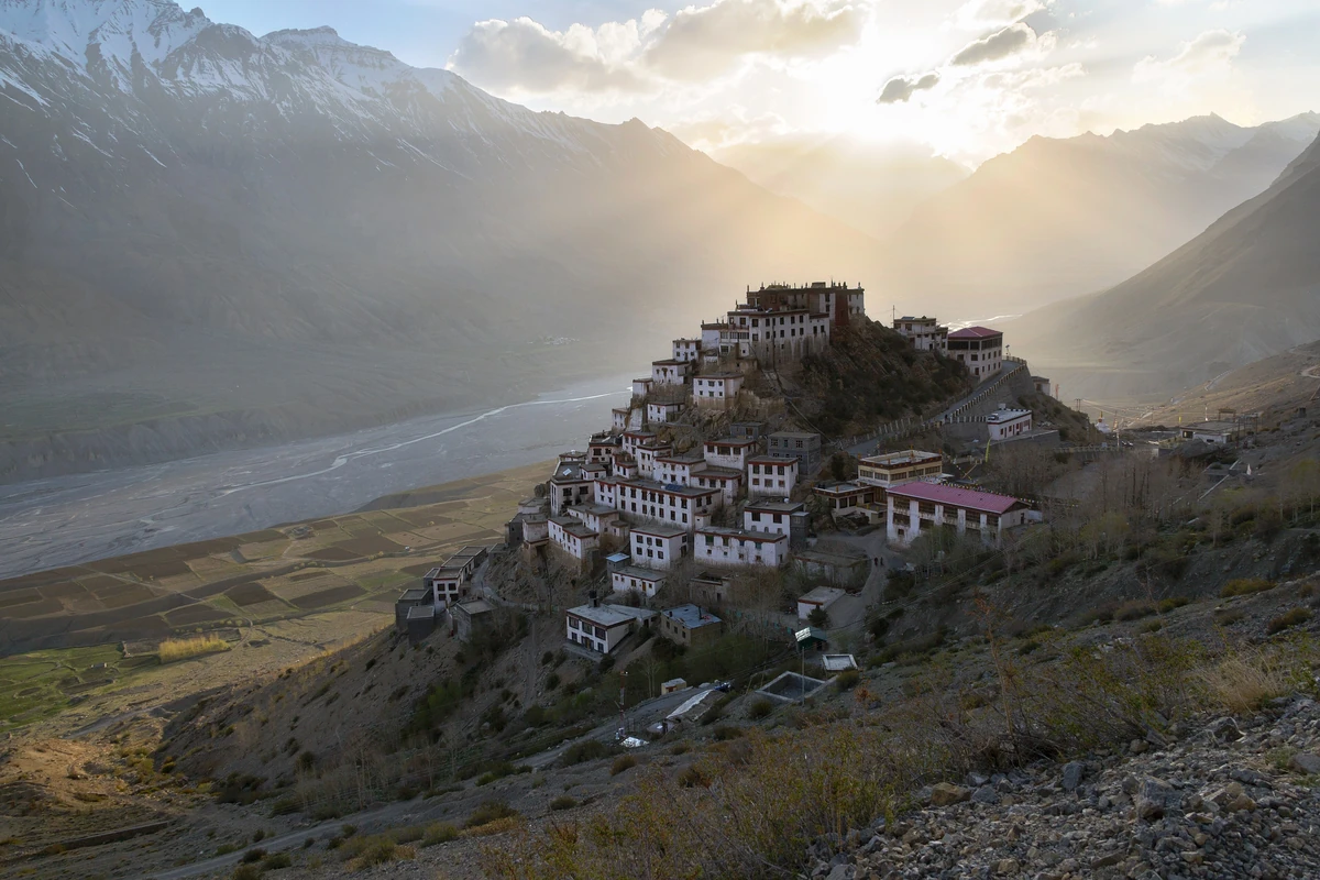
Nearby places
All of Kaza →
Nearby destinations
All destinations →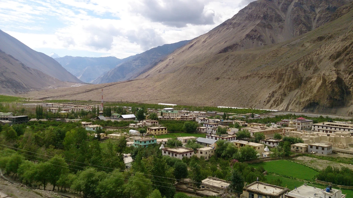
Questions people ask
How far is Mudh from Kaza?
About 48 km by road, roughly 73 minutes by our routing, up the Pin valley from the Spiti road. Wikipedia gives the same 48 km and about 65 km from Tabo. In summer public buses and private vans run from Kaza to Mikkim and Mudh; in winter the buses stop and the last stretch may be on foot.
Why is Mudh famous with geologists?
In the 1860s the Moravian geologist Ferdinand Stoliczka based his Himalayan fieldwork here and named a rock layer after the village, now called the Muth Formation. It is a hard white quartz rock 258 to 300 m thick, laid down as coastal sand in the old Tethys Sea and dated to the Early Devonian.
Which treks start from Mudh?
It is the last Spiti village on two crossings. One runs west over the Pin Parbati Pass at 5,319 m to the Parvati valley, usually five to seven days. The other runs south over the Pin Bhaba Pass at 4,890 m to Kaphnu in Kinnaur, about 50 km in four to five days. We plan neither.