
Nako — the lake village and its 11th-century monastery
What it is
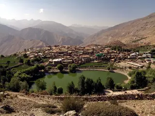
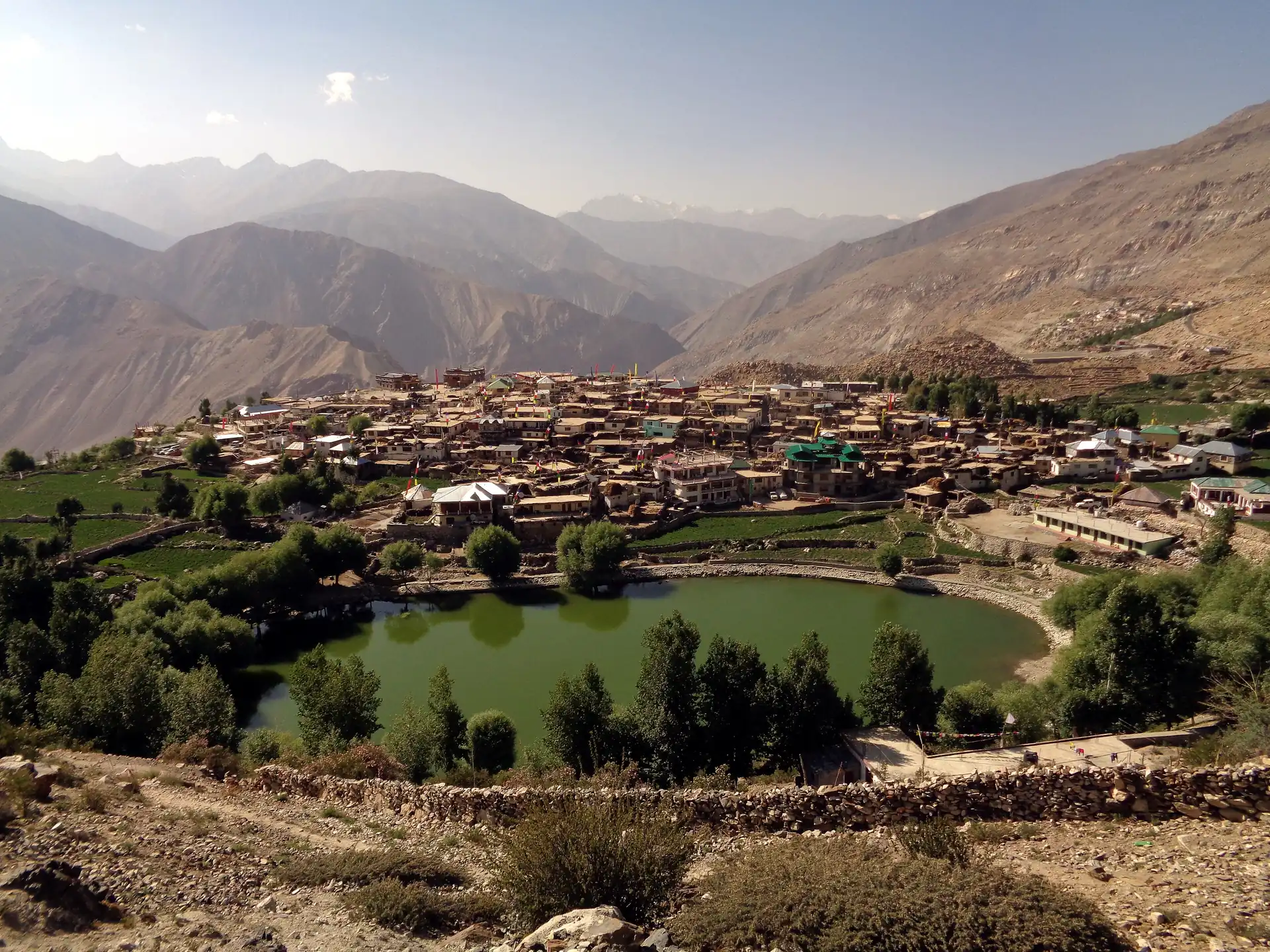
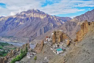
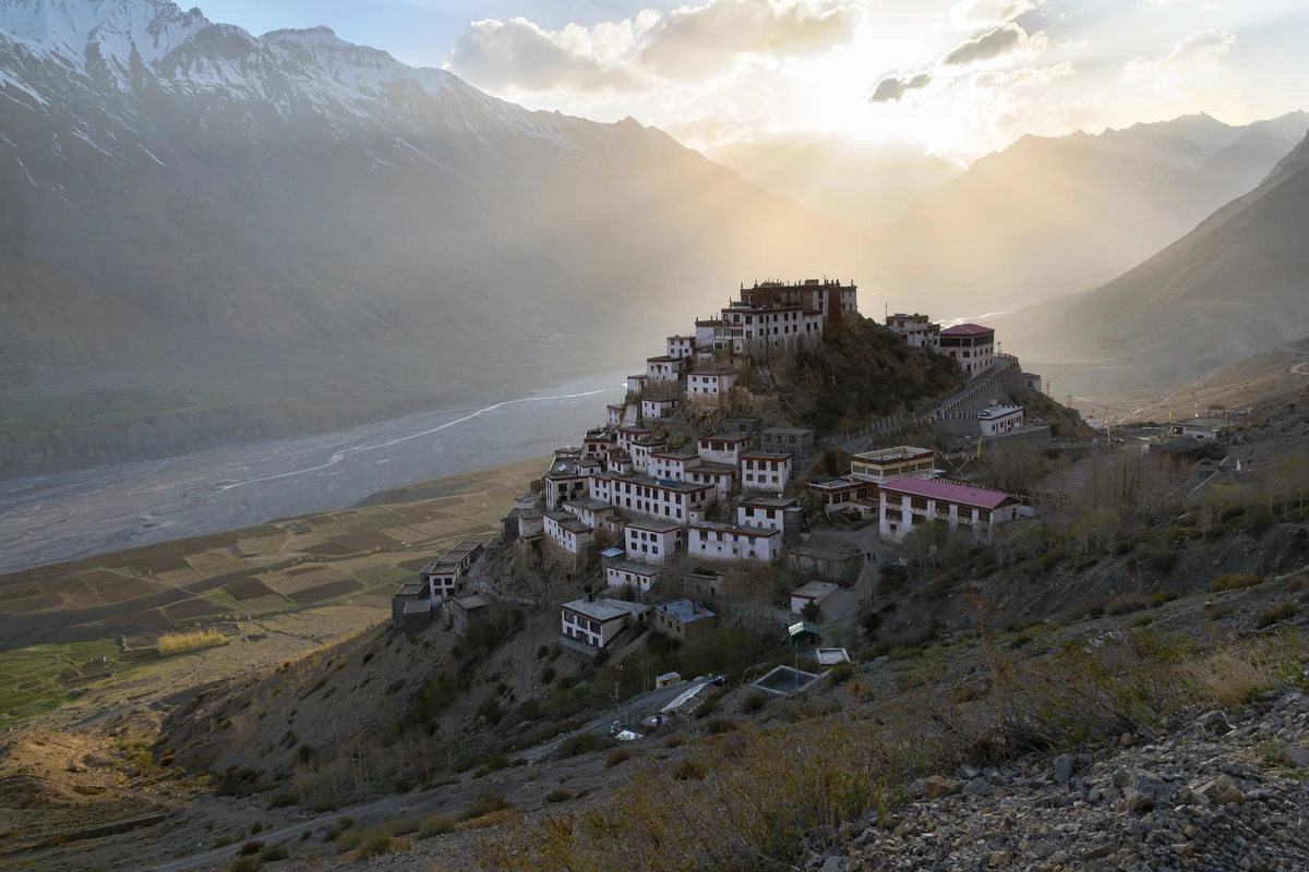
Nako is the largest village of the Hangrang valley in Kinnaur, close to the India–China border, at about 3,625 m (Wikipedia also gives 3,662 m). It sits beside a small lake on the slopes of Reo Purgyal, which at 6,816 m is the highest mountain in Himachal Pradesh, and it has a monastery dated to 1025 AD. The village moved here from across the Nako river, where the ground kept rising under it.
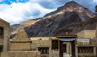
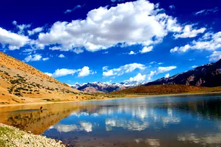
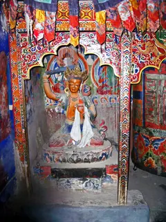
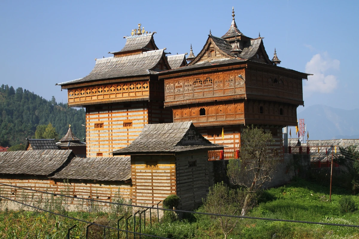
Photos: Sukanya Ray (CC BY-SA 4.0) · Prof Ranga Sai (CC BY-SA 4.0) · Prof Ranga Sai (CC BY-SA 4.0) · Nrr1729 (CC BY-SA 4.0) — via Wikimedia Commons, resized.
Getting there
From Tabo it is about 63 km and roughly 98 minutes by road, down the Spiti and into the Hangrang valley. That makes it a long day out, or a stop on the way between Tabo and Reckong Peo. Leave with fuel and water. The village is near the border: we have found no published permit rule for it, so ask in Tabo the day before and carry identification.
The monastery
The gompa in the upper village is dated to 1025 AD and built in a style close to Tabo Monastery. It is also called the Lotsava Lhakhang, the complex of the translator, after Rinchen Zangpo, who put Buddhist texts from Sanskrit into Tibetan. Of its four halls the oldest and largest is the Dukhong, its walls painted with a complete mandala, with clay figures of the five Dhyani Buddhas. The hall to the east has a stucco Yellow Tara, and a third hall an image of Vairochana. A shrine inside the complex belongs to Purgyal, the local deity, the spirit of the mountain.
The 1975 earthquake damaged the roofs of the monastery and the village, and after the hard winter of 1998 the buildings came close to collapse. That May the University of Vienna began a restoration with INTACH, the Buddhist association of Nako and the villagers, and in July 2002 the Nako Preservation Project was set up to keep the work going.
The lake
Nako Lake lies at about 3,636 m at the edge of the village, fed by the slopes of Reo Purgyal. Many birds come to it at dusk. On a rock beside it a footprint is believed to be that of Padmasambhava, marking his visit, and a shrine with his stucco statue has been built around it. The same teacher is honoured far to the south at Rewalsar Lake.
When to go
Tabo's short summer runs from May to August and its long winter from mid-September, by Wikipedia's account. Nako sits higher than Tabo, and we have no weather records for Nako itself, so ask about the road in Tabo before setting out in any month.
Around it
The two-day Tabo plan pairs the monastery with Gue, the other drive towards the border, and the Tabo caves fill a short morning at home. For the road in and out, read how to reach Tabo, and for the rest of the valley, things to do in Tabo.
Plans that include this
All Tabo itineraries →
Nearby places
All of Tabo →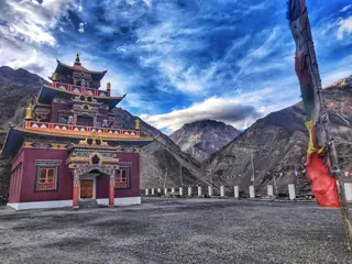


Nearby destinations
All destinations →
Questions people ask
How far is Nako from Tabo?
About 63 km by road, roughly 98 minutes by our routing, down the Spiti valley and into the Hangrang valley of Kinnaur. It makes a long day out from Tabo, or a stop on the road between Tabo and Reckong Peo, which Wikipedia puts at about 103 km from the lake.
How old is Nako Monastery?
It is dated to 1025 AD, in the 11th century, and built in a style close to Tabo's. It is also called the Lotsava Lhakhang, the complex of the translator, after Rinchen Zangpo. Of its four halls the oldest and largest is the Dukhong, painted with a full mandala, with a stucco Yellow Tara in the next hall.
Do I need a permit to visit Nako?
Nako is close to the India–China border, but we have found no verified, published rule on permits for the village itself. Ask in Tabo or Reckong Peo before you set out, carry identification, and do not photograph anything that looks military. We will add the rule here once we can cite it.