
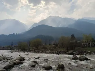
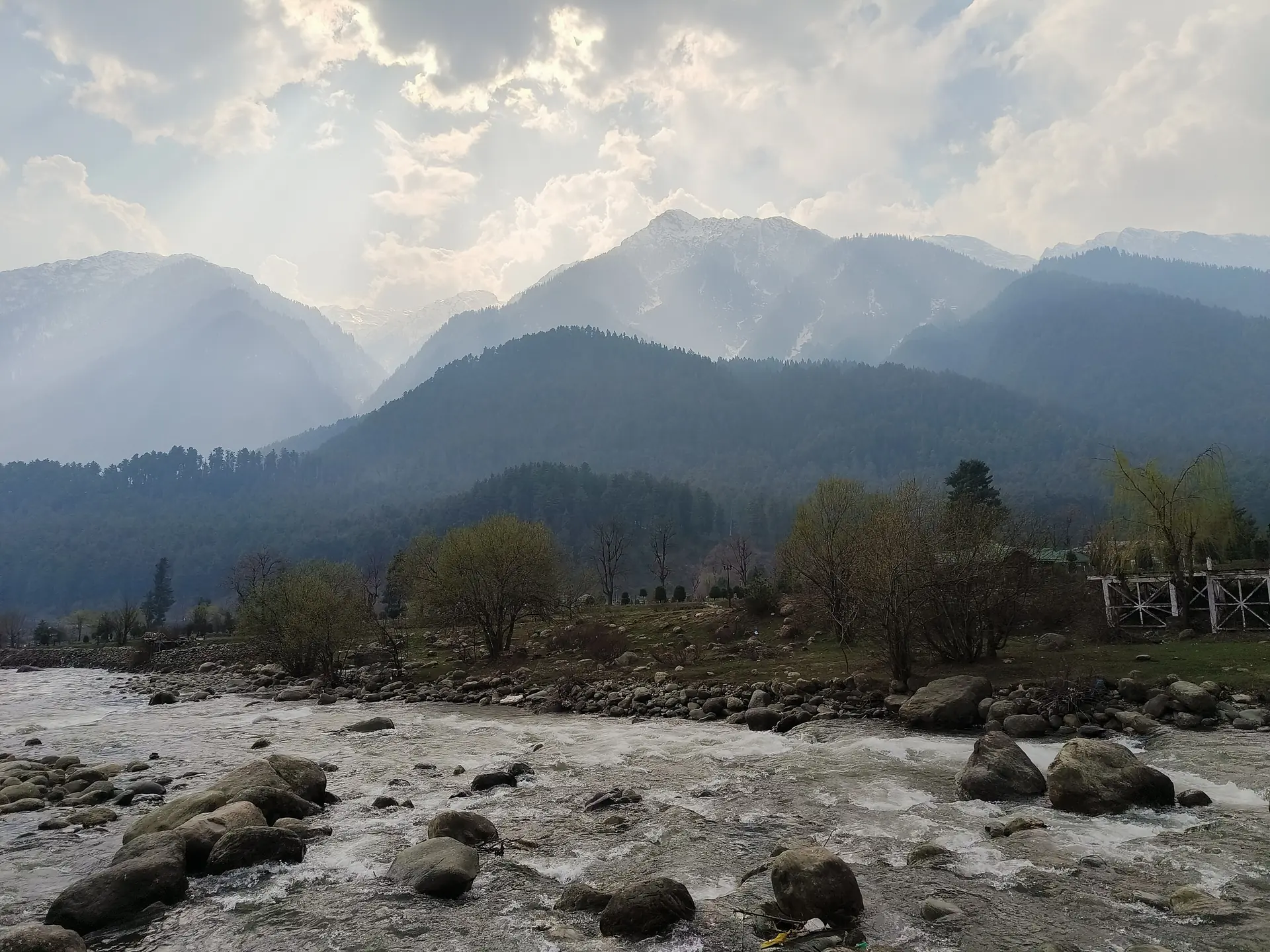
The Lidder Valley at Pahalgam — river, meadows and pine forest
What it is
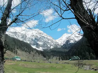
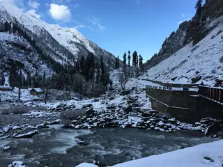
The Lidder Valley is the valley of the Lidder River, east of the Jhelum in the Vale of Kashmir. Wikipedia describes the river as 73 km long, rising at the Kolahoi Glacier and meeting the Jhelum at Mirgund Khanabal, at about 1,615 m. Pahalgam stands in the middle of it, at about 2,200 m, where the East Lidder from Sheshnag Lake joins the main stream.
Photos: Nandanupadhyay (CC BY-SA 3.0) — via Wikimedia Commons, resized.
The land
At Pahalgam the valley divides in two, one branch leading north-east towards the Amarnath Temple and one north-west to Aru. The rocks are volcanic and limestone, and the forest is mainly evergreen fir, pine and spruce. Wikipedia says the river's water is crystal blue, and that trout live in it.
Visiting
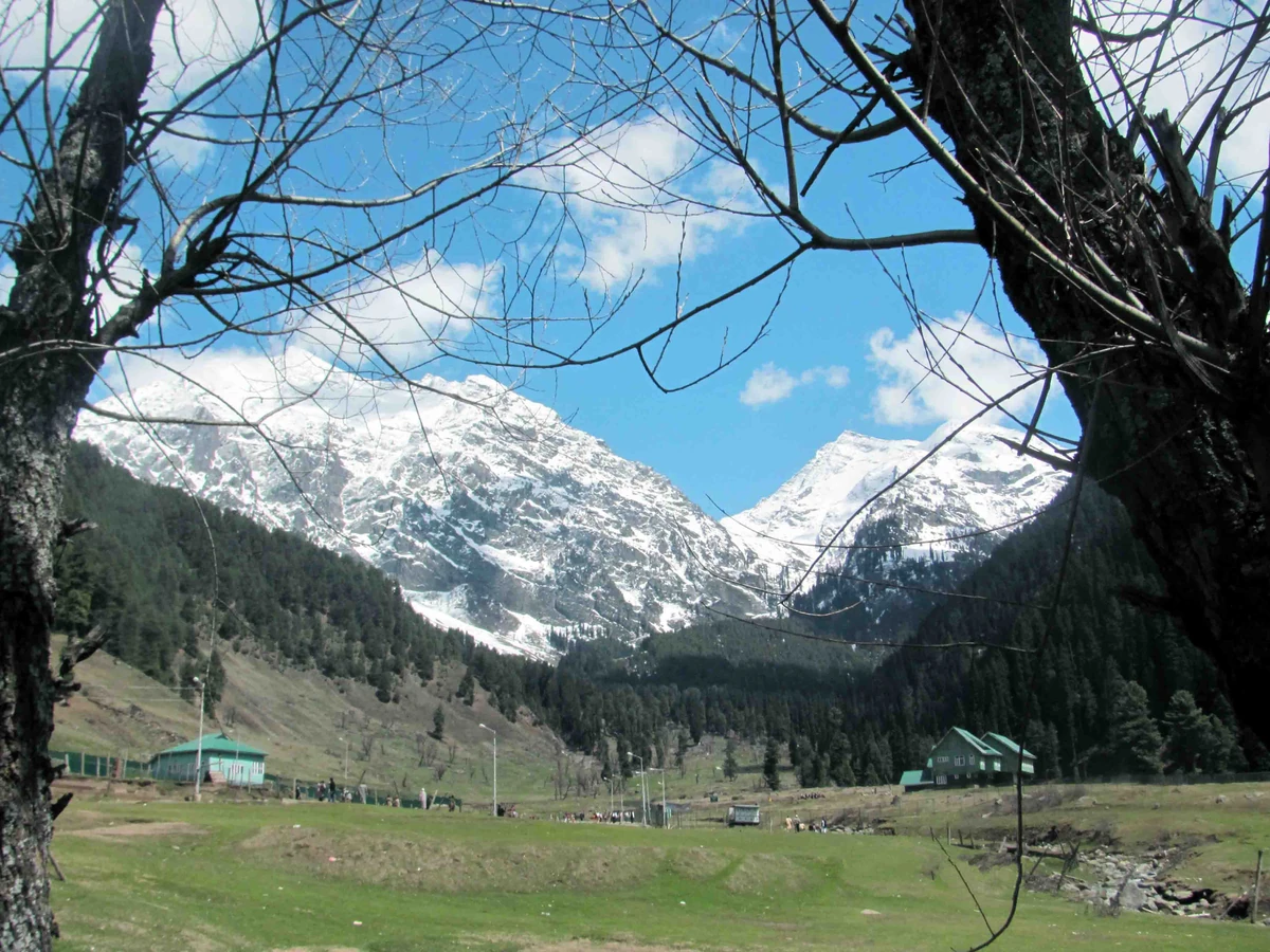
The viewpoint is under 2 km from the town. You can walk the banks and meadows from there. We have no verified rates for ponies or guides; agree the price first.
Combine it with
The Mamleshwar Temple is on the same river. The one-day plan and the Aru day use the valley. Read things to do in Pahalgam.
Plans that include this
All 2 plans that stop here →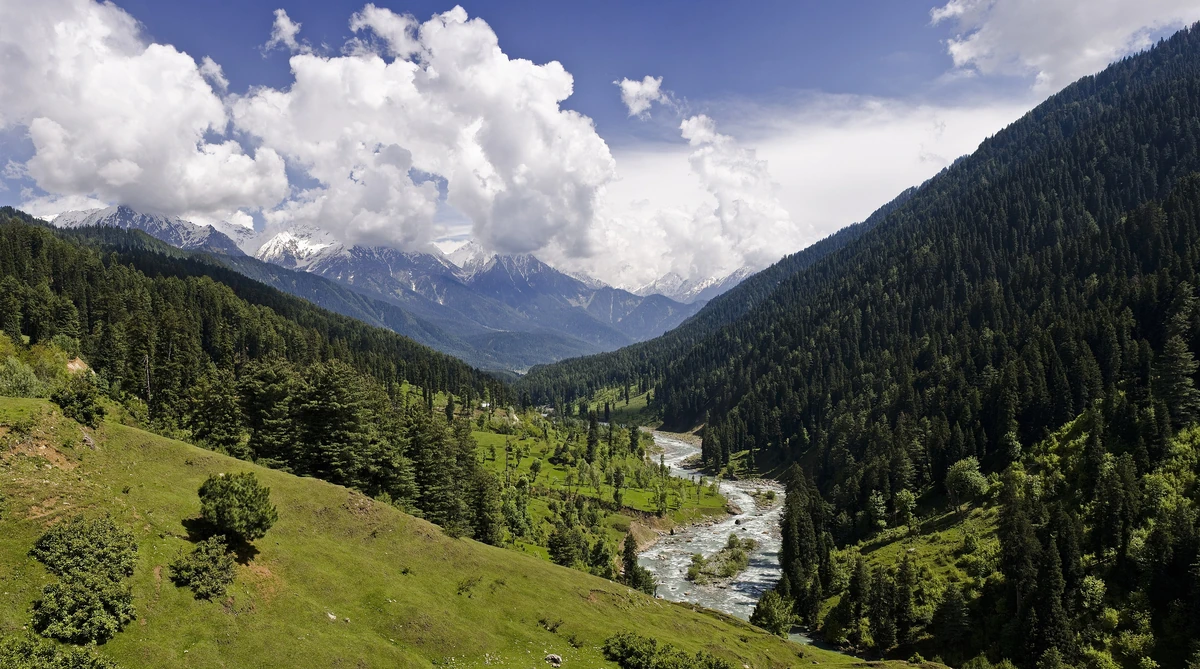
Nearby places
All of Pahalgam →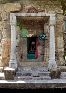
Nearby destinations
All destinations →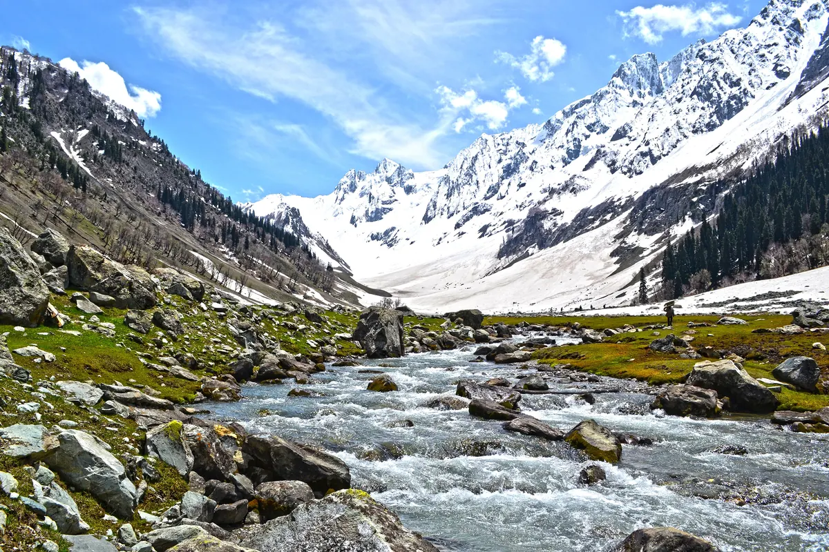
Questions people ask
What is the Lidder Valley?
The valley of the Lidder River, which Wikipedia describes as 73 km long, rising at the Kolahoi Glacier and joining the Jhelum at Mirgund Khanabal at about 1,615 m. Pahalgam stands in the middle of it, where the East Lidder, from Sheshnag Lake, joins the main river. Its slopes are fir, pine and spruce.
What is there to do in the Lidder Valley?
Walk the riverbanks and meadows, picnic, and use Pahalgam as a base for Aru and the high lakes. Wikipedia says the river holds river and rainbow trout, and Aru offers trout fishing among its activities. We have no verified rates for ponies or guides; agree the price first.
How far is it from Pahalgam town?
The valley starts at the town, and the mapped viewpoint is under 2 km away. Tracks lead upstream towards Aru, about 12 km on, and downstream along the river. The weather changes quickly at height, so carry a rain layer, and check local conditions before you go further up the valley.